
MyTopo
Classic USGS Fort Drum NW Florida 7.5'x7.5' Topo Map
Regular price
$16.95
Regular price
Sale price
$16.95
Unit price
per
Couldn't load pickup availability
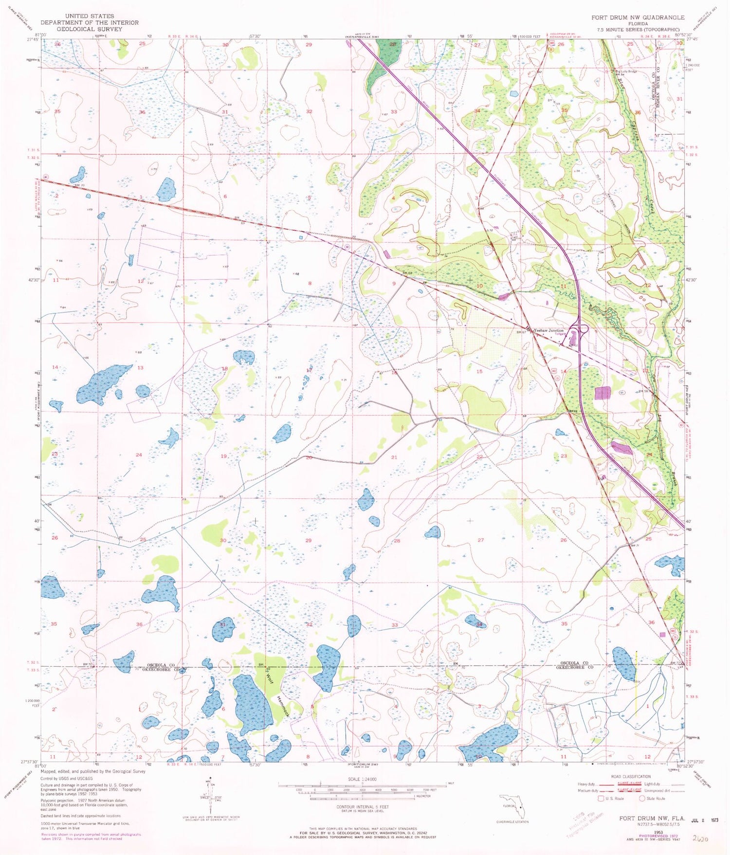
Historical USGS topographic quad map of Fort Drum NW in the state of Florida. Map scale may vary for some years, but is generally around 1:24,000. Print size is approximately 24" x 27"
This quadrangle is in the following counties: Indian River, Okeechobee, Osceola.
The map contains contour lines, roads, rivers, towns, and lakes. Printed on high-quality waterproof paper with UV fade-resistant inks, and shipped rolled.
Contains the following named places: Big Lolly Bridge, Everglades Headwaters National Wildlife Refuge and Conservation Area, Wolf Hammock, Yeehaw Junction, Yeehaw Junction Census Designated Place, Yeehaw Junction Volunteer Fire Department


