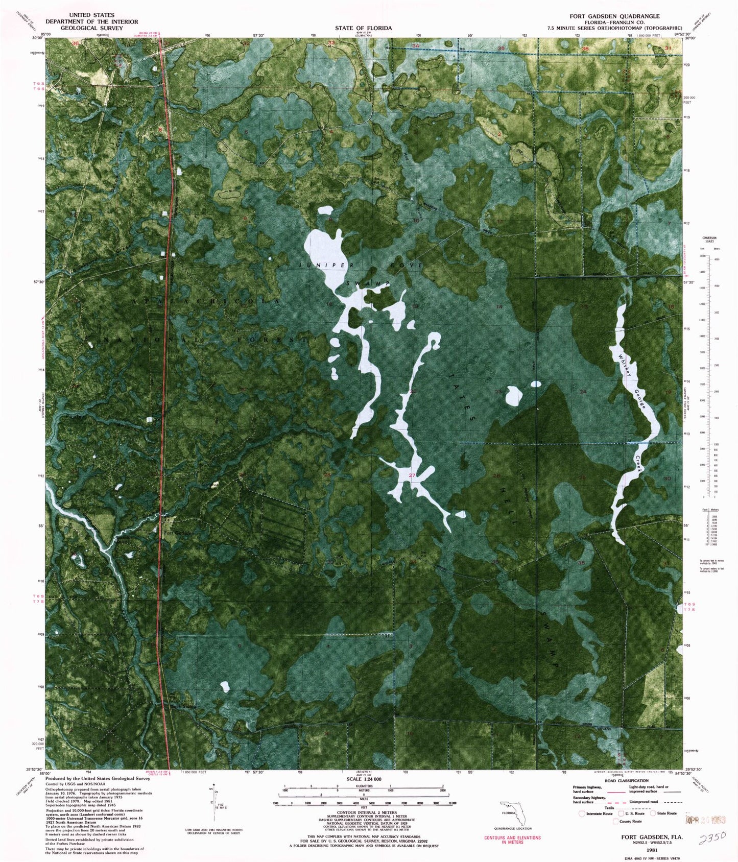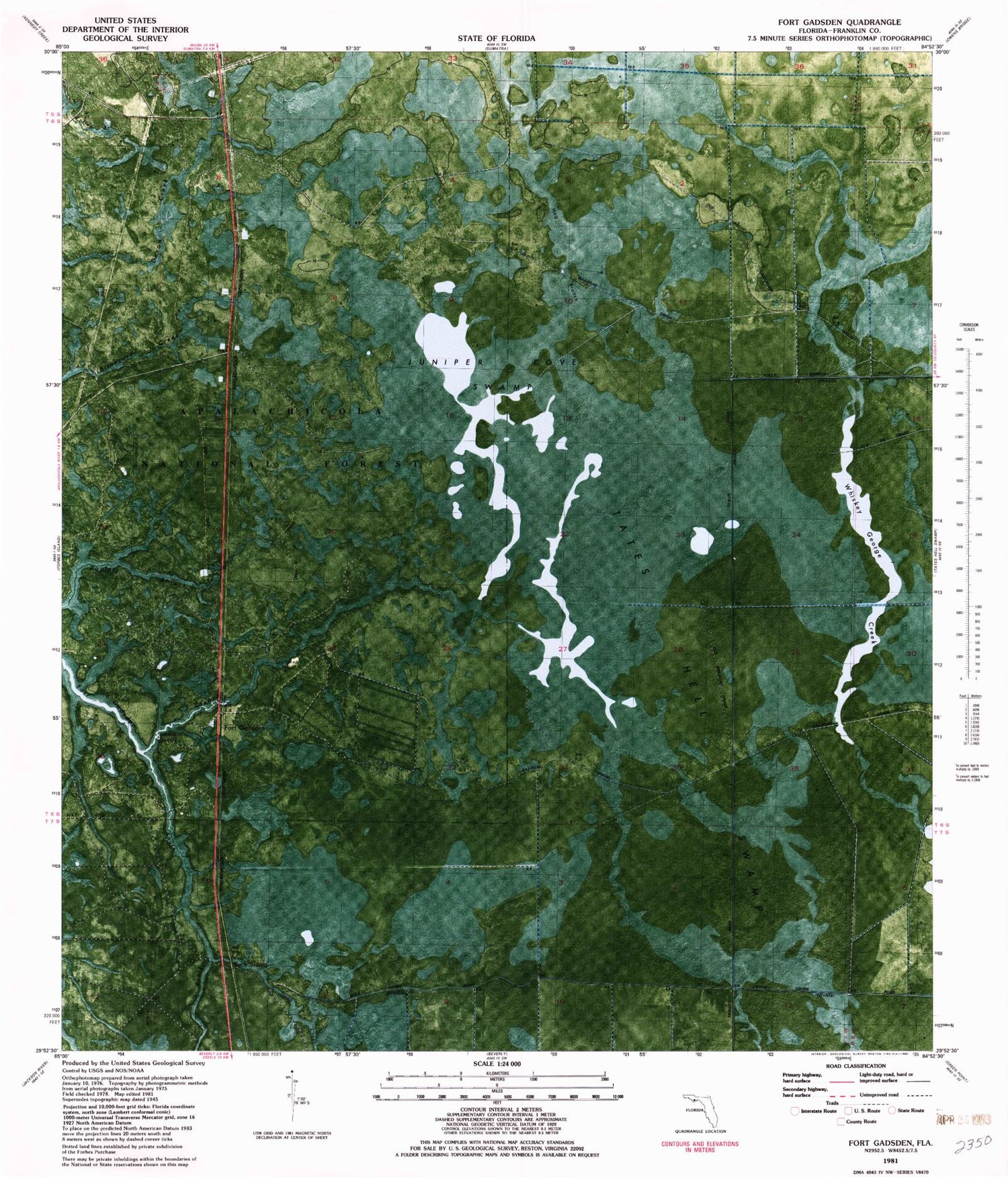

MyTopo
Classic USGS Fort Gadsden Florida 7.5'x7.5' Topo Map
Regular price
$16.95
Regular price
Sale price
$16.95
Unit price
per
Couldn't load pickup availability
Historical USGS topographic quad map of Fort Gadsden in the state of Florida. Map scale may vary for some years, but is generally around 1:24,000. Print size is approximately 24" x 27"
This quadrangle is in the following counties: Franklin.
The map contains contour lines, roads, rivers, towns, and lakes. Printed on high-quality waterproof paper with UV fade-resistant inks, and shipped rolled.
Contains the following named places: Big Slough Branch, Buck Siding, Coffee Branch, Deep Creek, Evans Lake, Fort Gadsden, Fort Gadsden Bridge, Missouri Landing, Padget Camp, South Prong Fort Godsden Creek, Van Horn Bay, Walker Camp