MyTopo
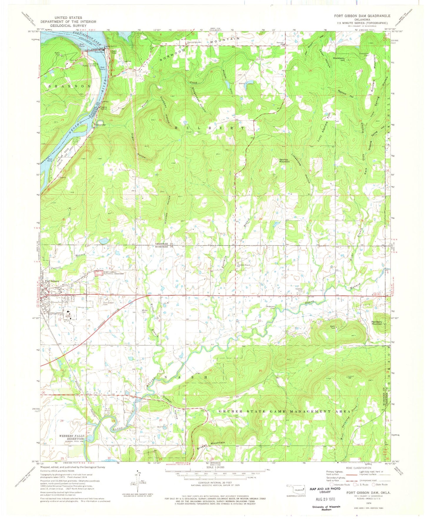
Classic USGS Fort Gibson Dam Oklahoma 7.5'x7.5' Topo Map
Couldn't load pickup availability
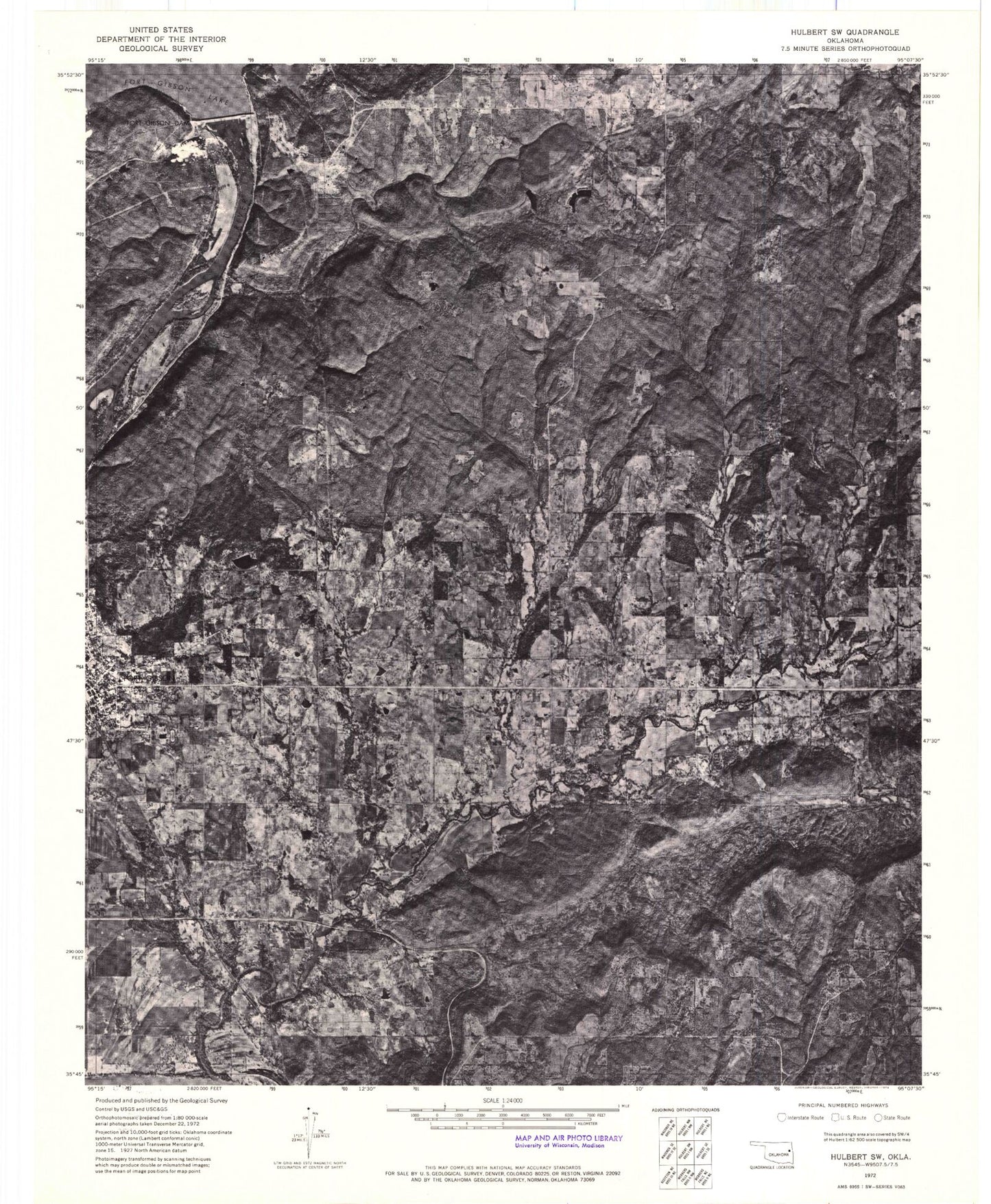
Historical USGS topographic quad map of Fort Gibson Dam in the state of Oklahoma. Map scale may vary for some years, but is generally around 1:24,000. Print size is approximately 24" x 27"
This quadrangle is in the following counties: Cherokee, Muskogee, Wagoner.
The map contains contour lines, roads, rivers, towns, and lakes. Printed on high-quality waterproof paper with UV fade-resistant inks, and shipped rolled.
Contains the following named places: Anderson Cemetery, Andersons Cemetery, Blackberry Hill, Boughtman Hollow, Braggs Mountain, Buzzard Hollow, Canyon Road Public Use Area, Cedar Hollow, Dam Site Public Use Area, Deadman Hollow, Dripping Spring Hollow, Flower Creek, Fort Gibson Citizen's Cemetery, Fort Gibson Dam, Fort Gibson Early Learning Center, Fort Gibson High School, Fort Gibson Intermediate Elementary School, Fort Gibson Lake, Fort Gibson Middle School, Fort Gibson National Cemetery, Four Mile Cemetery, Fourmile Branch, Fourmile Branch Church, Fourteenmile Creek, Hicks Branch, Iron Spring Hollow, Kale Dick Hollow, Limestone Hollow, Lucy Albirdie Flat, McGee Hollow, Norwood, Norwood Census Designated Place, Norwood Elementary School, Norwood Fire Department Station 1, Norwood Lakeview Church, Runnels Mountain, Sleeper Hollow, Spurlop Mountain, Starnes Cemetery, Sugar Hollow, Township of Nash, Walker Branch, Walker Cemetery, Whiskey Hollow, ZIP Code: 74434


