MyTopo
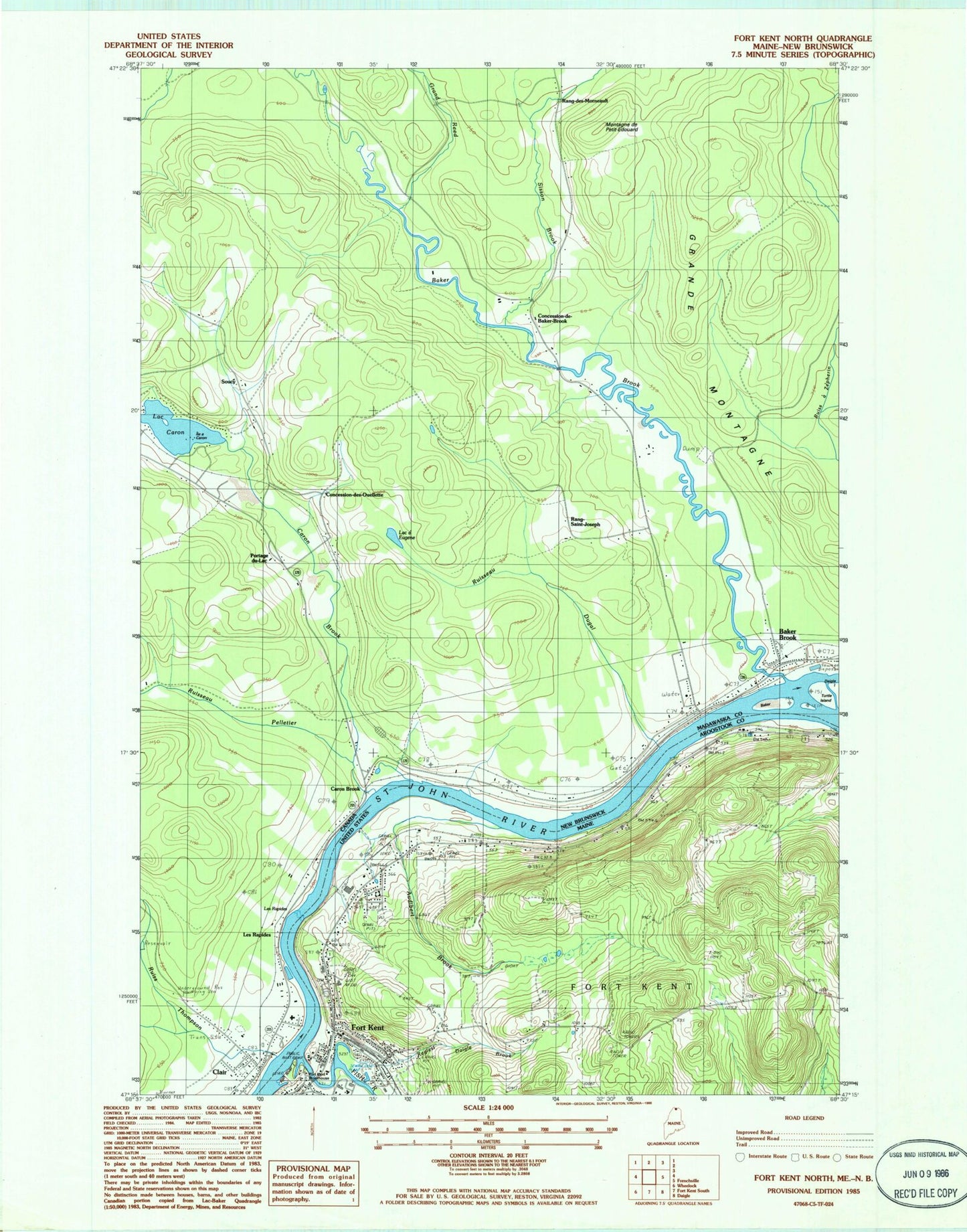
Classic USGS Fort Kent North Maine 7.5'x7.5' Topo Map
Couldn't load pickup availability
Historical USGS topographic quad map of Fort Kent North in the state of Maine. Map scale may vary for some years, but is generally around 1:24,000. Print size is approximately 24" x 27"
This quadrangle is in the following counties: Aroostook.
The map contains contour lines, roads, rivers, towns, and lakes. Printed on high-quality waterproof paper with UV fade-resistant inks, and shipped rolled.
Contains the following named places: Ambulance Service, Assembly of God Church, Audibert Brook, Blainer School, Fish River, Fish River Island, Fort Kent, Fort Kent Blockhouse, Fort Kent Census Designated Place, Fort Kent Fire Department, Fort Kent Historical Society Gardens, Fort Kent Historical Society Museum, Fort Kent Public Library, Fort Kent Railroad Station, Fort Kent Shopping Center, Hillside School, Northern Maine Medical Center, Old Saint Louis Catholic Cemetery, Regiest Daigle Brook, Roosevelt School, Saint Louis Cemetery, Saint Louis Parish Church, University of Maine Fort Kent, University of Maine Fort Kent Blake Library, WMEF-FM (Fort Kent)