MyTopo
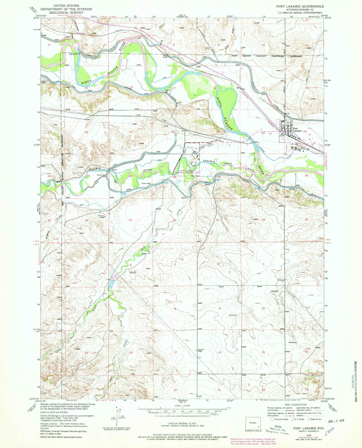
Classic USGS Fort Laramie Wyoming 7.5'x7.5' Topo Map
Couldn't load pickup availability
Historical USGS topographic quad map of Fort Laramie in the state of Wyoming. Map scale may vary for some years, but is generally around 1:24,000. Print size is approximately 24" x 27"
This quadrangle is in the following counties: Goshen.
The map contains contour lines, roads, rivers, towns, and lakes. Printed on high-quality waterproof paper with UV fade-resistant inks, and shipped rolled.
Contains the following named places: Cottonwood Draw, Deer Creek, Detention Case Bier 1 Dam, Detention Pine Ridge 1 Dam, Fort Laramie, Fort Laramie Cemetery, Fort Laramie Middle School, Fort Laramie National Historic Site, Fort Laramie National Historic Site Fire Brigade, Fort Laramie Post Office, Goshen County Fire District 12E - Fort Laramie Volunteer Fire Department, Gross Reservoir, Laramie River, Little Deer Creek, Mary Homsley Burial Site, Molly Fork, Pine Ridge Creek, Sand Draw, Sandercock Dam, Sandercock Number 3 Dam, Sandercock Reservoir, Sixmile Creek, Town of Fort Laramie