MyTopo
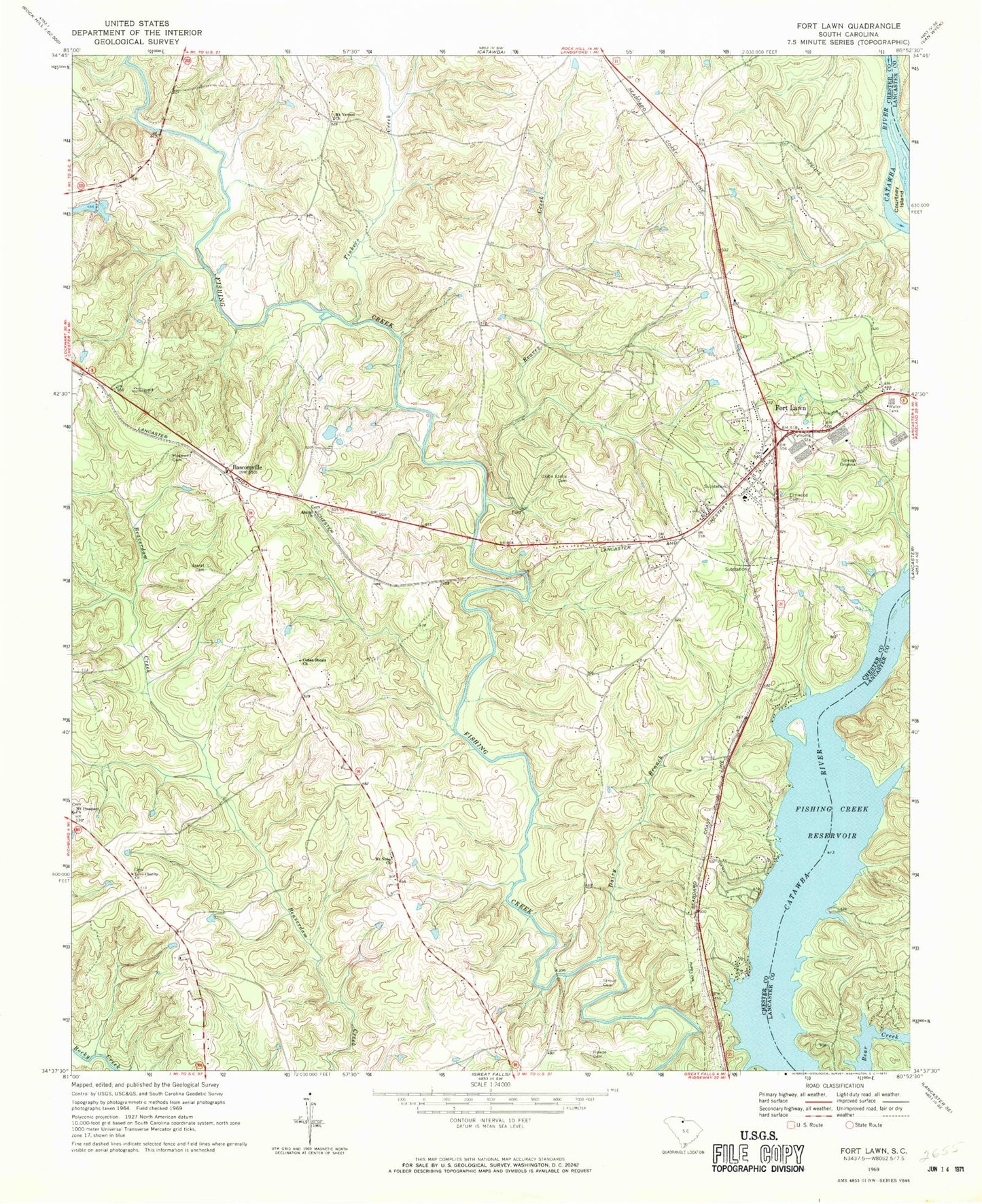
Classic USGS Fort Lawn South Carolina 7.5'x7.5' Topo Map
Couldn't load pickup availability
Historical USGS topographic quad map of Fort Lawn in the state of South Carolina. Typical map scale is 1:24,000, but may vary for certain years, if available. Print size: 24" x 27"
This quadrangle is in the following counties: Chester, Lancaster.
The map contains contour lines, roads, rivers, towns, and lakes. Printed on high-quality waterproof paper with UV fade-resistant inks, and shipped rolled.
Contains the following named places: Ararat Cemetery, Ararat Church, Bascomville, Dairy Branch, Elmwood Cemetery, Fort Lawn, Hopewell Cemetery, Howze Cemetery, Mount Vernon Church, Stroud Cemetery, Tinkers Creek, Union Ezella Cemetery, Ararat School (historical), Blakles Caldwells and Strouds Cemetery, Fort Lawn Elementary School, Fudges (historical), Lake View, McDonalds Ford (historical), Nero School (historical), Taylors Island (historical), Zion Church (historical), Shepherds Pond D-1437 Dam, Rocky Creek WCD Dam Number One D-0212, McDonalds Ferry (historical), Love-Charity Church, Cedar Shoals Church, Courtney Island, Mount Nebo Church, Mount Prospect Church, Reaves Creek, Fort Lawn Post Office, Town of Fort Lawn, Fort Lawn Fire Department Station 2, Rossville Fire Department Station 2, Fort Lawn Police Department


