MyTopo
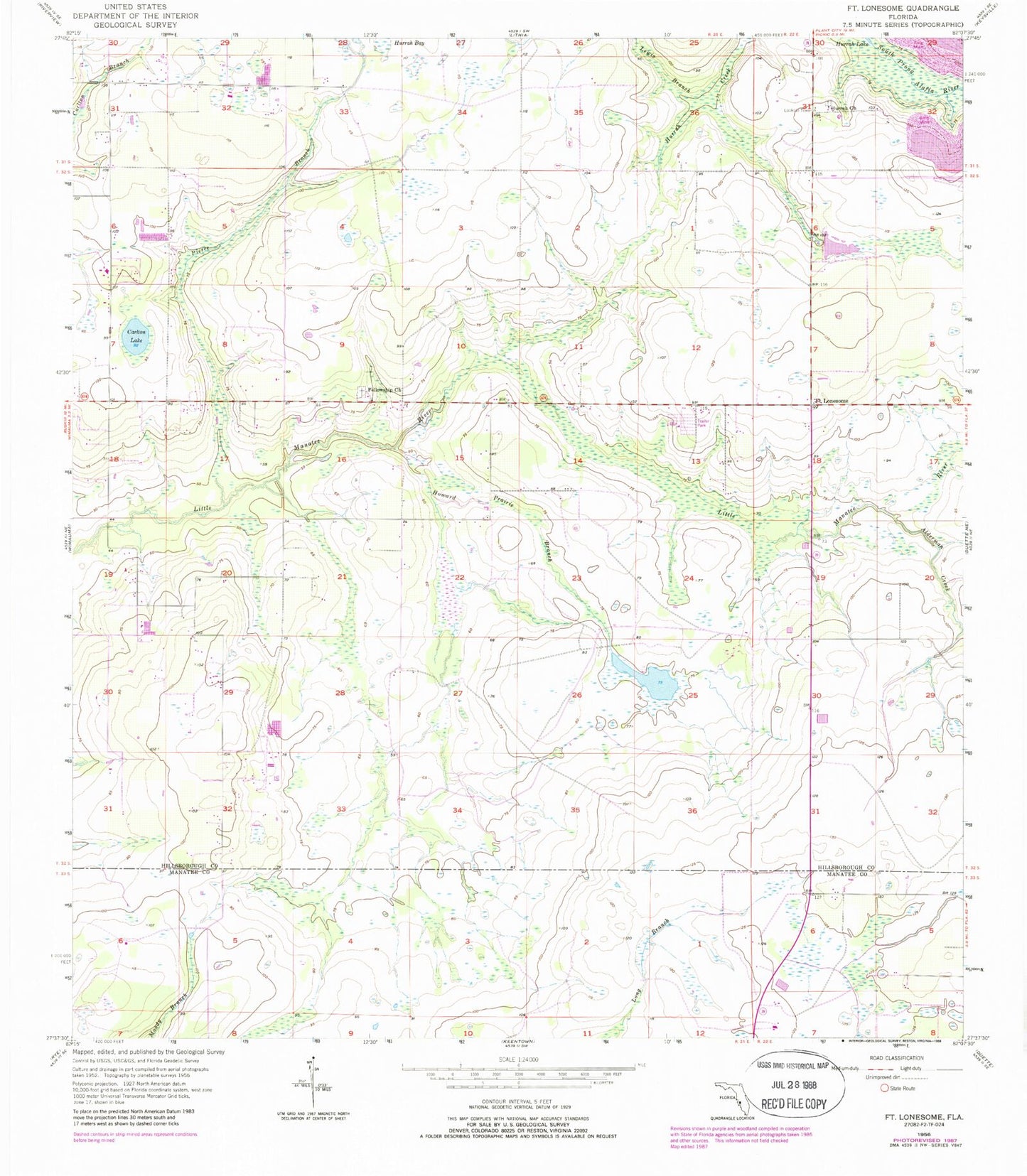
Classic USGS Fort Lonesome Florida 7.5'x7.5' Topo Map
Couldn't load pickup availability
Historical USGS topographic quad map of Fort Lonesome in the state of Florida. Map scale may vary for some years, but is generally around 1:24,000. Print size is approximately 24" x 27"
This quadrangle is in the following counties: Hillsborough, Manatee.
The map contains contour lines, roads, rivers, towns, and lakes. Printed on high-quality waterproof paper with UV fade-resistant inks, and shipped rolled.
Contains the following named places: Alderman Creek, Alderman-Carlton Ranchettes, Carlton Lake, Carter Country, Clark Farms, Fellowship Church, Fort Lonesome, Gyro Town USA Airport, Hiscock Acres, Howard Prairie Branch, Hurrah Church, Hurrah Fire Tower, Lewis Branch, Lonesome Hollow, Pierce Branch, Seth Country Tracts, Summerfield Wimauma Estates, Tatom Estates, Watts Junction