
MyTopo
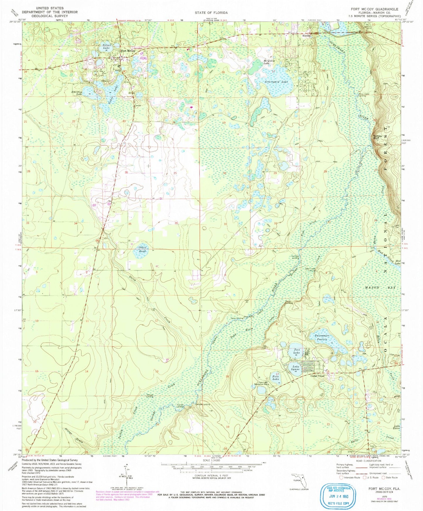
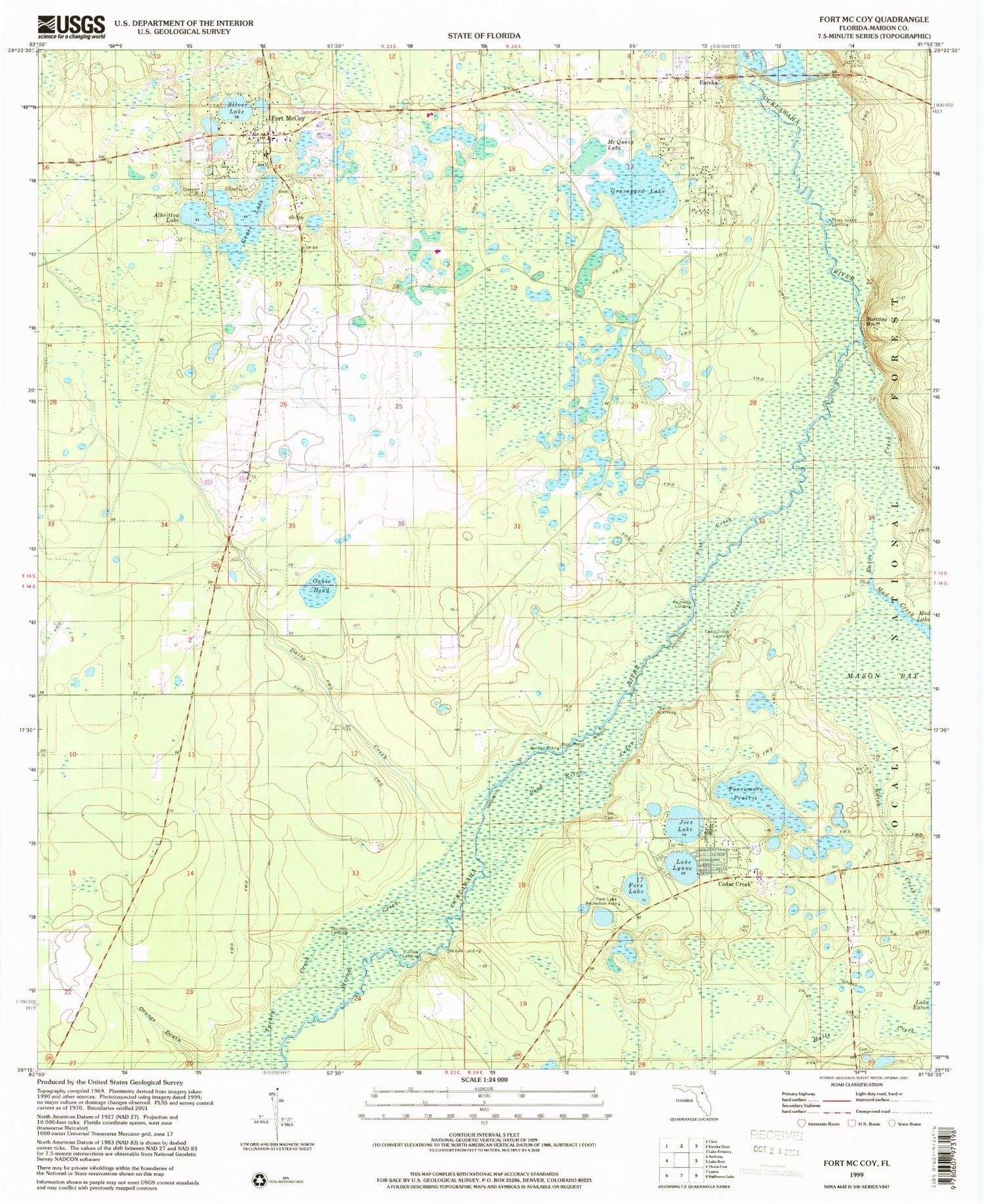
Classic USGS Fort McCoy Florida 7.5'x7.5' Topo Map
Couldn't load pickup availability
Historical USGS topographic quad map of Fort McCoy in the state of Florida. Typical map scale is 1:24,000, but may vary for certain years, if available. Print size: 24" x 27"
This quadrangle is in the following counties: Marion.
The map contains contour lines, roads, rivers, towns, and lakes. Printed on high-quality waterproof paper with UV fade-resistant inks, and shipped rolled.
Contains the following named places: Albritton Lake, Cedar Creek, Cedar Creek, Cedar Creek Landing, Daisy Creek, Dead River, Durisoe Landing, Eaton Creek, Eureka, Fish Creek, Fore Lake, Fore Lake Recreation Area, Fort McCoy, Gores Landing, Grass Lake, Graveyard Lake, Joes Lake, Lake Lynne, McQuaig Lake, Mud Creek, Oakie Head, Osceola Landing, Palmetto Landing, Parch Landing, Parramore Prairie, Piney Island Landing, Silver Lake, Strouds Creek, Strouds Landing, Sunday Bluff, Turkey Creek, Fort McCoy Elementary School, Cedar Creek Baptist Church, First Baptist Church of Fort McCoy, Fore Lake Organizational Camp, Pleasant Grove Missionary Baptist Church - Building 2, Pleasant Grove Missionary Baptist Church - Building 1, Fort McCoy Cemetery, Fort McCoy Negro Cemetery, First Baptist Church of Fort McCoy, Fort McCoy Post Office, Cougar Park, Fort McCoy Public Library, Fort McCoy United Methodist Church, Marion County Fire Rescue Fort McCoy Station 7, Eureka Cemetery, Gore's Landing Park