MyTopo
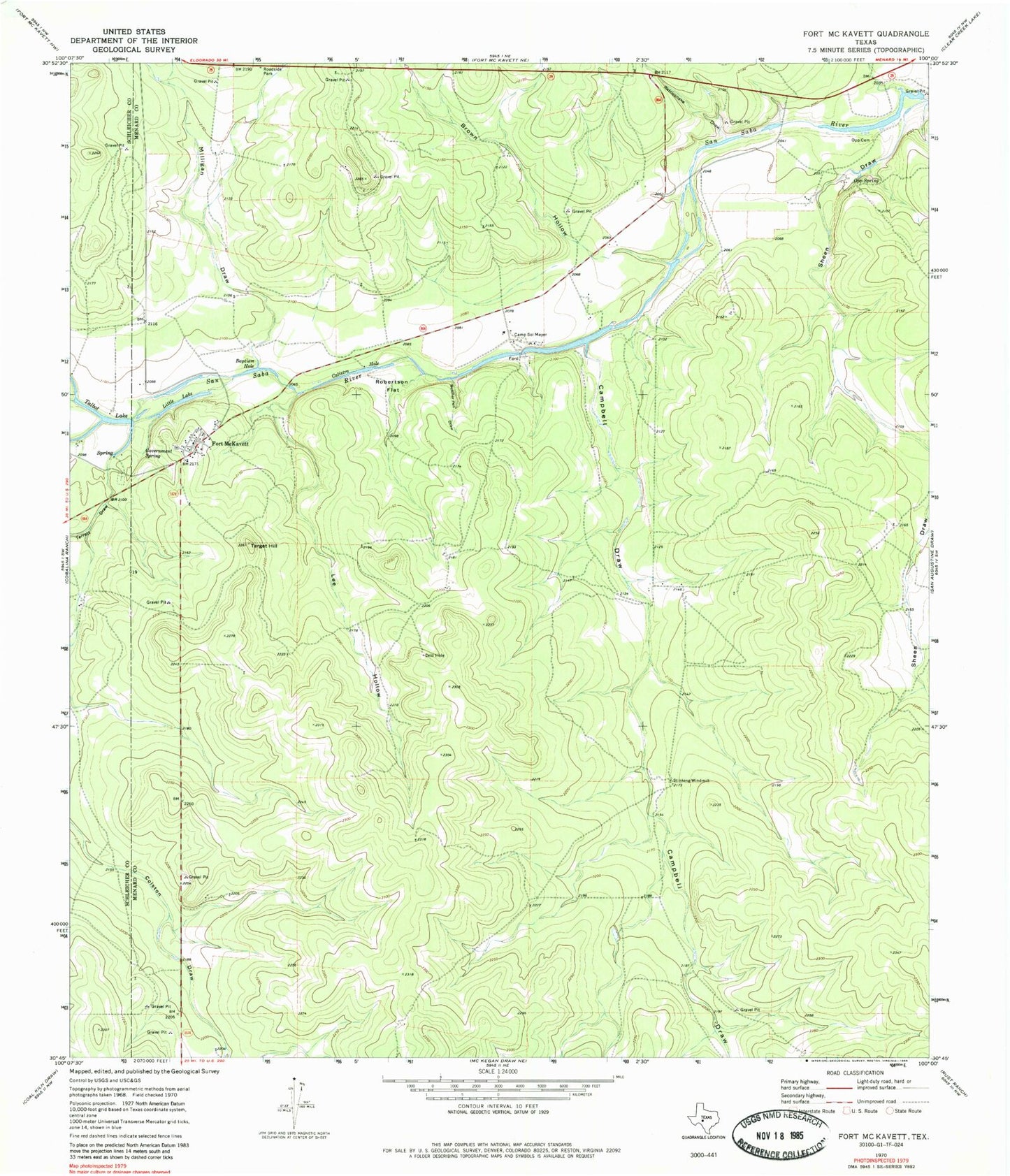
Classic USGS Fort McKavett Texas 7.5'x7.5' Topo Map
Couldn't load pickup availability
Historical USGS topographic quad map of Fort McKavett in the state of Texas. Map scale may vary for some years, but is generally around 1:24,000. Print size is approximately 24" x 27"
This quadrangle is in the following counties: Menard, Schleicher.
The map contains contour lines, roads, rivers, towns, and lakes. Printed on high-quality waterproof paper with UV fade-resistant inks, and shipped rolled.
Contains the following named places: Baptism Hole, Brown Hollow, Butcher Pen Draw, Calistro Hole, Camp Sol Mayer, Campbell Draw, Fort McKavett, Fort McKavett Cemetery, Fort McKavett Post Office, Fort McKavett State Historical Park, Government Spring, Government Springs, Herd Ranch Airport, Lee Hollow, Little Lake, Middle Valley Prong, Milligan Draw, North Valley, North Valley Prong, Opp - Bihl Cemetery, Opp Spring, Rattlesnake Draw, Robertson Flat, Sheen Draw, Stinking Windmill, Talbot Lake, Target Hill, Terrett Draw


