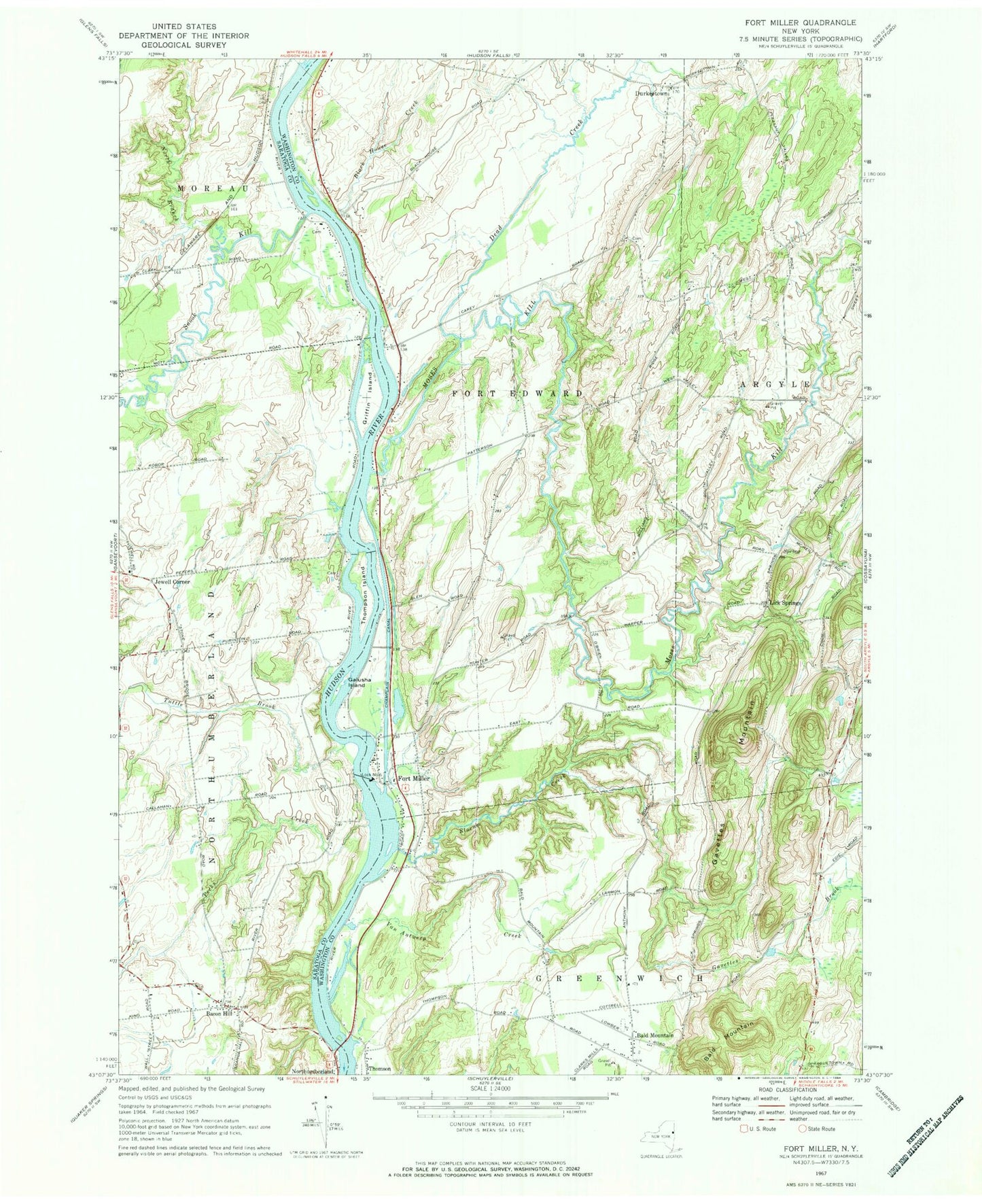
MyTopo
Classic USGS Fort Miller New York 7.5'x7.5' Topo Map
Couldn't load pickup availability
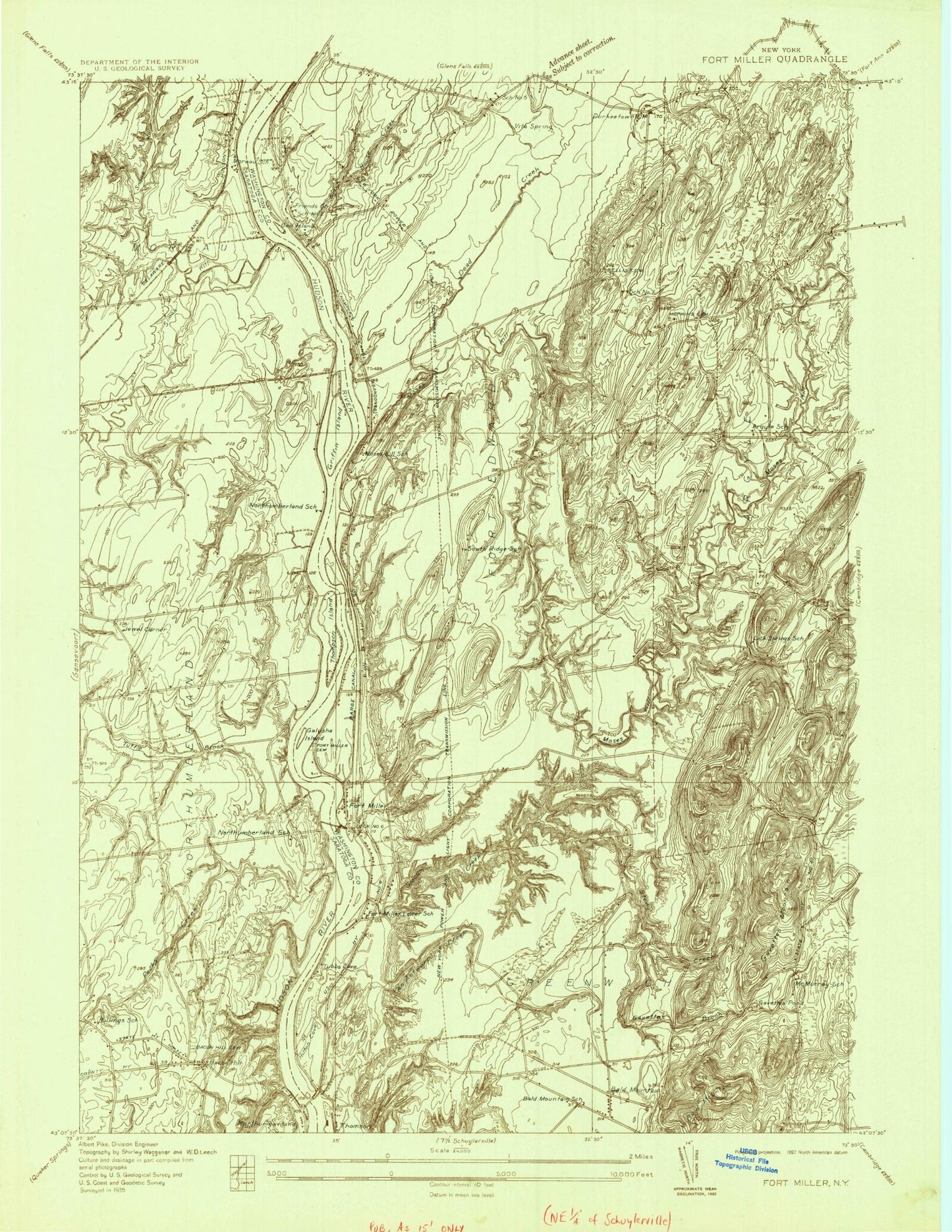
Historical USGS topographic quad map of Fort Miller in the state of New York. Map scale may vary for some years, but is generally around 1:24,000. Print size is approximately 24" x 27"
This quadrangle is in the following counties: Saratoga, Washington.
The map contains contour lines, roads, rivers, towns, and lakes. Printed on high-quality waterproof paper with UV fade-resistant inks, and shipped rolled.
Contains the following named places: August Field, Bacon Hill, Bacon Hill Cemetery, Bald Mountain, Barber Brothers Dairy, Black House Creek, Black Orchid Stables, Clear Echo Farm, Dead Creek, Durkeetown, Durkeetown Baptist Church, Fort Miller, Fort Miller Road Bridge, Foster Farm, Galusha Island, Gavettes Brook, Gavettes Mountain, Griffin Island, Half-A-Chance Farm, Jewell Corner, Lick Springs, Lock Number 6, M And A Farm, Moses Creek Farm, Moses Kill, North Branch Snook Kill, North River Road Bridge, Northumberland, Papp Airpark, Pecks Creek, Pine Meadow Farm, Pleasant Valley Farm, Purintondale Farm, Slocum Creek, Snook Kill, Stonebridge Farm, Thomas Poultry Farm of Schuylerville, Thompson Cemetery, Thompson Island, Thomson, Town of Fort Edward, Tuttle Brook, Van Antwerp Creek, Welcome Stock Farm