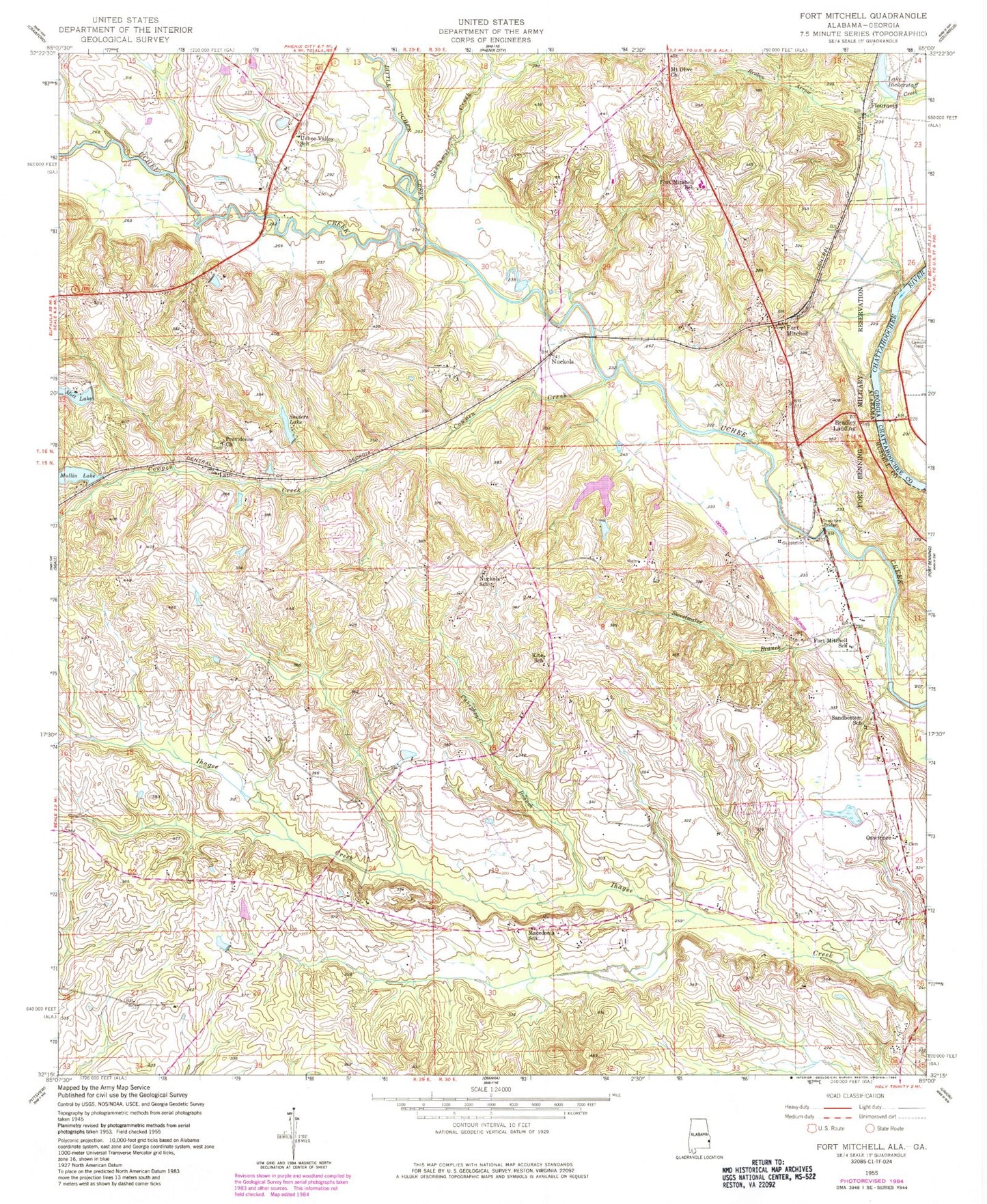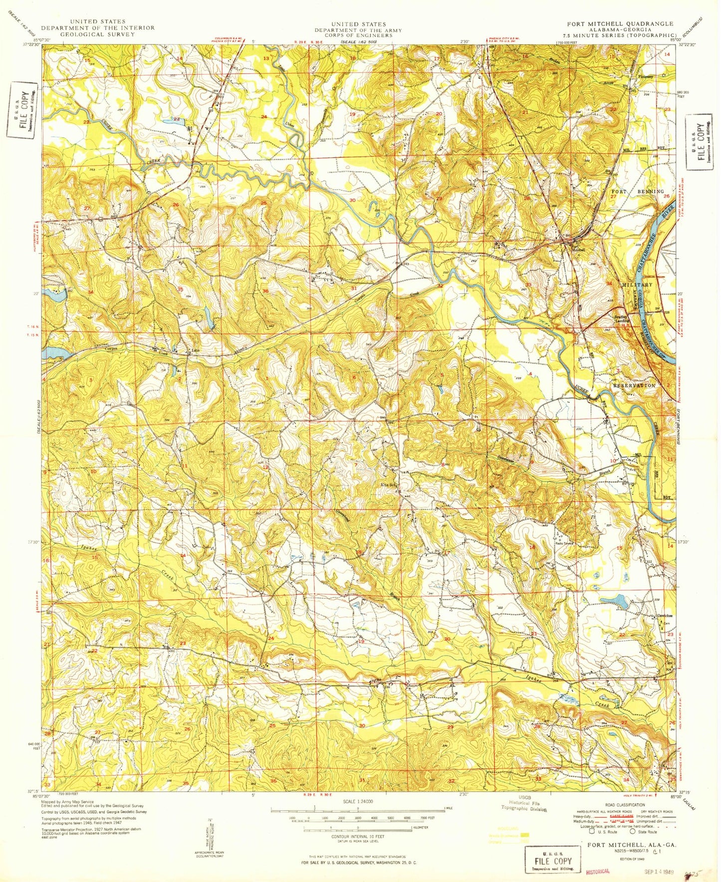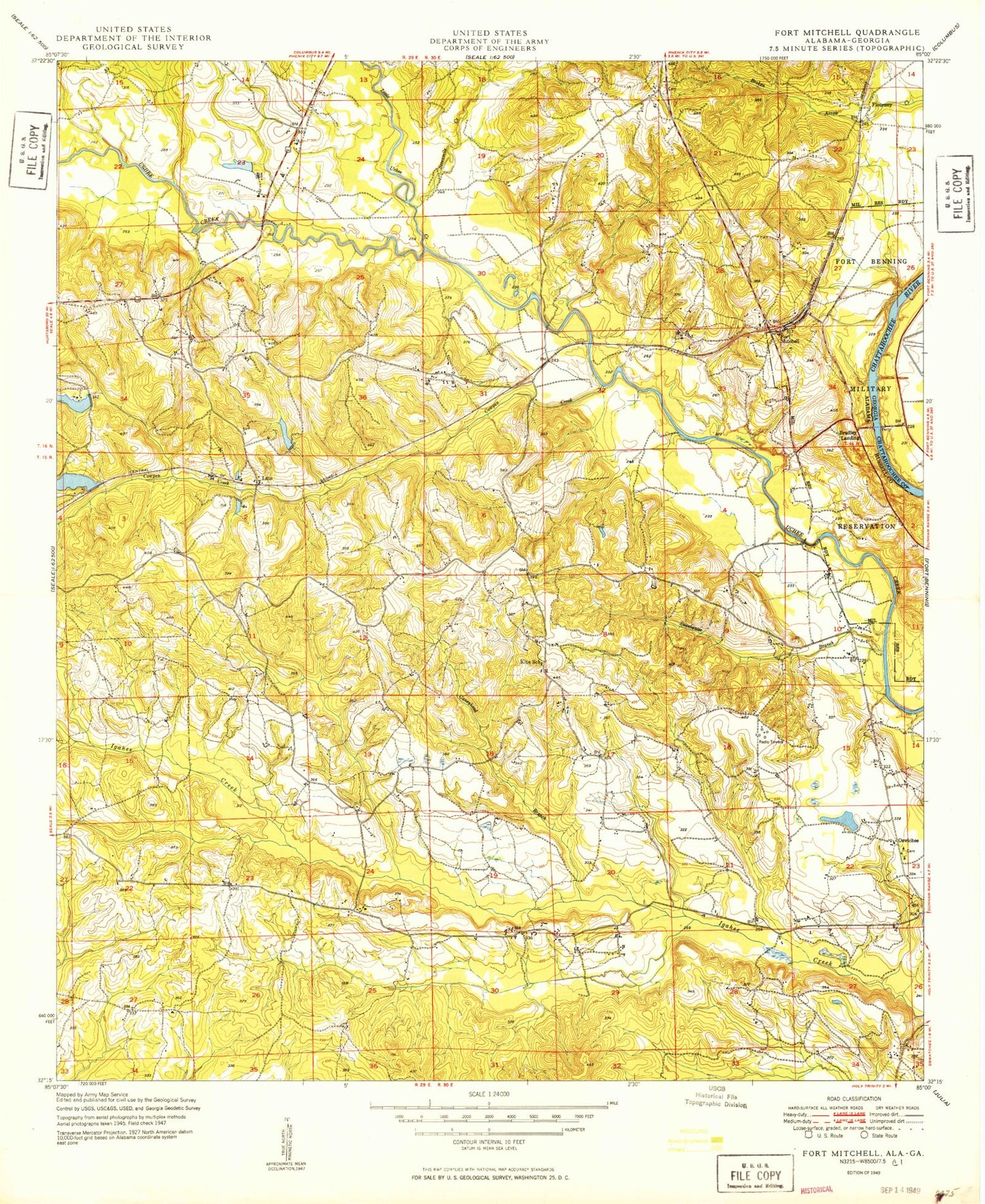
MyTopo
Classic USGS Fort Mitchell Alabama 7.5'x7.5' Topo Map
Couldn't load pickup availability
Historical USGS topographic quad map of Fort Mitchell in the state of Alabama. Map scale may vary for some years, but is generally around 1:24,000. Print size is approximately 24" x 27"
This quadrangle is in the following counties: Chattahoochee, Russell.
The map contains contour lines, roads, rivers, towns, and lakes. Printed on high-quality waterproof paper with UV fade-resistant inks, and shipped rolled.
Contains the following named places: Alexandria Methodist Church, Avalon Church, Bradley Landing, Bradleys Pond, Caneyhead Branch, Cowpen Creek, Eddy Bridge, Flournoys, Fort Mitchell, Fort Mitchell Elementary School, Fort Mitchell National Cemetery, Fort Mitchell Post Office, Fort Mitchell Site, Fort Mitchell Volunteer Fire Department, Hog Island, Johnsons Mill, Kite School, Lato, Little Uchee Creek, Macedonia Church, Macedonia School, Mott Lake, Mount Olive Baptist Church, Mount Olive High School, Mullin Lake, Mullin Lake Dam, My Fathers House Church, New Jerusalem Church, Nuckols, Nuckols Bridge, Nuckols School, Oswichee, Oswichee Baptist Church, Oswichee Bridge, Oswichee Cemetery, Perrys Ford, Phenix City Division, Pleasant Grove Church, Providence Baptist Church, Saint Johns Church, Sandbottom School, Sevenmile Creek, Sniders Lake, Snyder Pond Dam, Sweetwater Branch, Uchee Shoals Post Office, Uchee Valley School, Youngs Bridge, Youngs Store, Yuchi Lake Dam, Yuchi Pines Chapel