MyTopo
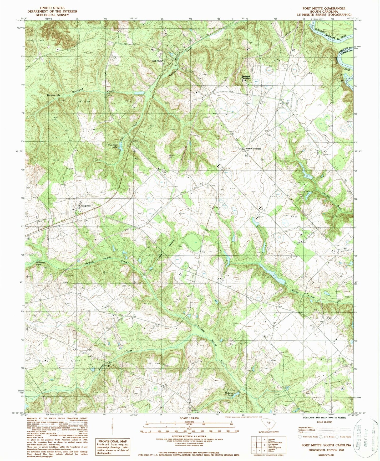
Classic USGS Fort Motte South Carolina 7.5'x7.5' Topo Map
Couldn't load pickup availability
Historical USGS topographic quad map of Fort Motte in the state of South Carolina. Map scale may vary for some years, but is generally around 1:24,000. Print size is approximately 24" x 27"
This quadrangle is in the following counties: Calhoun, Richland, Sumter.
The map contains contour lines, roads, rivers, towns, and lakes. Printed on high-quality waterproof paper with UV fade-resistant inks, and shipped rolled.
Contains the following named places: Amaker School, Antley Spring Branch, Bethel Church, F M Wannamaker Pond, Fort Motte, Fort Motte Fire Department, Fort Motte School, Fort Motte-Lone Star Division, Furlick Branch, Holman Pond, J L Wannamaker Cabin Pond, Jerusalem Baptist Church, Langsyne Plantation, Langsyne School, Lyons Creek, Millwood Pond, Mitchell School, Mizpah Church, Mount Pisgah Church, Mount Pleasant Church, Mount Salem Church, Mount Salem School, Red Church, Reid House Pond, Reid House Pond Dam D-2655, Reid Pond, Saint Luke Church, Saint Lukes School, Saint Matthews City Sewage Dam D-2919, Saint Paul Church, Saint Stephens Church, Sam Reid Pond Dam D-2658, Saw Dust Landing, Shay Hane Cabin Pond, Shehane Cabin Pond Dam D-2659, Singleton, South Carolina Noname 09023 D-2637 Dam, South Carolina Noname 09024 D-2639 Dam, South Carolina Noname 09039 D-2654 Dam, South Carolina Noname 09044 D-2665 Dam, Spigner Pond, St Mathews Airport, Sykes Pond Dam D-2636, True Blue Creek, True Blue Lake, Wienges Lake, Wiles Crossroads, Wiles Pond, Wiles Pond Dam D-2660