MyTopo
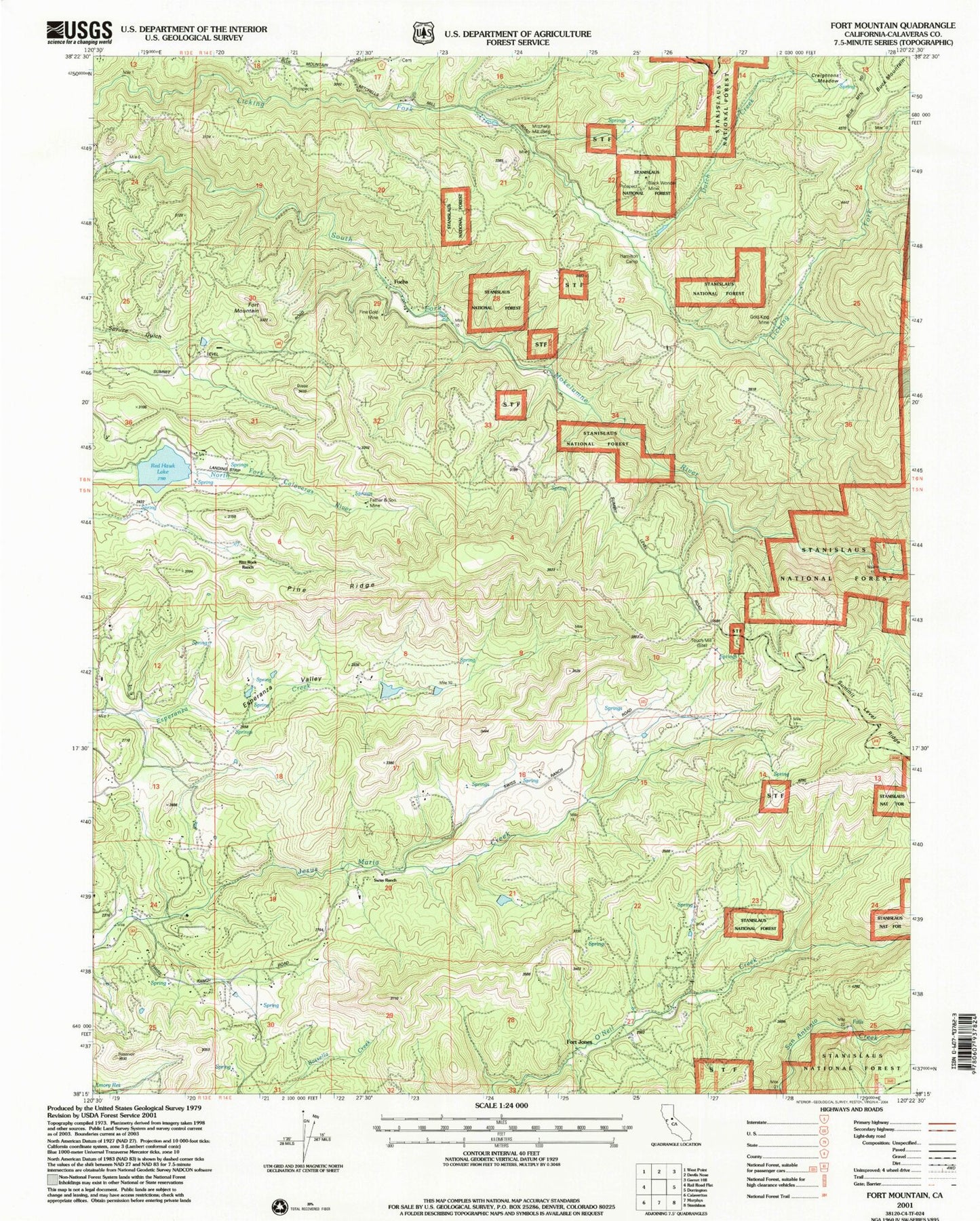
Classic USGS Fort Mountain California 7.5'x7.5' Topo Map
Couldn't load pickup availability
Historical USGS topographic quad map of Fort Mountain in the state of California. Map scale may vary for some years, but is generally around 1:24,000. Print size is approximately 24" x 27"
This quadrangle is in the following counties: Calaveras.
The map contains contour lines, roads, rivers, towns, and lakes. Printed on high-quality waterproof paper with UV fade-resistant inks, and shipped rolled.
Contains the following named places: Bingham 82 Dam, Black Wonder Mine, Central Calaveras Fire and Rescue Protection District Station 2, Creightons Meadow, Dutch Creek, Eagle Ridge Ranch Airport, Esperanza Valley, Father and Son Mine, Fine Gold Mine, Fort Jones, Fort Mountain, Fuchs, Gold King Mine, Hackerdam Mine, Hams, Kaye Creek, Mitchells Mill, Pine Ridge, Redhawk Lake, Reid 1492 Dam, Rim Rock Ranch, Sandoz, Swiss Ranch, Toutch Mill, ZIP Code: 95248


