MyTopo
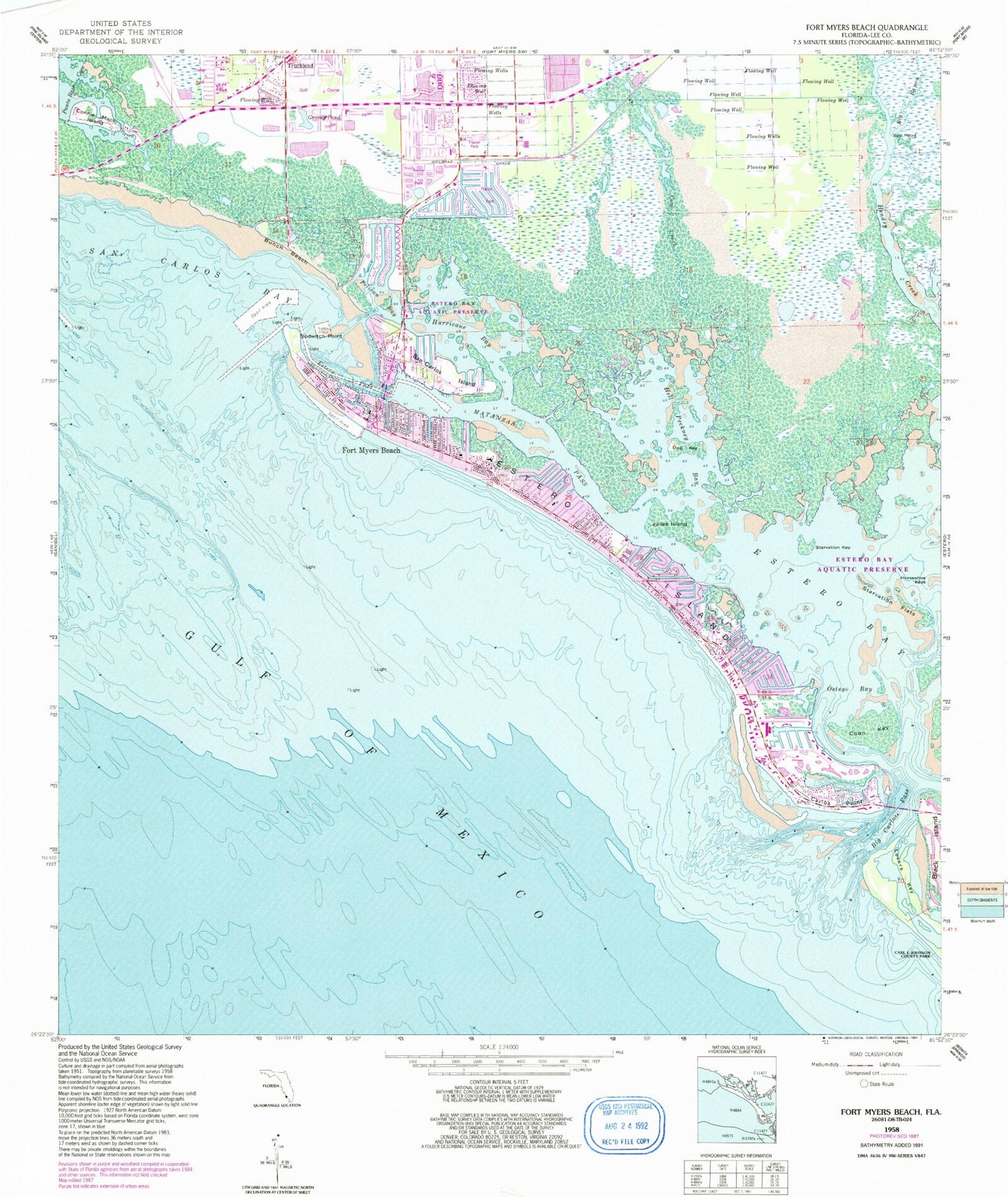
Classic USGS Fort Myers Beach Florida 7.5'x7.5' Topo Map
Couldn't load pickup availability
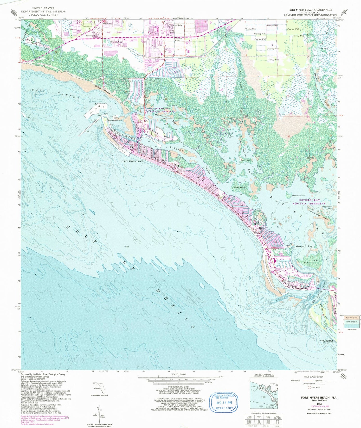
Historical USGS topographic quad map of Fort Myers Beach in the state of Florida. Map scale may vary for some years, but is generally around 1:24,000. Print size is approximately 24" x 27"
This quadrangle is in the following counties: Lee.
The map contains contour lines, roads, rivers, towns, and lakes. Printed on high-quality waterproof paper with UV fade-resistant inks, and shipped rolled.
Contains the following named places: Aspen Indian Creek Park, Big Bayou, Big Carlos Pass, Bodwitch Point, Box Point, Bunche Beach, Carlos Point, Coast Guard Station Fort Myers Beach, Connie Mack Island, Coon Key, Cow Creek, Dog Key, Estero Island, Estero Island Division, Estero Pass, Fairwinds Golf Course, Faith Baptist Church, Fort Myers Beach, Fort Myers Beach Cultural and Environmental Learning Center, Fort Myers Beach Elementary School, Fort Myers Beach Fire Department Control District Station 31, Fort Myers Beach Fire Department Control District Station 32, Fort Myers Beach Fire Department Control District Station 33, Fort Myers Beach Post Office, Fort Myers Beach Public Library, Grassy Pond, Hell Peckney Bay, Hurricane Bay, Indian Creek Park Mobile Home Park, Julies Island, Key Estero Island Shops, Lawhon Shopping Center, Lee County Sheriff's Office - Fort Myers Beach Patrol, Lovers Key, Lovers Key State Park, Matanzas Pass, Ostego Bay, Pavilion Shopping Center, Pelican Bay, Pine Ridge Helistop, Plaza Bonita Shopping Center, San Carlos Bay Light 1, San Carlos Island, Sand Castle Kindergarten, Starvation Flats, Starvation Key, Town of Fort Myers Beach, Truckland, Villa Santini Plaza, ZIP Code: 33931


