MyTopo
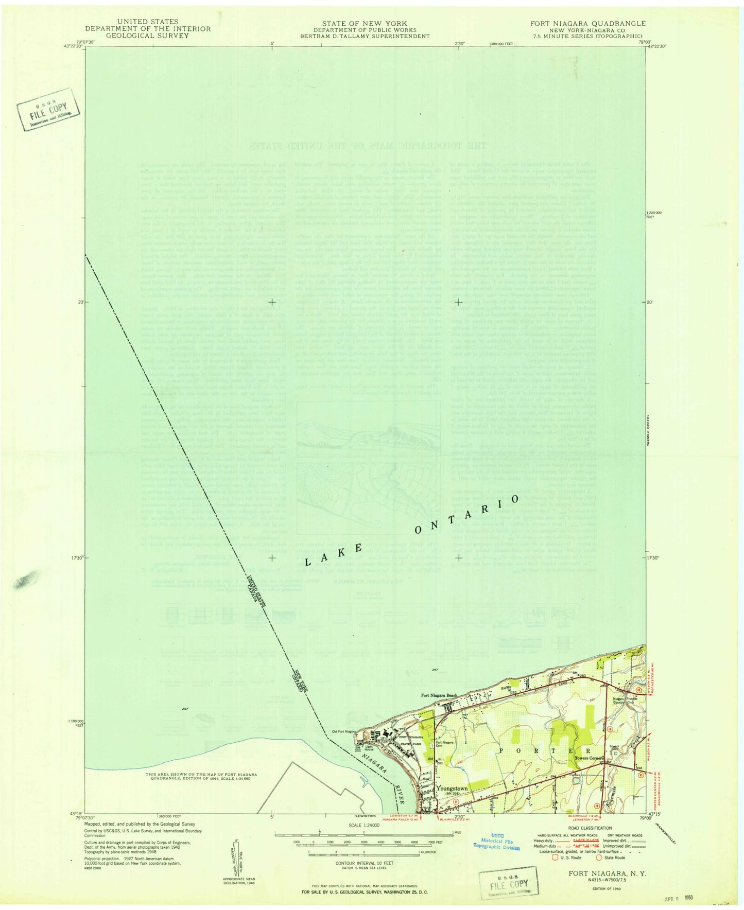
Classic USGS Fort Niagara New York 7.5'x7.5' Topo Map
Couldn't load pickup availability
Historical USGS topographic quad map of Fort Niagara in the state of New York. Map scale may vary for some years, but is generally around 1:24,000. Print size is approximately 24" x 27"
This quadrangle is in the following counties: Niagara.
The map contains contour lines, roads, rivers, towns, and lakes. Printed on high-quality waterproof paper with UV fade-resistant inks, and shipped rolled.
Contains the following named places: Falkner Park, Fort Niagara, Fort Niagara Beach, Fort Niagara Cemetery, Fort Niagara Post Cemetery, Fort Niagara State Park, Niagara Bar, Niagara Fan, Niagara River, Porter Town Hall, Rumsey Shoal, Saint John's Episcopal Church, Sanger Farms, Shippy Orchards, Towers Cemetery, Towers Corners, Youngstown Free Library, Youngstown Post Office, Youngstown Yacht Club