MyTopo
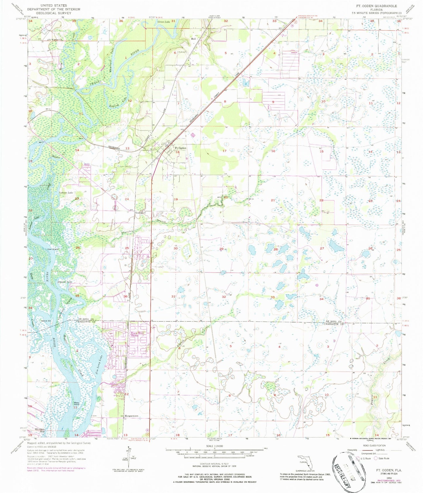
Classic USGS Fort Ogden Florida 7.5'x7.5' Topo Map
Couldn't load pickup availability
Historical USGS topographic quad map of Fort Ogden in the state of Florida. Map scale may vary for some years, but is generally around 1:24,000. Print size is approximately 24" x 27"
This quadrangle is in the following counties: Charlotte, DeSoto.
The map contains contour lines, roads, rivers, towns, and lakes. Printed on high-quality waterproof paper with UV fade-resistant inks, and shipped rolled.
Contains the following named places: Arrowhead Golf Club, Boggess Creek, Boggess Lake, Charlotte County Fire and Emergency Medical Services Station 16, Cow Island, Deep Creek, Desoto County Fire and Rescue Station 2, English Lake, Fort Ogden, Fort Ogden Cemetery, Fort Ogden Post Office, Fort Winder Church, Handcock Lake, Horse Creek, Hull, Hull Cemetery, Island Thirty-three, Jim Long Lake, Lee Branch, Lettuce Lake, Lettuce Lake Cutoff, Liverpool Island, Mary Point, Morgantown, Ogden Cemetery, Peace River Mobile Home Park, Peace River Shores, Southfort, Sunnybreeze Airport, Thornton Branch, WVIJ-FM (Port Charlotte)