MyTopo
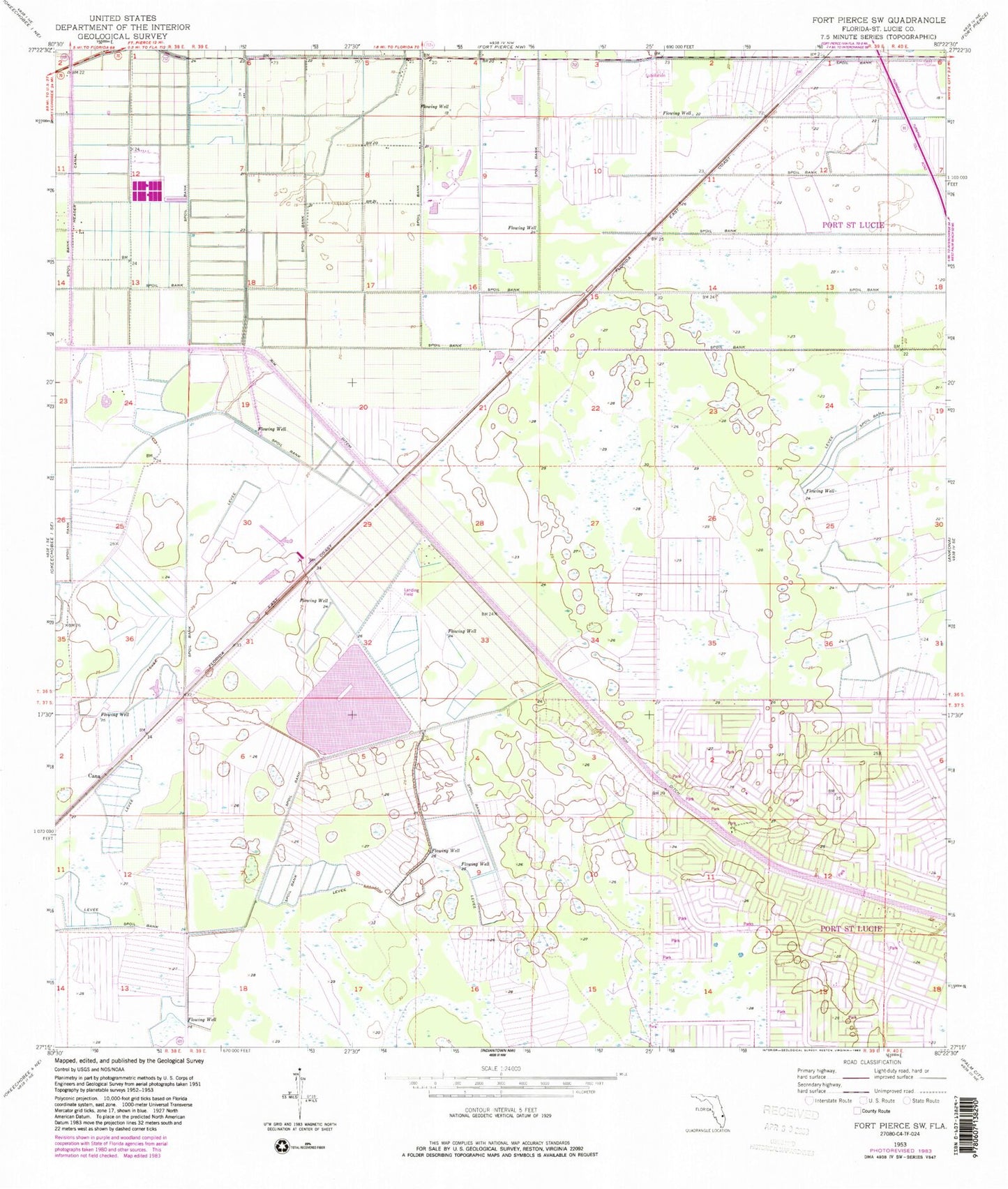
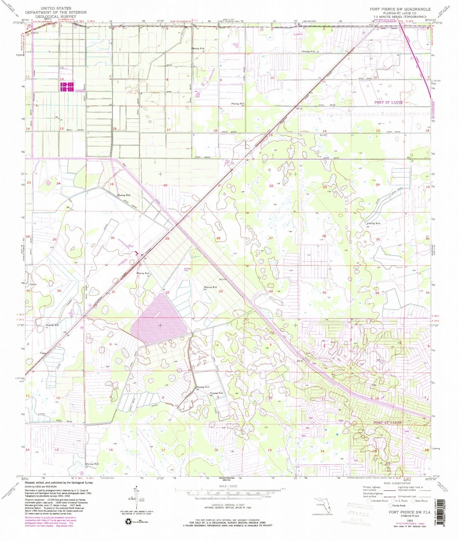
Classic USGS Fort Pierce SW Florida 7.5'x7.5' Topo Map
Couldn't load pickup availability
Historical USGS topographic quad map of Fort Pierce SW in the state of Florida. Map scale may vary for some years, but is generally around 1:24,000. Print size is approximately 24" x 27"
This quadrangle is in the following counties: St. Lucie.
The map contains contour lines, roads, rivers, towns, and lakes. Printed on high-quality waterproof paper with UV fade-resistant inks, and shipped rolled.
Contains the following named places: All Villages Presbyterian Church, Cana, Carlton, City of Port Saint Lucie, Del Rio Fellowship Church, Digital Domain Park, Diversion Canal, Episcopal Church of the Nativity, Faith Congregational Church, Header Canal, Indian River Community College, Indian River Community College Saint Lucie West Library, Port Saint Lucie Police Department Western Regional Office, Port Saint Lucie Post Office, Rim Ditch, Saint Bernadette Catholic Church, Saint Lucie County Fire District Station 14, Saint Lucie County Sheriff's Office Crime Prevention Unit, Spring Run Golf Club, Sunlight Community Church, Temple Beth El Israel, Treasure Coast Baptist Church, ZIP Codes: 34986, 34987