MyTopo
Classic USGS Fort Pillow Tennessee 7.5'x7.5' Topo Map
Couldn't load pickup availability
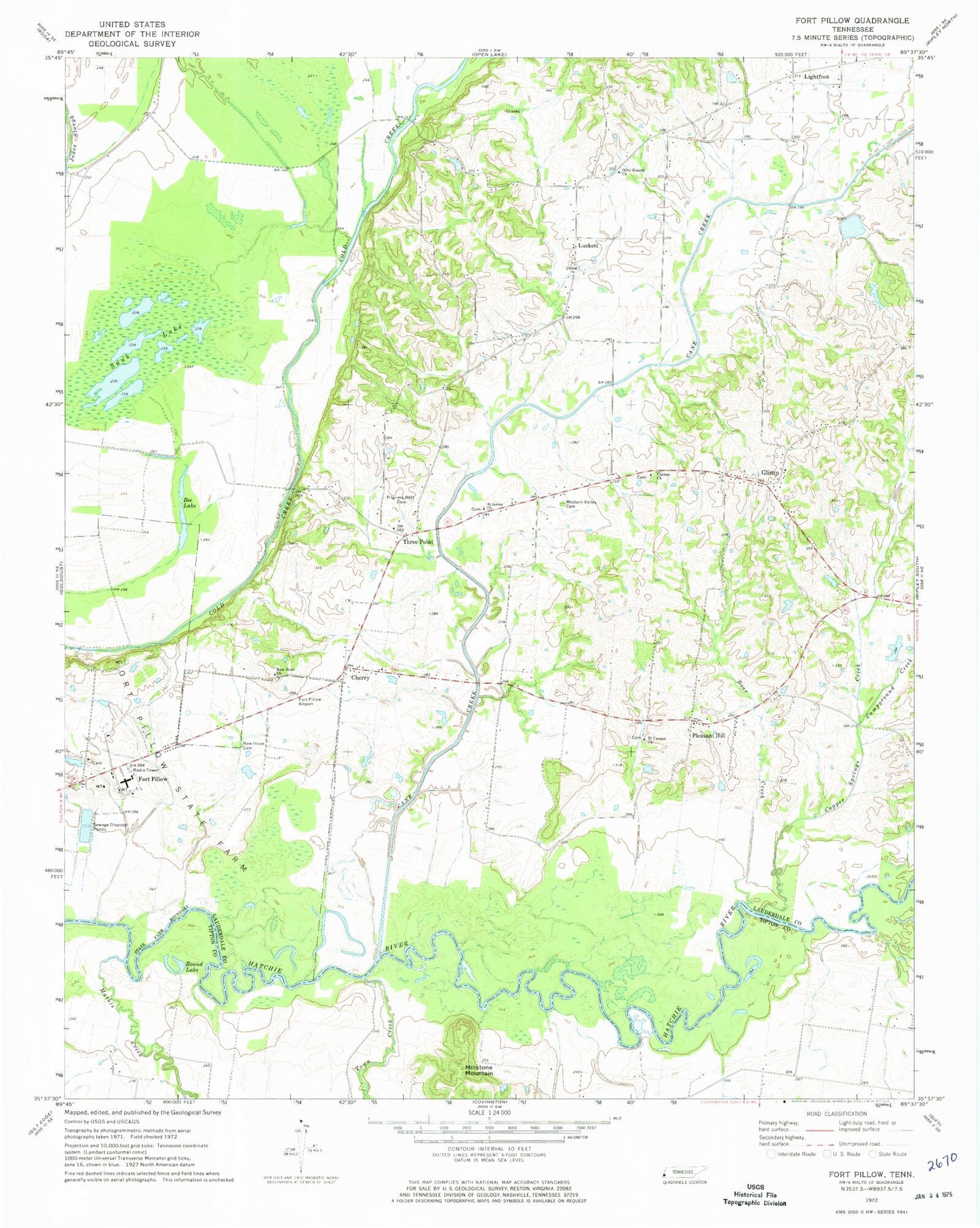
Historical USGS topographic quad map of Fort Pillow in the state of Tennessee. Map scale may vary for some years, but is generally around 1:24,000. Print size is approximately 24" x 27"
This quadrangle is in the following counties: Lauderdale, Tipton.
The map contains contour lines, roads, rivers, towns, and lakes. Printed on high-quality waterproof paper with UV fade-resistant inks, and shipped rolled.
Contains the following named places: Ashport-Three Point Division, Bee Lake, Bethel Church, Boar Creek, Campground Creek, Canaan Cemetery, Canaan Church, Cane Creek, Cane Creek Number Twenty-two Dam, Cane Creek Number Twenty-two Lake, Cherry, Cherry School, Copper Springs Creek, El Canaan Church, El Canaan Missionary Baptist Church Cemetery, Elcannan School, Fort Pillow, Fort Pillow State Farm, Glimp, Green Cemetery, Green Chapel, Johnson Luckett School, Lighfoot Church, Lightfoot, Lightfoot Cemetery, Lightfoot School, Luckett, Luckett Church, Luckett School, Lynn School, Mack, Mathis Creek, Millstone Mountain, New Hope Cemetery, New Hope Church, Olive Branch, Olive Branch Church, Pilgrims Rest Cemetery, Pilgrims Rest Church, Pleasant Hill, Ried Dunavant Dam, Ried Dunavant Lake, Rosenwald School, Round Lake, Saint James Church, Saint James Church Cemetery, Sunk Lake, Three Point, Town Creek, West Lauderdale County Fire Department, West Tennessee State Penitentiary, Western Valley Cemetery, ZIP Code: 38041


