MyTopo
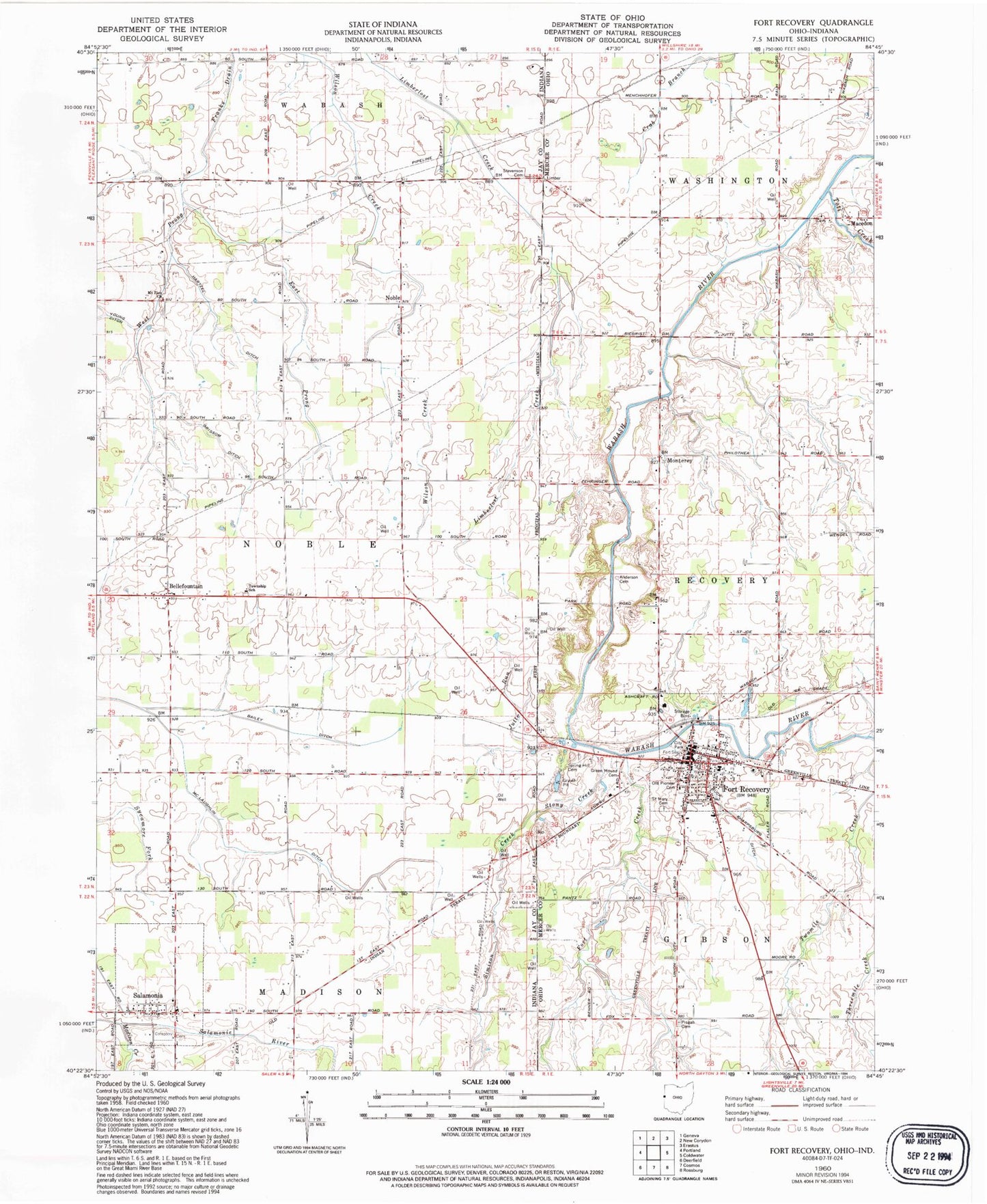
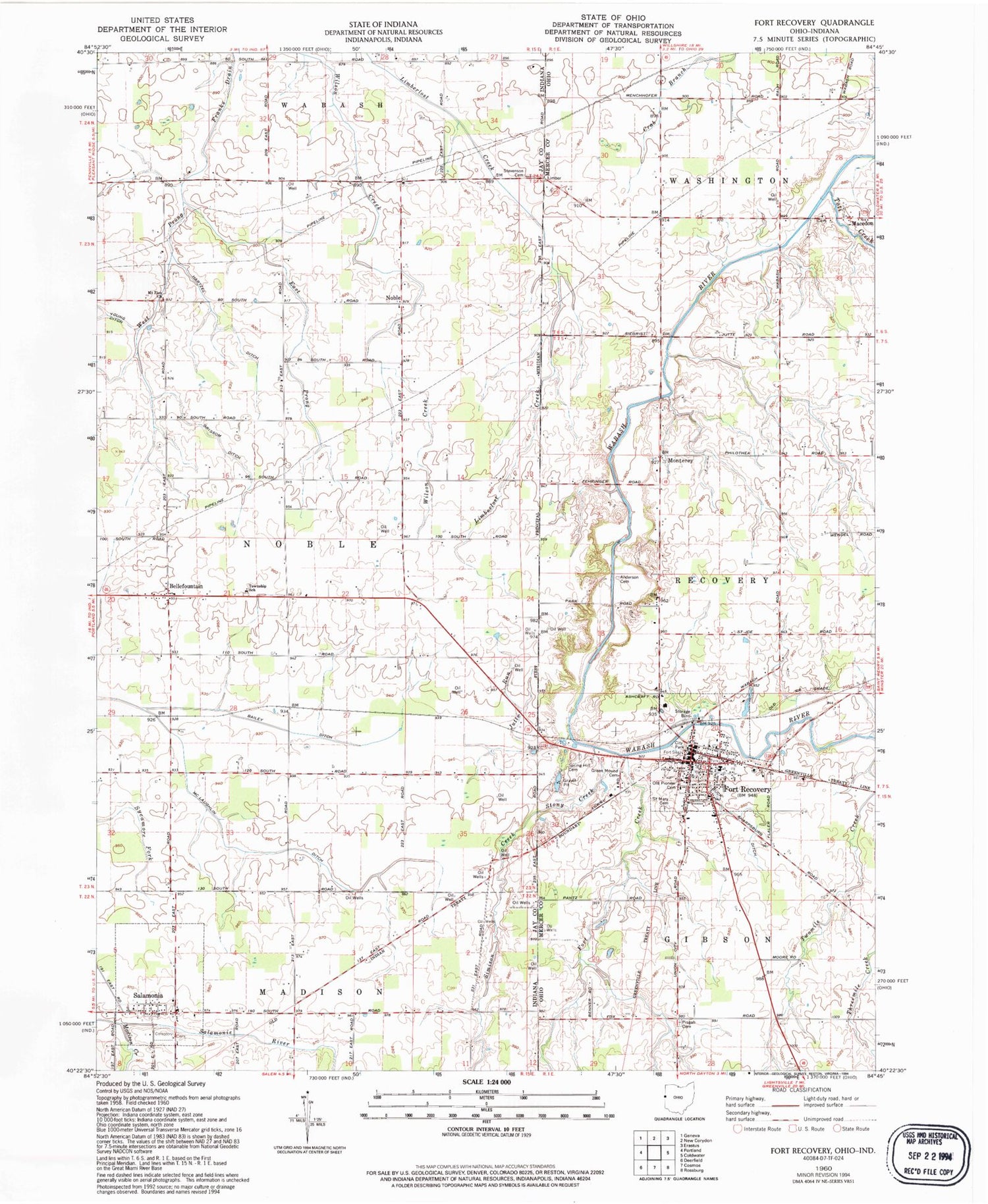
Classic USGS Fort Recovery Ohio 7.5'x7.5' Topo Map
Couldn't load pickup availability
Historical USGS topographic quad map of Fort Recovery in the states of Ohio, Indiana. Map scale may vary for some years, but is generally around 1:24,000. Print size is approximately 24" x 27"
This quadrangle is in the following counties: Jay, Mercer.
The map contains contour lines, roads, rivers, towns, and lakes. Printed on high-quality waterproof paper with UV fade-resistant inks, and shipped rolled.
Contains the following named places: A and N Farms, Anderson Cemetery, Bailey Ditch, Bellfountain, Broadway Mobile Court, Buck Harpsburg Ditch, Christ Chapel, East Prong Franks Drain, Evers Turkey Farm, Fort Creek, Fort Recovery, Fort Recovery Church of Christ, Fort Recovery Elementary School, Fort Recovery High School, Fort Recovery Police Department, Fort Recovery Post Office, Fort Recovery United Methodist Church, Green Mound Cemetery, Grissom Ditch, Hartzel Ditch, Heinz School, Jutte Run, Lockridge Special School, Macedon, Macedon Cemetery, Macedon Post Office, Madison Creek, Metzger Farm, Monterey, Monument Park, Mount Zion Church, Noble, Old Pioneer Cemetery, Pisgah Cemetery, Saint Mary Cemetery, Salamonia, Salamonia Cemetery, Salamonia Volunteer Fire Department, Schmitt Fur Farms, Southwest Mercer Fire District, Spring Hill Cemetery, Stevenson Cemetery, Stony Creek, Sudoff Farms, Toti Creek, Town of Salamonia, Township of Noble, Trinity Lutheran Church, Upper Wabash Number Three Pond, Upper Wabash Number Three Pond Dam, Village of Fort Recovery, Wendel Turkey Farm, Wenning Farm, West Elementary School, West Prong Franks Drain, Willow Hollow Farms, ZIP Code: 47381


