MyTopo
Classic USGS Fort Simcoe Washington 7.5'x7.5' Topo Map
Regular price
$16.95
Regular price
Sale price
$16.95
Unit price
per
Couldn't load pickup availability
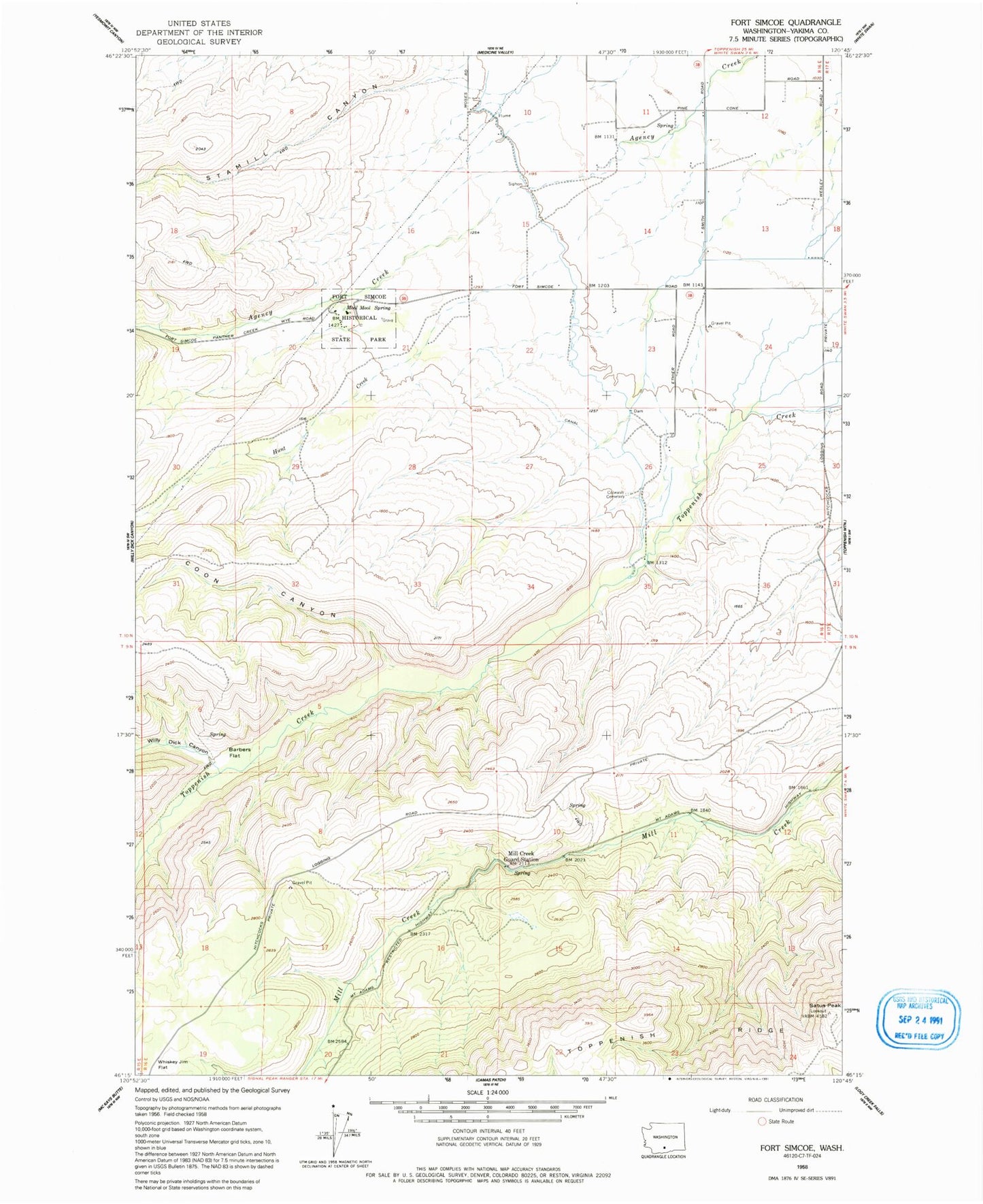
Historical USGS topographic quad map of Fort Simcoe in the state of Washington. Map scale may vary for some years, but is generally around 1:24,000. Print size is approximately 24" x 27"
This quadrangle is in the following counties: Yakima.
The map contains contour lines, roads, rivers, towns, and lakes. Printed on high-quality waterproof paper with UV fade-resistant inks, and shipped rolled.
Contains the following named places: Barbers Flat, Colwash Cemetery, Coon Canyon, Fort Simcoe State Park, Hunt Creek, Mill Creek Guard Station, Mool Mool Spring, Satus Peak, Stamill Canyon, Toppenish Lateral, White Swan Mill Ponds Dam, Willy Dick Canyon, ZIP Code: 98952