MyTopo
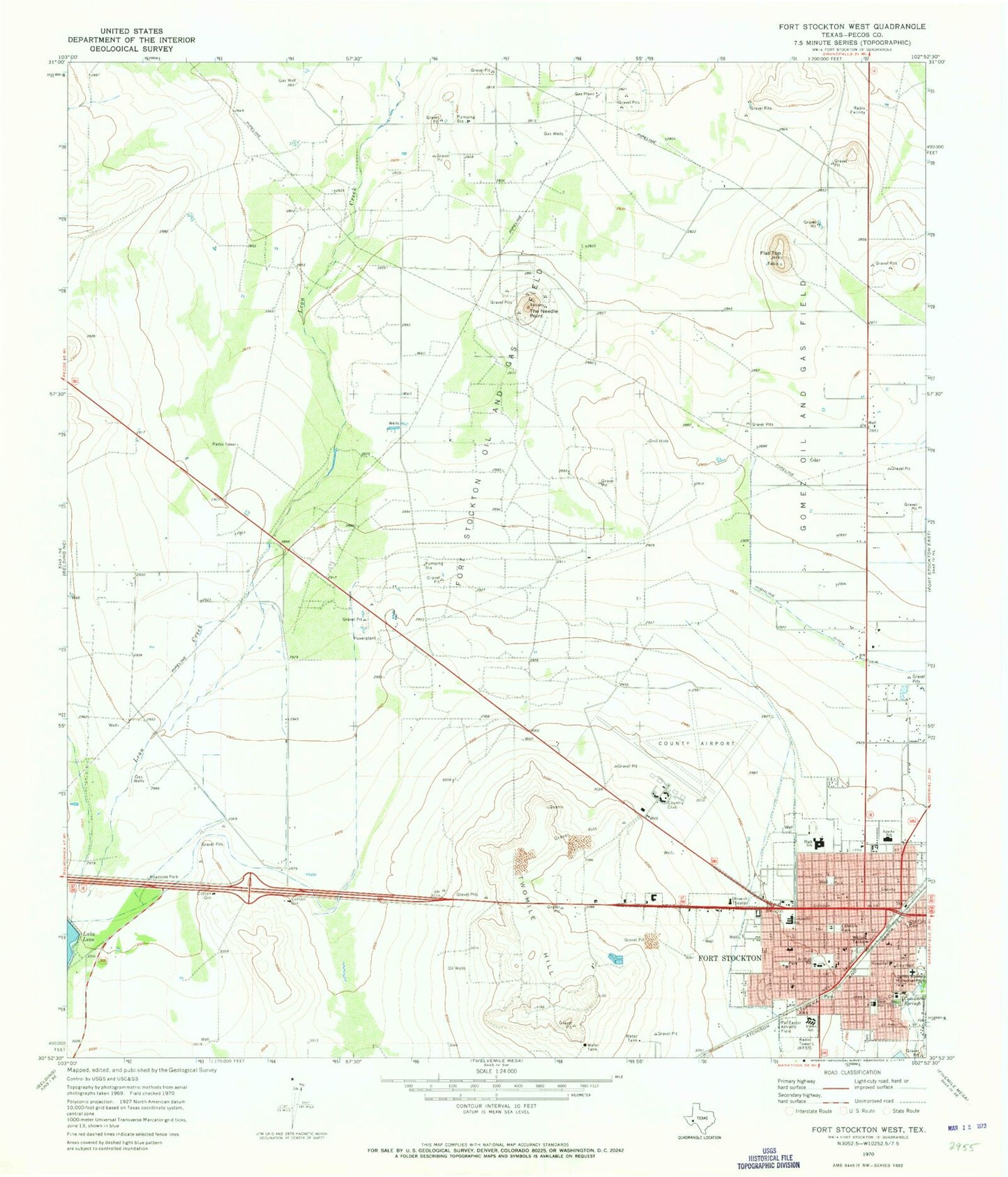
Classic USGS Fort Stockton West Texas 7.5'x7.5' Topo Map
Couldn't load pickup availability
Historical USGS topographic quad map of Fort Stockton West in the state of Texas. Map scale may vary for some years, but is generally around 1:24,000. Print size is approximately 24" x 27"
This quadrangle is in the following counties: Pecos.
The map contains contour lines, roads, rivers, towns, and lakes. Printed on high-quality waterproof paper with UV fade-resistant inks, and shipped rolled.
Contains the following named places: Alamo Elementary School, Alamo School, Annie Riggs Museum, Apache Elementary School, Apache School, Butz Education Center, Butz School, City of Fort Stockton, Comanche Elementary School, Comanche School, Comanche Springs, Faith Lutheran Church, First Baptist Church, First Presbyterian Church, Flat Top, Fort Stockton, Fort Stockton City Hall, Fort Stockton City Park, Fort Stockton High School, Fort Stockton Intermediate School, Fort Stockton Middle School, Fort Stockton Oil and Gas Field, Fort Stockton Police Department, Fort Stockton Post Office, Fort Stockton Volunteer Fire Department Northside Station, Fort Stockton Volunteer Fire Department Southside Station, Fort Stockton-Pecos County Airport, Gibbs Field, Gomez Oil and Gas Field, Guild, Highline Ditch, Hood Mendel Arena, James Rooney Memorial Park, KFST-AM (Fort Stockton), KFST-FM (Fort Stockton), Lannom Park, Little Mexico Colonia, Northside Baptist Church, Old Fort Stockton Cemetery, Panther Stadium, Pat Taylor Athletic Field, Pecos County Courthouse, Pecos County Emergency Medical Services, Pecos County Memorial Hospital, Pecos County Sheriff's Office, Saint Joseph Baptist Church, Sevenmile Mesa, Texas Department of Public Safety Highway Patrol Office, Texas Forest Service Fort Stockton Office, The Church of Jesus Christ of Latter Day Saints, The Needle Point, Twomile Hill, United States Border Patrol Station


