MyTopo
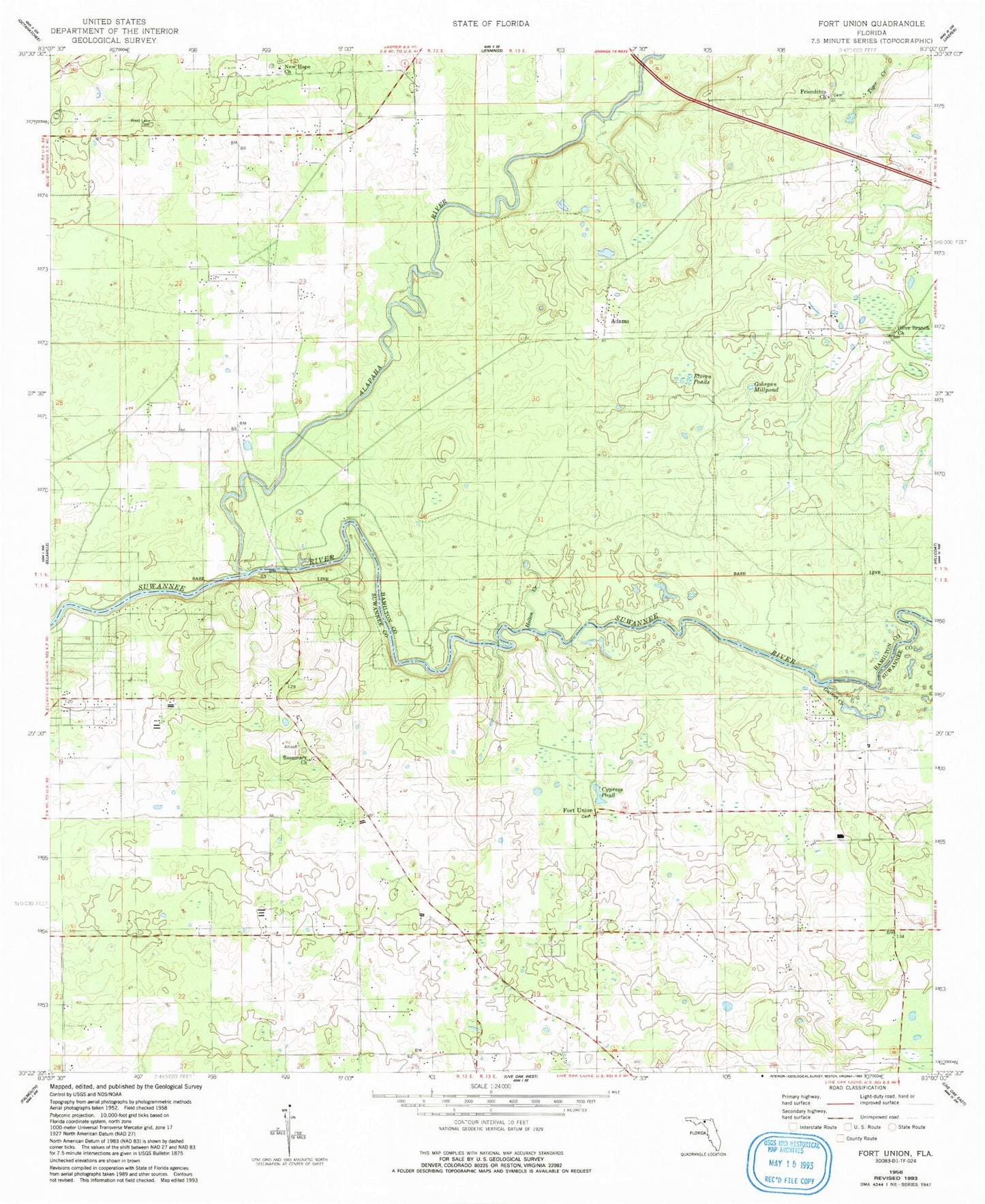
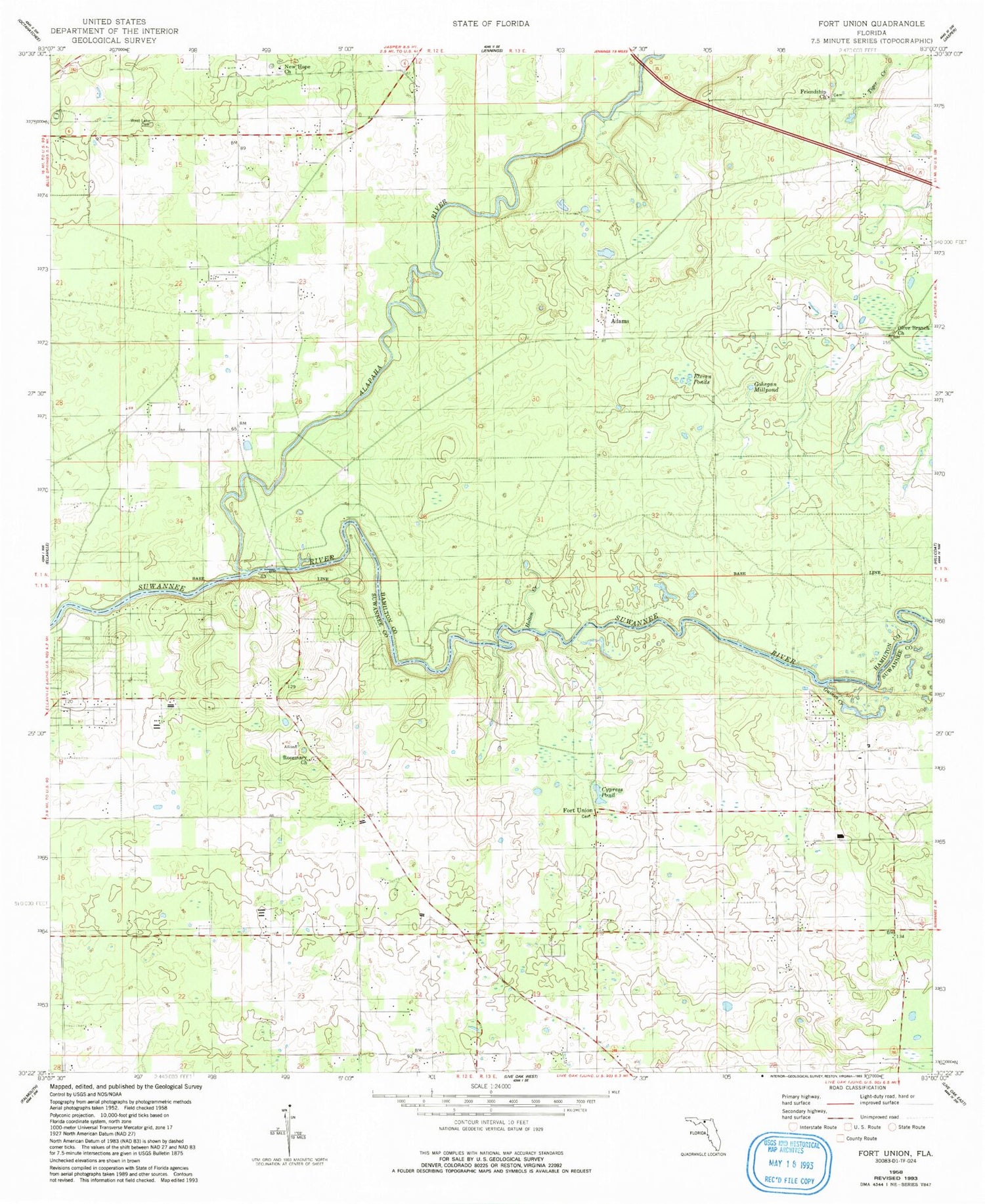
Classic USGS Fort Union Florida 7.5'x7.5' Topo Map
Couldn't load pickup availability
Historical USGS topographic quad map of Fort Union in the state of Florida. Typical map scale is 1:24,000, but may vary for certain years, if available. Print size: 24" x 27"
This quadrangle is in the following counties: Hamilton, Suwannee.
The map contains contour lines, roads, rivers, towns, and lakes. Printed on high-quality waterproof paper with UV fade-resistant inks, and shipped rolled.
Contains the following named places: Cypress Pond, Eleven Ponds, Friendship Church, Gohegan Millpond, Guinea Creek, Holton Creek, New Hope Church, Olive Branch Church, Rosemary Church, Tiger Creek, West Lake Cemetery, Adams, Fort Union, New Hope Cemetery, West Lake Church, Gibson County Park, Florida Sheriffs Boys Ranch, Pittman Oaks Airport, Florida Sheriffs Boys Ranch Airport, Alapaha River, Stagecoach Volunteer Fire Department


