
MyTopo
Classic USGS Fossil Canyon Idaho 7.5'x7.5' Topo Map
Couldn't load pickup availability
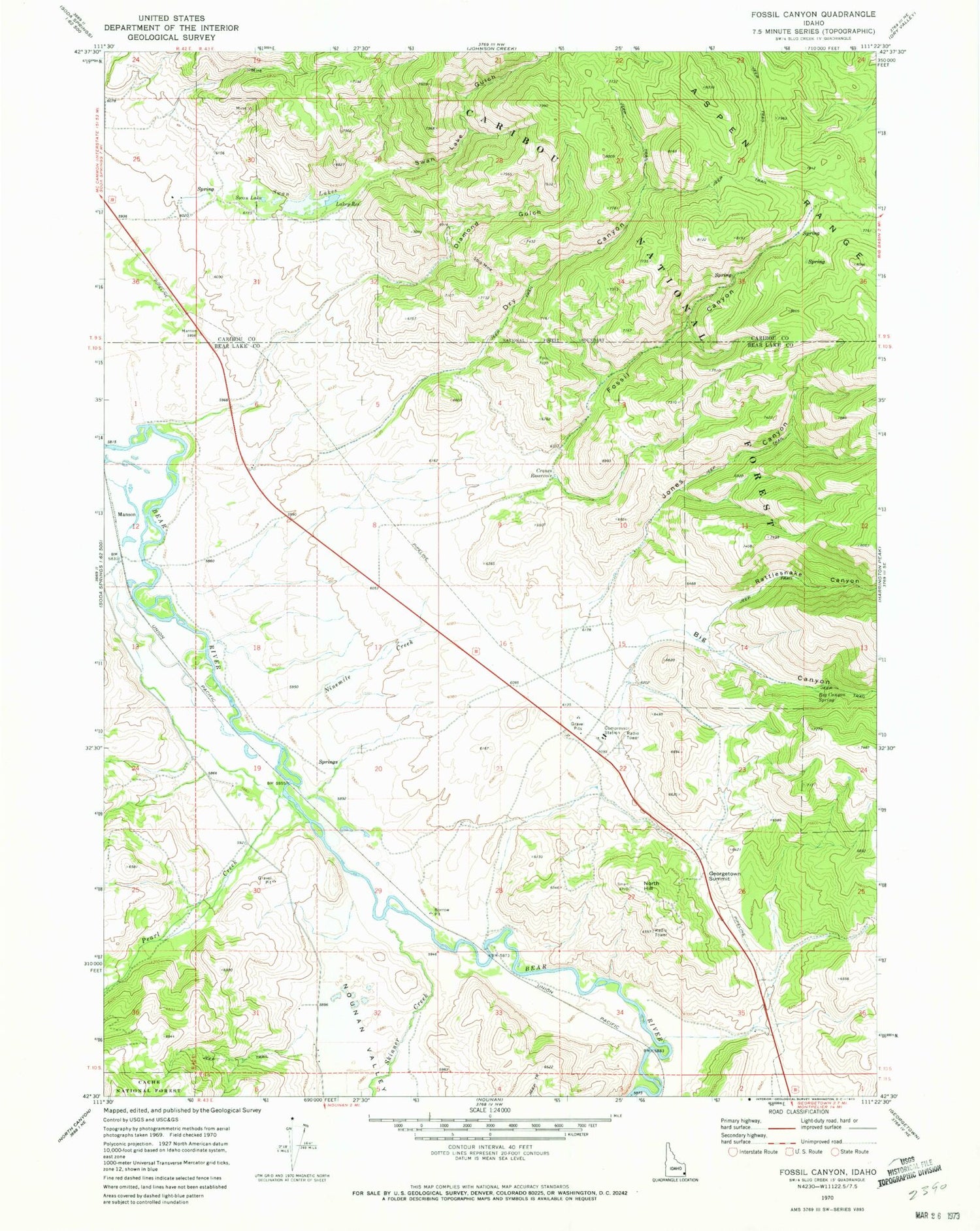
Historical USGS topographic quad map of Fossil Canyon in the state of Idaho. Map scale may vary for some years, but is generally around 1:24,000. Print size is approximately 24" x 27"
This quadrangle is in the following counties: Bear Lake, Caribou.
The map contains contour lines, roads, rivers, towns, and lakes. Printed on high-quality waterproof paper with UV fade-resistant inks, and shipped rolled.
Contains the following named places: Big Canyon, Big Canyon Spring, Cavanaugh Siding, Cranes Reservoir, Diamond Gulch, Dry Canyon, Fossil Canyon, Georgetown Summit, Georgetown Summit Wildlife Management Area, Jones Canyon, Lakey Reservoir, Manson, Ninemile Creek, North Hill, Nounan Valley, Pearl Creek, Rattlesnake Canyon, Skinner Creek, Stewart Ranch Dam, Swan Lake, Swan Lake Gulch, Swan Lakes


