MyTopo
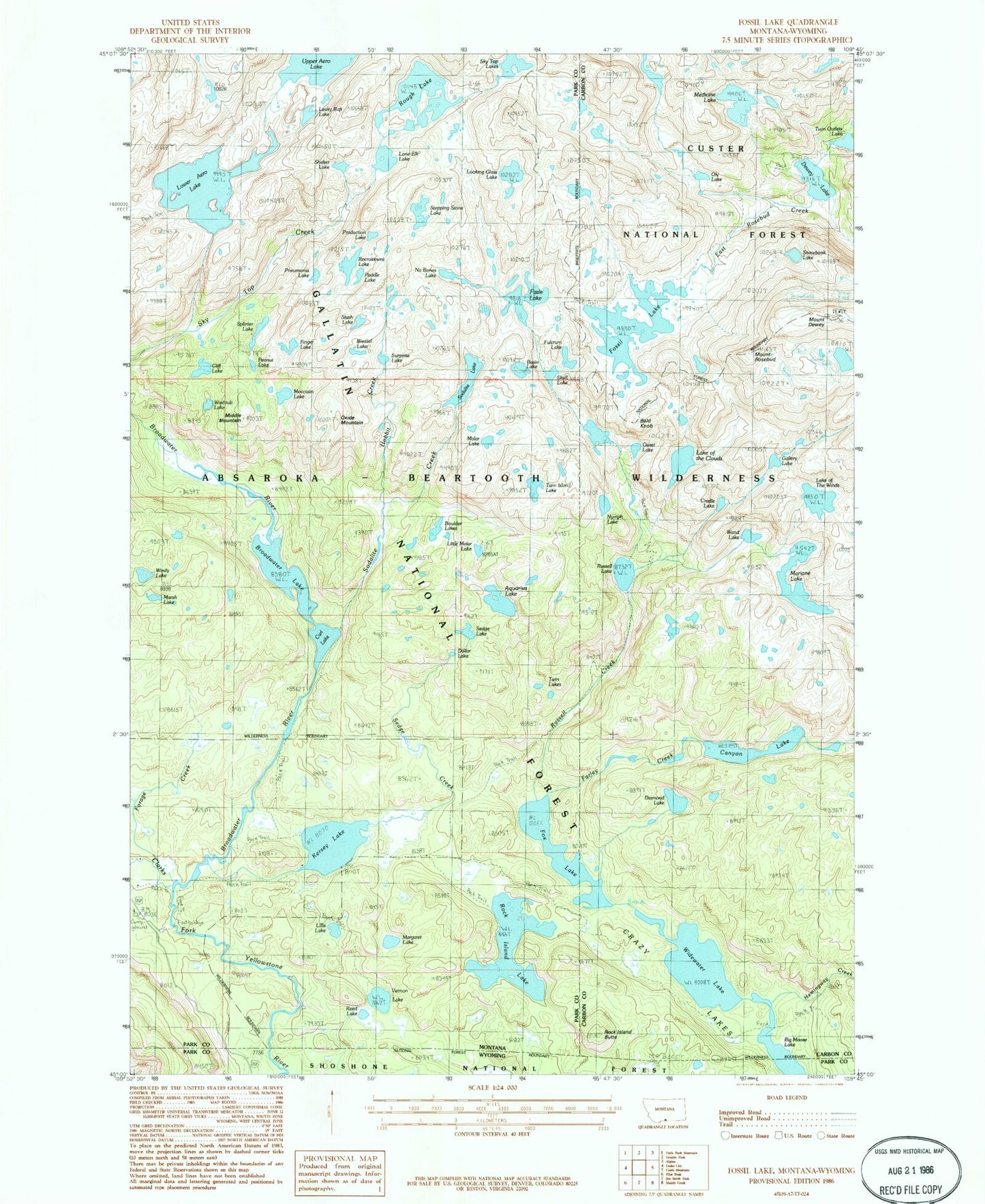
USGS Classic Fossil Lake Montana 7.5'x7.5' Topo Map
Couldn't load pickup availability
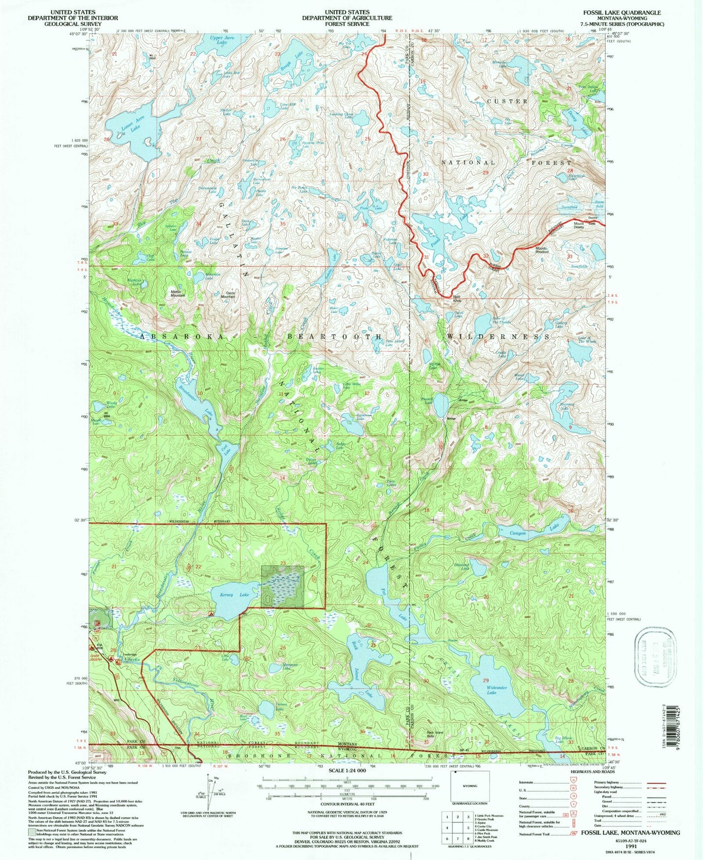
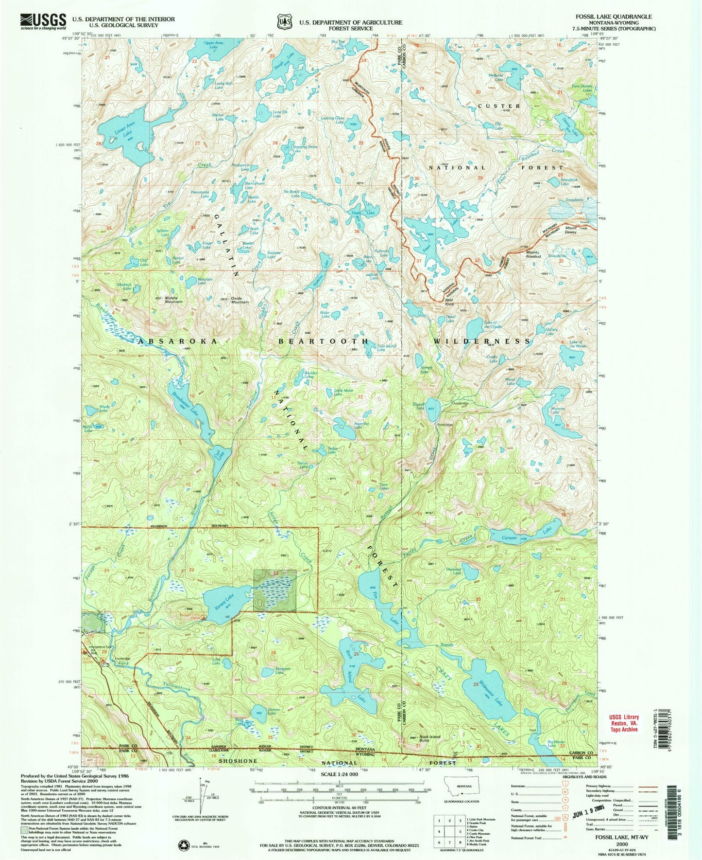
Historical USGS topographic quad map of Fossil Lakein the states of Montana, Wyoming. Scale: 1:24000. Print size: 24" x 27"
This quadrangle is in the following counties: Carbon, Park.
The map contains contour lines, roads, rivers, towns, lakes, and grids including latitude / longitude and UTM / MGRS. Printed on high-quality waterproof paper with UV fade-resistant inks.
Contains the following named places: Fizzle Lake, Medicine Lake, Aquarius Lake, Bald Knob, Big Moose Lake, Broadwater Lake, Canyon Lake, Cliff Lake, Crazy Lakes, Curl Lake, Mount Dewey, Farley Creek, Forage Creek, Fossil Lake, Fox Lake, Kersey Lake, Lillis Lake, Lower Aero Lake, Margaret Lake, Mariane Lake, Dewey Lake, Middle Mountain, Moccasin Lake, Oxide Mountain, Rock Island Butte, Rock Island Lake, Mount Rosebud, Rough Lake, Russell Creek, Russell Lake, Sedge Creek, Sedge Lake, Sodalite Creek, Sodalite Lake, Twin Lakes, Vernon Lake, Widewater Lake, Broadwater River, West Fork Clarks Fork, Twin Outlets Lake, Hemingway Creek, Diamond Lake, Nymph Lake, Wand Lake, Cradle Lake, Lake of the Winds, Gallery Lake, Lake of the Clouds, Ouzel Lake, Snowbank Lake, Oly Lake, Reed Lake, Dollar Lake, Little Molar Lake, Boulder Lakes, Marsh Lake, Wiedy Lake, Washtub Lake, Molar Lake, Skull Lake, Fulcrum Lake, Basin Lake, Surprise Lake, Weasel Lake, Stash Lake, Pneumonia Lake, Finger Lake, Peanut Lake, Splinter Lake, No Bones Lake, Paddle Lake, Recroitment Lake, Production Lake, Stepping Stone Lake, Looking Glass Lake, Lone Elk Lake, Shelter Lake, Leaky Raft Lake, Big Moose Lake, Big Moose Lake, Farley Creek, Big Moose Lake