MyTopo
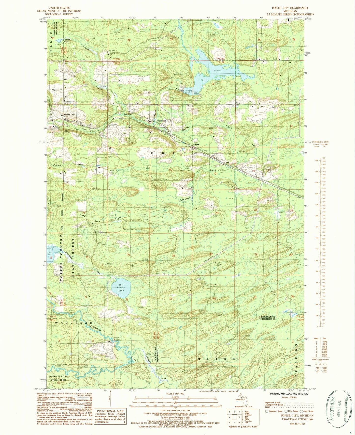
Classic USGS Foster City Michigan 7.5'x7.5' Topo Map
Couldn't load pickup availability
Historical USGS topographic quad map of Foster City in the state of Michigan. Map scale may vary for some years, but is generally around 1:24,000. Print size is approximately 24" x 27"
This quadrangle is in the following counties: Dickinson, Menominee.
The map contains contour lines, roads, rivers, towns, and lakes. Printed on high-quality waterproof paper with UV fade-resistant inks, and shipped rolled.
Contains the following named places: Anderson Creek, Breen Township Fire Department, Brown Creek, Crow Creek, East Lake, Foster City, Foster City Cemetery, Foster City Post Office, Foster City Station, Hardwood, Hardwood Impoundment, Hardwood Post Office, Hardwood Station, Hylas, Mission Covenant Church, Saint Joseph Catholic Church, Schultz Creek, Spruce Lake, Stromberg County Park, Township of Breen