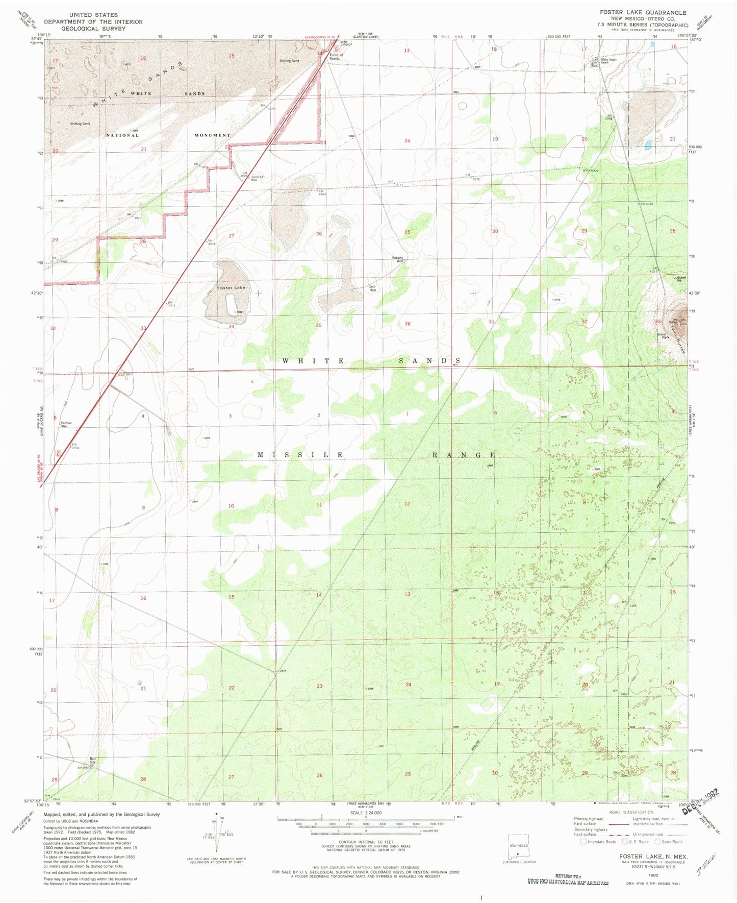
MyTopo
Classic USGS Foster Lake New Mexico 7.5'x7.5' Topo Map
Regular price
$16.95
Regular price
Sale price
$16.95
Unit price
per
Couldn't load pickup availability
Historical USGS topographic quad map of Foster Lake in the state of New Mexico. Map scale may vary for some years, but is generally around 1:24,000. Print size is approximately 24" x 27"
This quadrangle is in the following counties: Otero.
The map contains contour lines, roads, rivers, towns, and lakes. Printed on high-quality waterproof paper with UV fade-resistant inks, and shipped rolled.
Contains the following named places: Alamogordo Division, Foster Lake, Harrington Spring, Pelman Ranch, Pelman Well, Point of Sands, Roberts Well, Salt Spring, Twin Buttes, White Sands Ranch