MyTopo
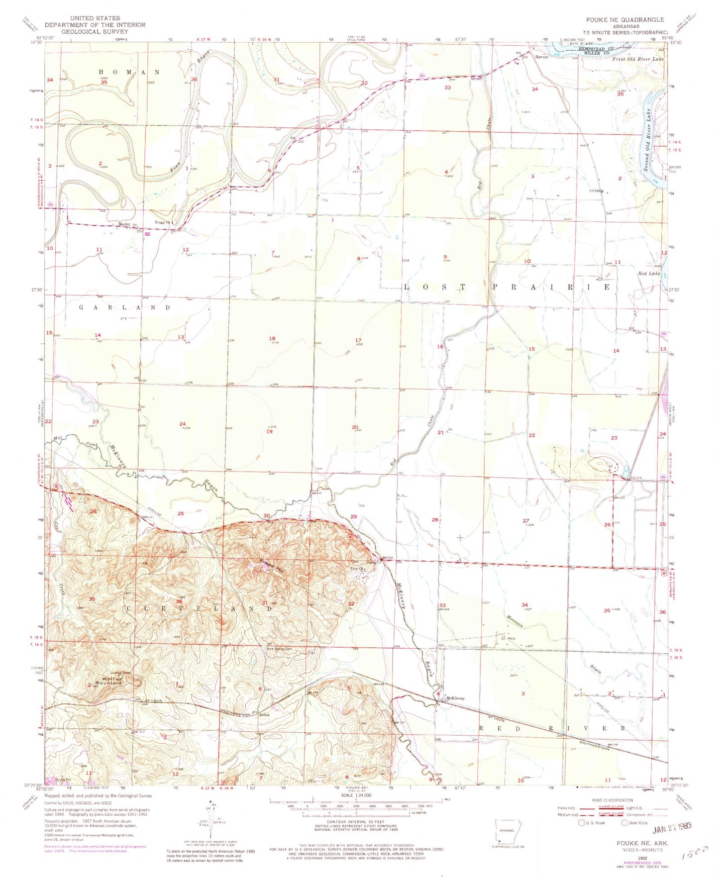
Classic USGS Fouke NE Arkansas 7.5'x7.5' Topo Map
Couldn't load pickup availability
Historical USGS topographic quad map of Fouke NE in the state of Arkansas. Map scale may vary for some years, but is generally around 1:24,000. Print size is approximately 24" x 27"
This quadrangle is in the following counties: Hempstead, Miller.
The map contains contour lines, roads, rivers, towns, and lakes. Printed on high-quality waterproof paper with UV fade-resistant inks, and shipped rolled.
Contains the following named places: Artex, Coe Creek, Dooley, First Old River Lake, Garland City Oil and Gas Field, Hervey, Krause Hill, McKinney, Mill Creek, Red Chute, Rock Springs Cemetery, Second Old River Lake, The Mounds, Township of Lost Prairie, Township of Red River, Tregg Church, Troy Church, Wolf Mountain