MyTopo
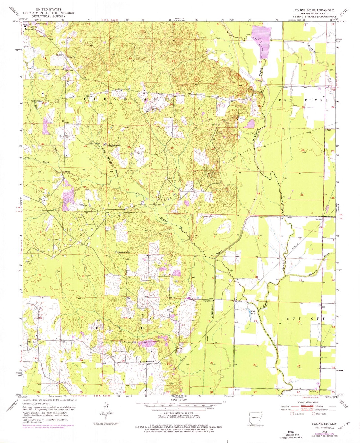
Classic USGS Fouke SE Arkansas 7.5'x7.5' Topo Map
Couldn't load pickup availability
Historical USGS topographic quad map of Fouke SE in the state of Arkansas. Map scale may vary for some years, but is generally around 1:24,000. Print size is approximately 24" x 27"
This quadrangle is in the following counties: Miller.
The map contains contour lines, roads, rivers, towns, and lakes. Printed on high-quality waterproof paper with UV fade-resistant inks, and shipped rolled.
Contains the following named places: Beech Creek, Booker Bridge Fire Department, Central Church, Dry Creek, Fish Lake, Fouke Cemetery, Fouke Oil Field, Genoa Central High School, Hensley Lake, Hensley Lake Dam, Holly Springs, Holly Springs Branch, Holly Springs Church, Macedonia Church, McKenzie Cemetery, Moccasin Bayou, Phylaw Cemetery, Rocky Mound, Rocky Mound Cemetery, Rocky Mound Church, Satellite Fire Department, Township of Cleveland, ZIP Code: 71837