MyTopo
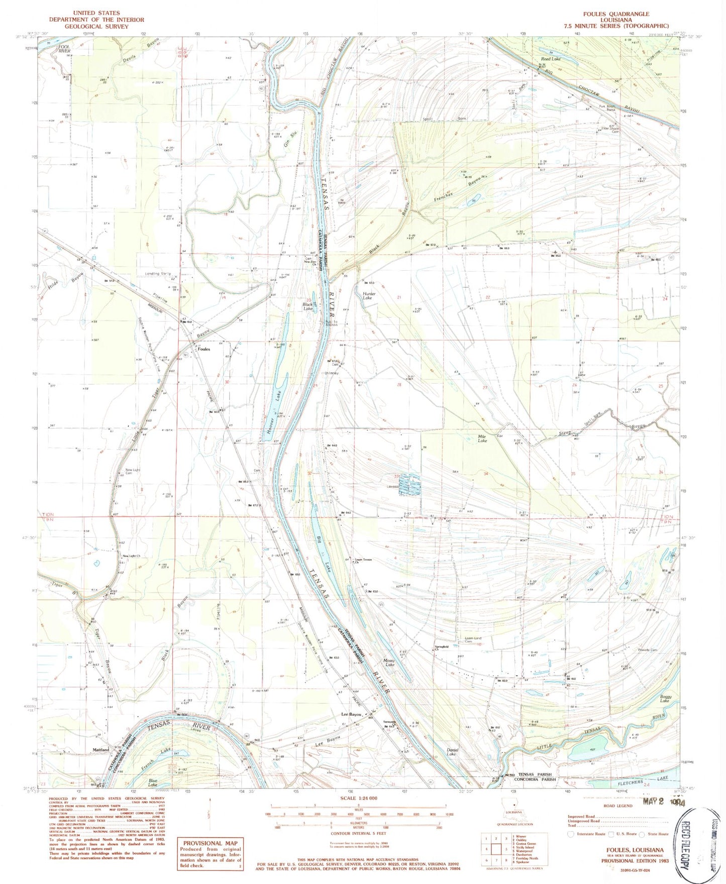
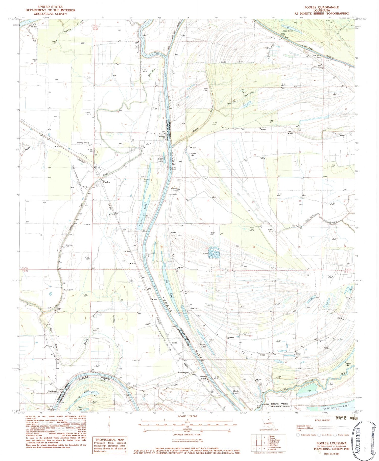
Classic USGS Foules Louisiana 7.5'x7.5' Topo Map
Couldn't load pickup availability
Historical USGS topographic quad map of Foules in the state of Louisiana. Map scale may vary for some years, but is generally around 1:24,000. Print size is approximately 24" x 27"
This quadrangle is in the following counties: Catahoula, Concordia, Tensas.
The map contains contour lines, roads, rivers, towns, and lakes. Printed on high-quality waterproof paper with UV fade-resistant inks, and shipped rolled.
Contains the following named places: Alphenia Church, Alphenia Landing, Anchor Landing, Big Choctaw Bayou, Big Lake, Black Bayou, Black Lake, Blue Lake, Copeland Landing, Crescent Landing, Daniel Lake, Denmark Landing, Devils Bayou, Elder Shade Cemetery, Eltringham Landing, Foules, French Lake, Frenches Bayou, Gin Slough, Greenville, Greenville Cemetery, Hedgeland Landing, Hoover Lake, Hunter Lake, Hunter Landing, Kirks Landing, Lee Bayou, Little Tiger Bayou, Loam Land Cemetery, Loam Land School, Lower Tensas Church, Maitland, Maitland Church, Maitland Landing, Martins Landing, May Lake, Mayhew Landing, Mile Lake, Mossy Lake, New Light Cemetery, New Light Church, New Zion Cemetery, New Zion Church, Oak Dale Landing, OK Landing, Olympic Landing, Oneonta Plantation, Powells Cemetery, Reed Lake, School House Bayou, Springfield Church, Sunnyside Church, Tensas Parish Fire District 1 Station 10, U and I Landing, Wildwood, Willow Lake, Young Landing, ZIP Code: 71326


