MyTopo
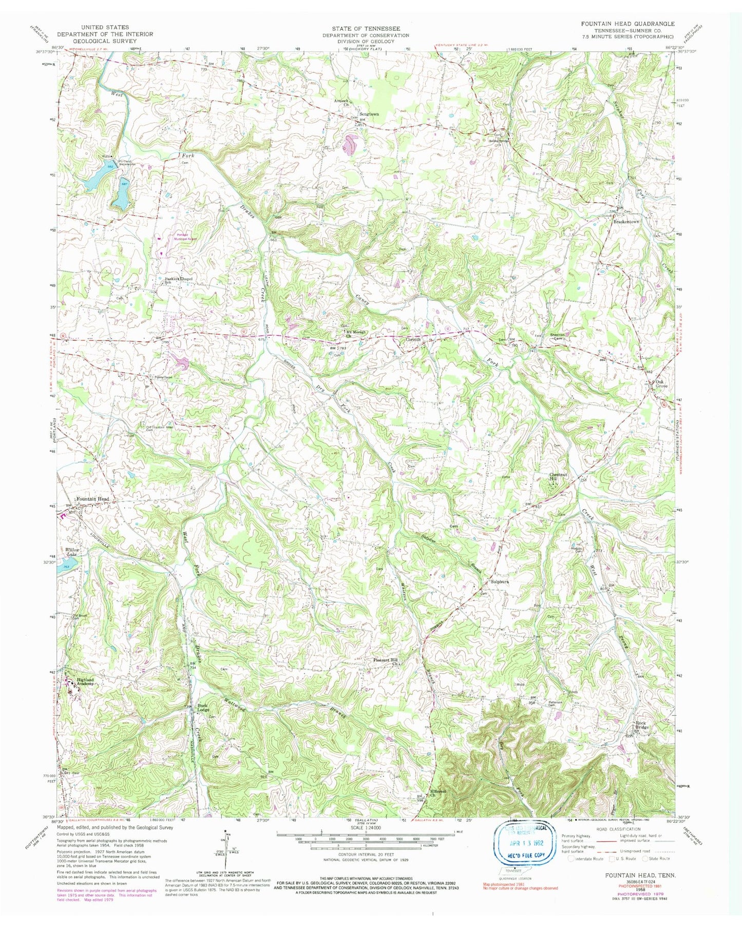
Classic USGS Fountain Head Tennessee 7.5'x7.5' Topo Map
Couldn't load pickup availability
Historical USGS topographic quad map of Fountain Head in the state of Tennessee. Map scale may vary for some years, but is generally around 1:24,000. Print size is approximately 24" x 27"
This quadrangle is in the following counties: Sumner.
The map contains contour lines, roads, rivers, towns, and lakes. Printed on high-quality waterproof paper with UV fade-resistant inks, and shipped rolled.
Contains the following named places: Antioch Baptist Church, Boiling Springs Cemetery, Boiling Springs Church, Brackentown, Brackentown Cemetery, Brackentown School, Buck Lodge, Buck Lodge School, Caney Fork Creek, Chestnut Hill, Clyde Riggs Elementary School, Corinth, Corinth Cemetery, Corinth School, Dry Fork Creek, Fountain Head, Fountain Head Church of Christ, Highland Academy, Highland Seventh Day Adventist Church, Hillcrest Church, Hodges Cemetery, Larry Collins Dam, Larry Collins Lake, Mount Moriah Cemetery, Mount Moriah Church, Oak Grove, Oak Grove Census Designated Place, Old Brush Cemetery, Old Fountain Head Cemetery, Old Fountain Head Church, Parkers Chapel, Parkers Chapel Cemetery, Parkers Chapel School, Patterson Cemetery, Pipers Chapel, Pleasant Hill Cemetery, Pleasant Hill Church, Portland City Lake, Portland City Lake Dam, Portland Division, Portland Municipal Airport, Rock Bridge, Rock Bridge Baptist Church, Rock Bridge Cemetery, Rock Bridge Church of Christ, Sengtown, Sherron Cemetery, Sulphur Branch, Sulphura, Sulphura Cemetery, Sulphura School, Sumner County Sportsman Club Lake Dam, Sumner Sportsman Club Lake, Wattwood Branch, West Prong Caney Fork Creek, Whitson Branch, Willow Lake, Willow Lake Dam, ZIP Code: 37148


