MyTopo
Classic USGS Fountain Peak California 7.5'x7.5' Topo Map
Couldn't load pickup availability
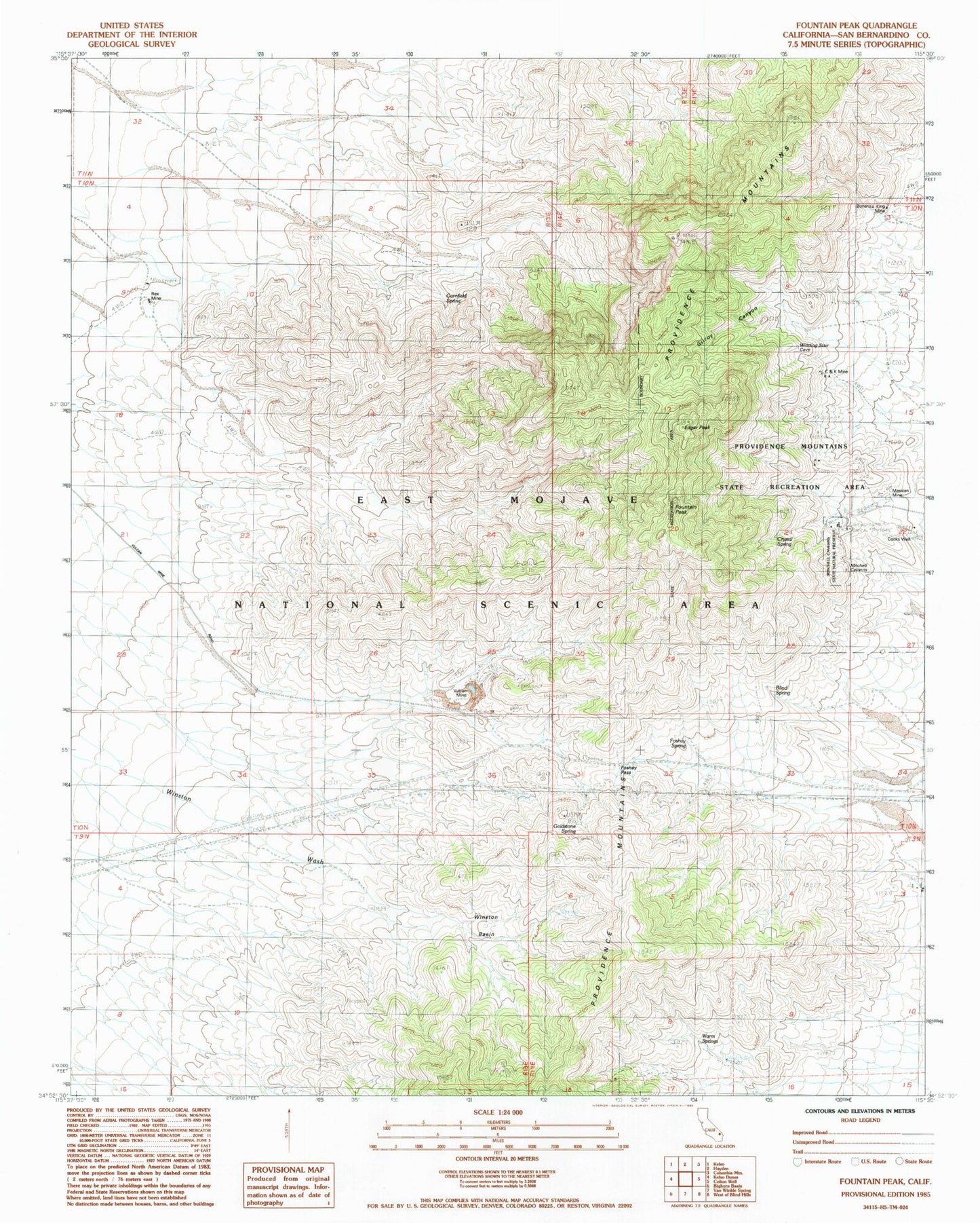
Historical USGS topographic quad map of Fountain Peak in the state of California. Map scale may vary for some years, but is generally around 1:24,000. Print size is approximately 24" x 27"
This quadrangle is in the following counties: San Bernardino.
The map contains contour lines, roads, rivers, towns, and lakes. Printed on high-quality waterproof paper with UV fade-resistant inks, and shipped rolled.
Contains the following named places: Blind Spring, Bonanza King Mine, C and K Mine, Cooks Well, Cornfield Spring, Crystal Spring, Edgar Peak, Foshay Pass, Foshay Spring, Fountain Peak, Gilroy Canyon, Goldstone Spring, Mexican Mine, Mitchell Caverns Natural Preserve, Mitchell Caverns State Park, Providence Mountains, Providence Mountains State Recreation Area, Rex Mine, Vulcan Mine, Warm Springs, Winston Basin