MyTopo
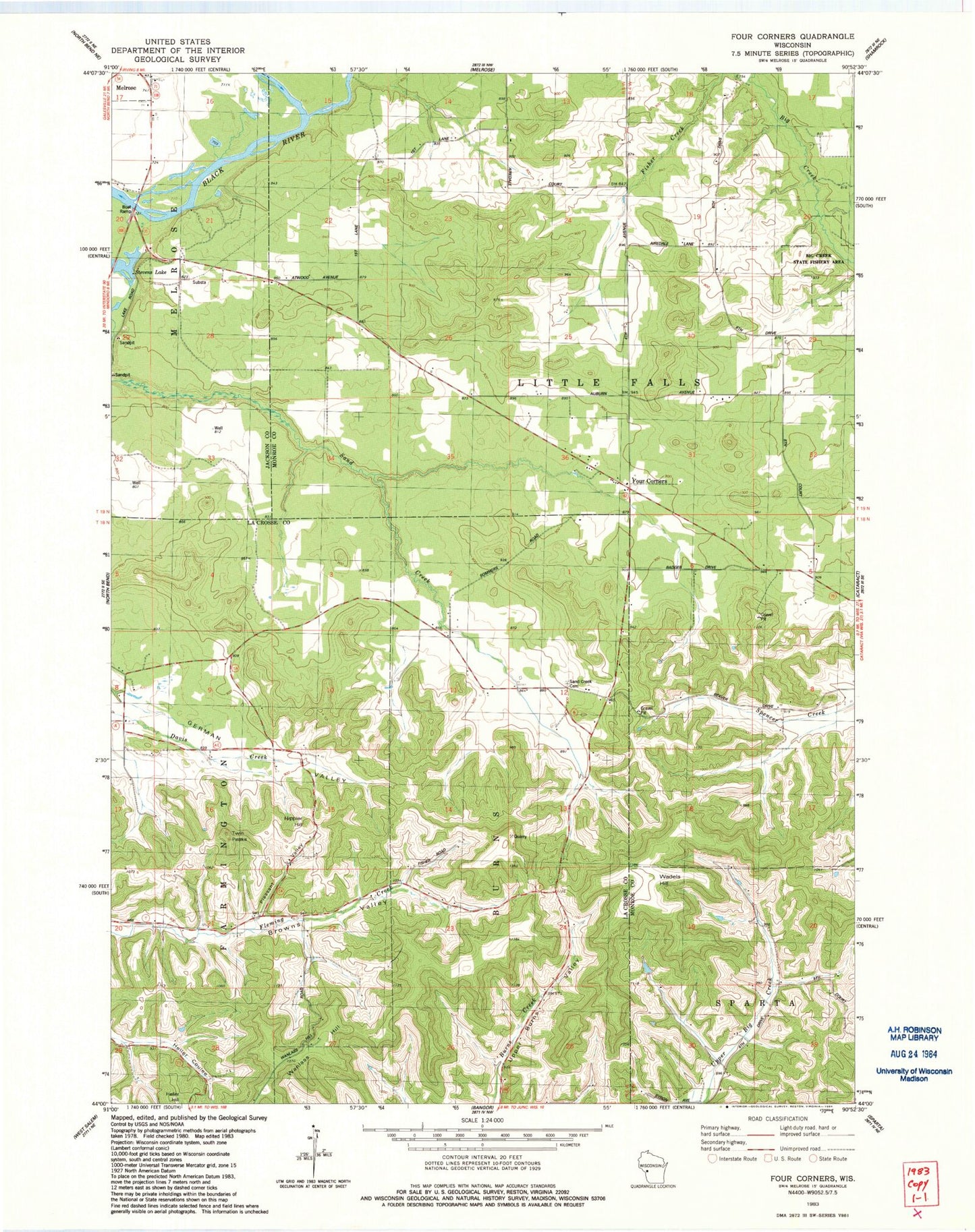
Classic USGS Four Corners Wisconsin 7.5'x7.5' Topo Map
Couldn't load pickup availability
Historical USGS topographic quad map of Four Corners in the state of Wisconsin. Map scale may vary for some years, but is generally around 1:24,000. Print size is approximately 24" x 27"
This quadrangle is in the following counties: Jackson, La Crosse, Monroe.
The map contains contour lines, roads, rivers, towns, and lakes. Printed on high-quality waterproof paper with UV fade-resistant inks, and shipped rolled.
Contains the following named places: Browns Valley School, Four Corners, Hippler Hill, Pleasant Valley, Printz Creek, Sand Creek Cemetery, Sand Creek Pines State Natural Area, Sand Creek School, Stevens Lake, Twin Peaks, Upper Big Creek School, Upper Burns School, Wadels Hill, Wanless Hill, West Prairie School, Yeske School