MyTopo
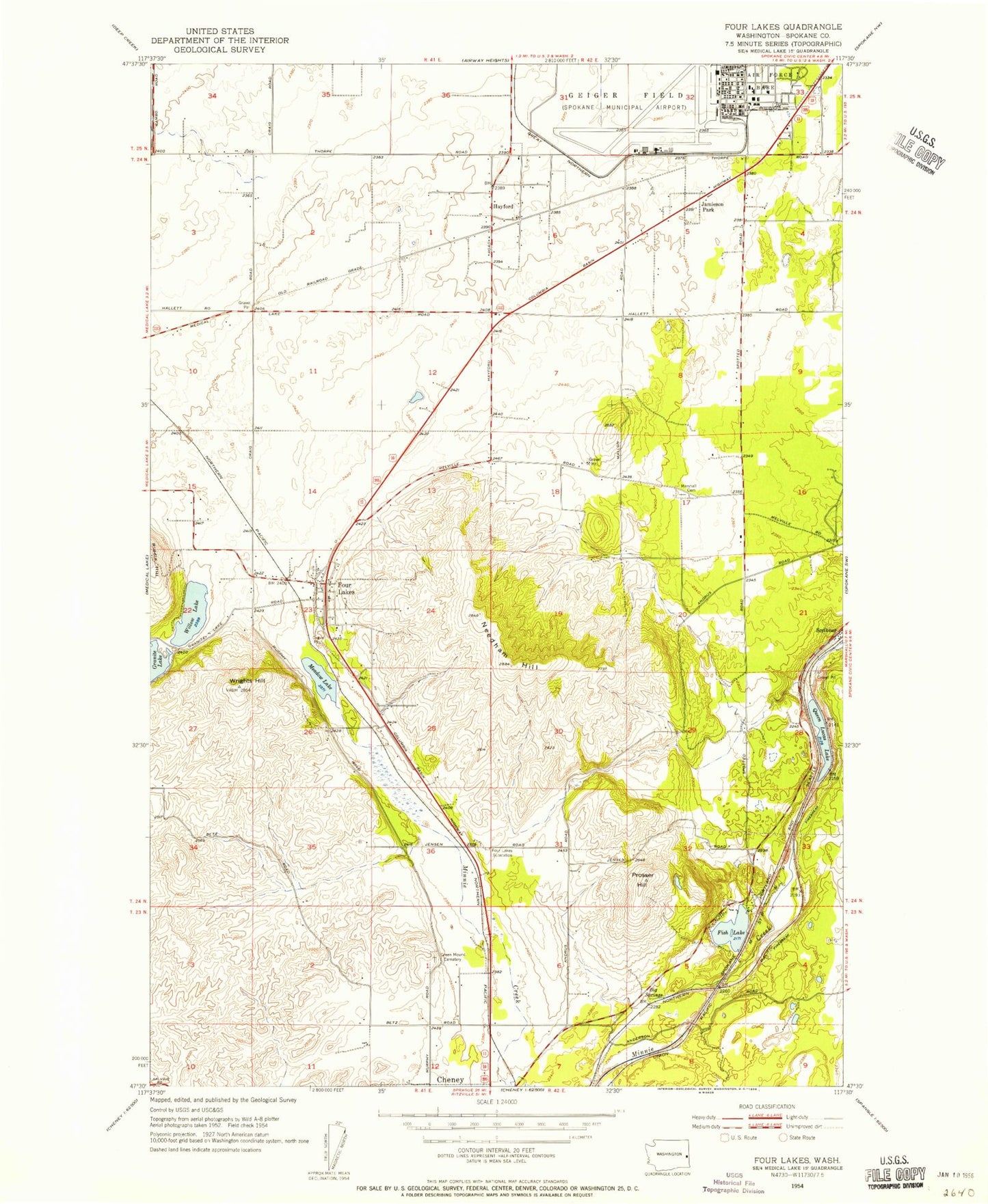
Classic USGS Four Lakes Washington 7.5'x7.5' Topo Map
Couldn't load pickup availability
Historical USGS topographic quad map of Four Lakes in the state of Washington. Map scale may vary for some years, but is generally around 1:24,000. Print size is approximately 24" x 27"
This quadrangle is in the following counties: Spokane.
The map contains contour lines, roads, rivers, towns, and lakes. Printed on high-quality waterproof paper with UV fade-resistant inks, and shipped rolled.
Contains the following named places: Antonian School, Big Springs, Cheney Middle School, Cheney Rodeo Grounds, Fish Lake, Four Lakes, Four Lakes Census Designated Place, Four Lakes Post Office, Four Winds Christian Academy, Green Mound Cemetery, Hayford, Jamieson Park, KAAR-FM (Medical Lake), Lake Eleanor, Lakeside, Marshall Cemetery, Meadow Lake, Monitoring Station, Needham Hill, Prosser Hill, Queen Lucas Lake, Reed Airport, Scribner, Silverbird Airport, Spokane County Fire District 3 Station 33 Four Lakes, Spokane International Airport, Spring Lake, Sunset Hill Post Office, Washington State Patrol District 4, Willow Lake, Wrights Hill


