MyTopo
Classic USGS Four Mound Prairie Washington 7.5'x7.5' Topo Map
Couldn't load pickup availability
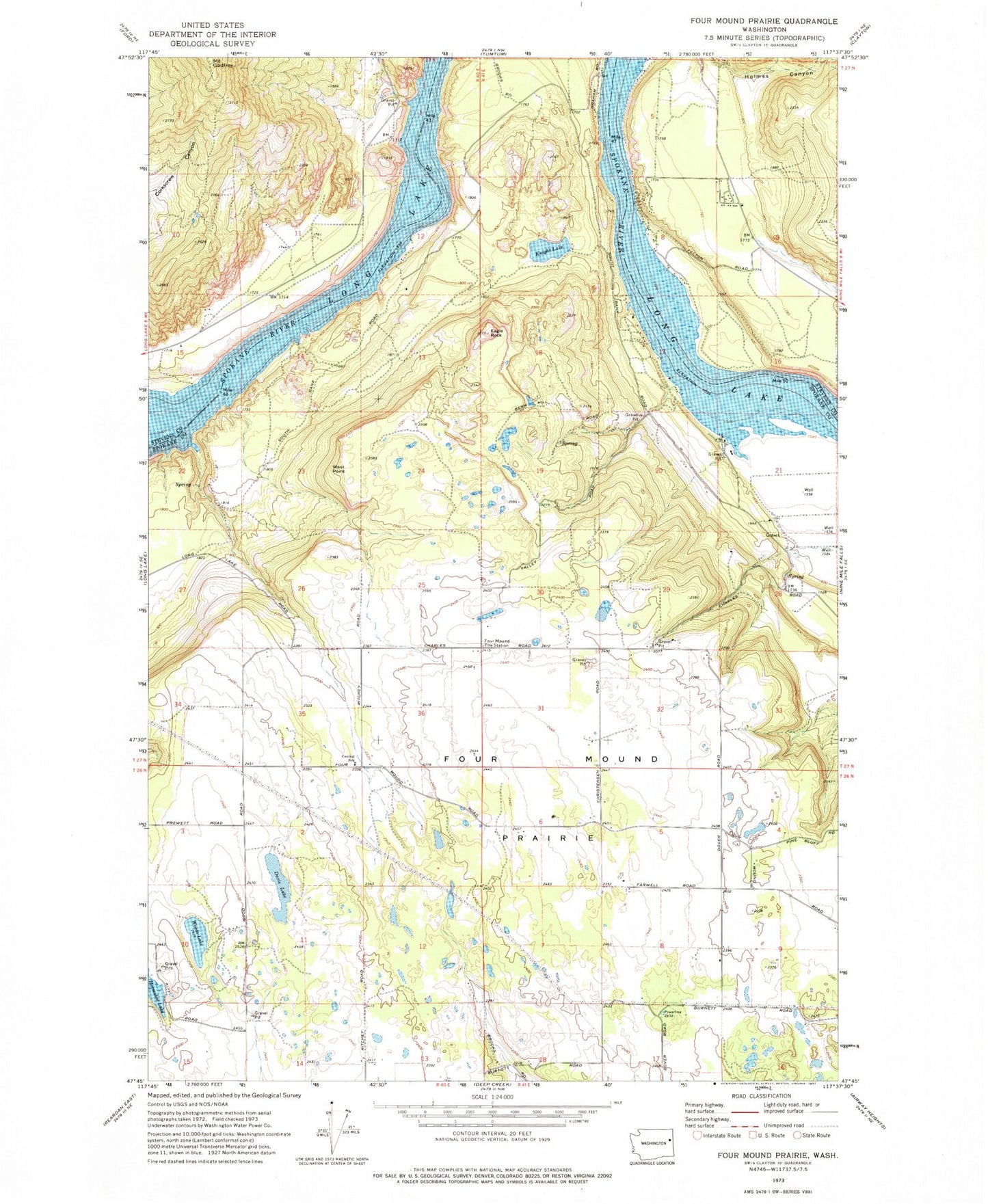
Historical USGS topographic quad map of Four Mound Prairie in the state of Washington. Map scale may vary for some years, but is generally around 1:24,000. Print size is approximately 24" x 27"
This quadrangle is in the following counties: Spokane, Stevens.
The map contains contour lines, roads, rivers, towns, and lakes. Printed on high-quality waterproof paper with UV fade-resistant inks, and shipped rolled.
Contains the following named places: Central School, Davis Lake, Eagle Rock, Four Mound Fire Station, Four Mound Prairie, Knight Lake, Mount Godfrey, Spokane County Fire District 5 Station 51, Spokane County Fire District 5 Station 52, Stevens County Fire District 1 Fire Station 4 Tumtum, Tightcliff Airport, West Point, Woods Lake, ZIP Code: 99026