MyTopo
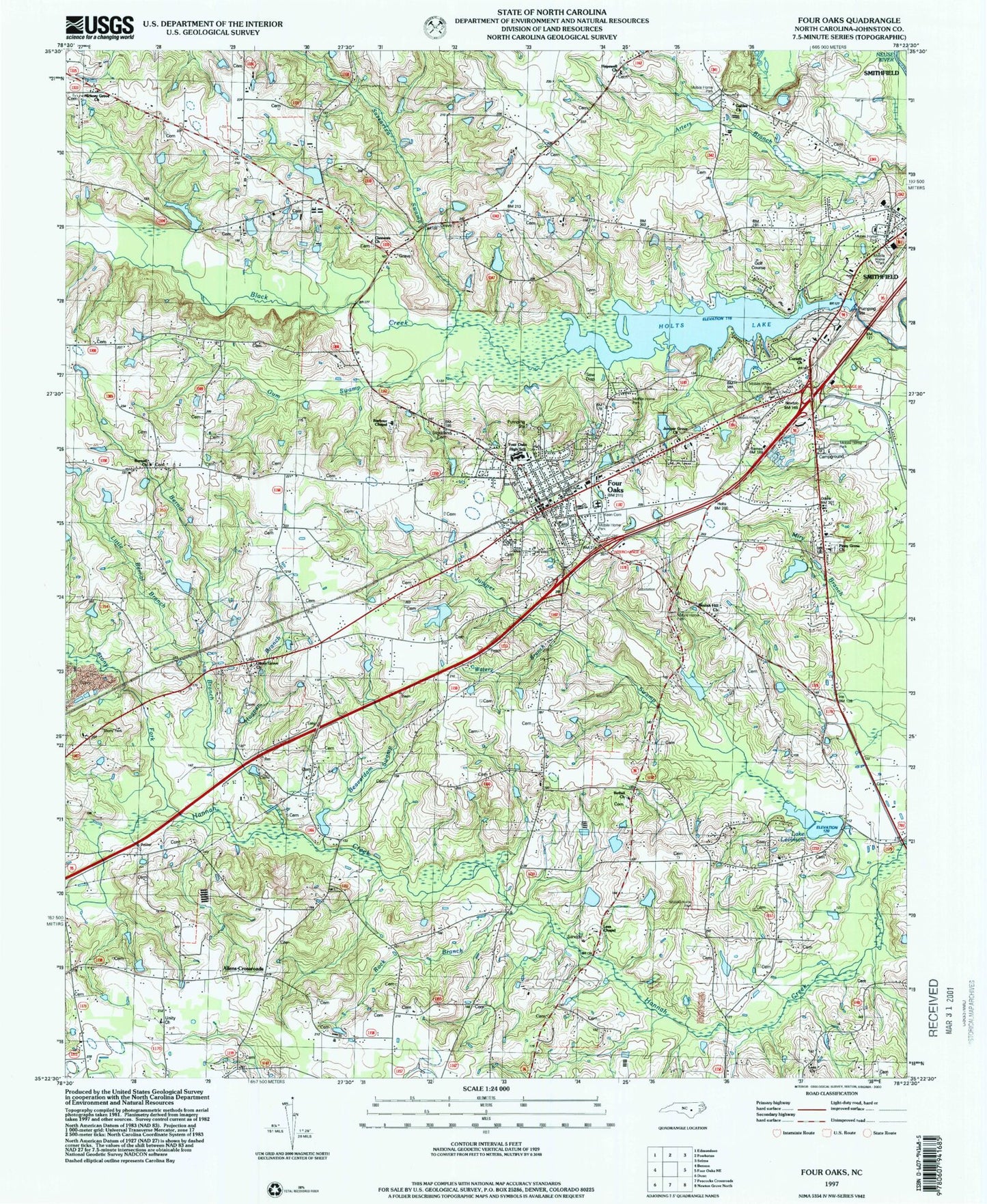
Classic USGS Four Oaks North Carolina 7.5'x7.5' Topo Map
Couldn't load pickup availability
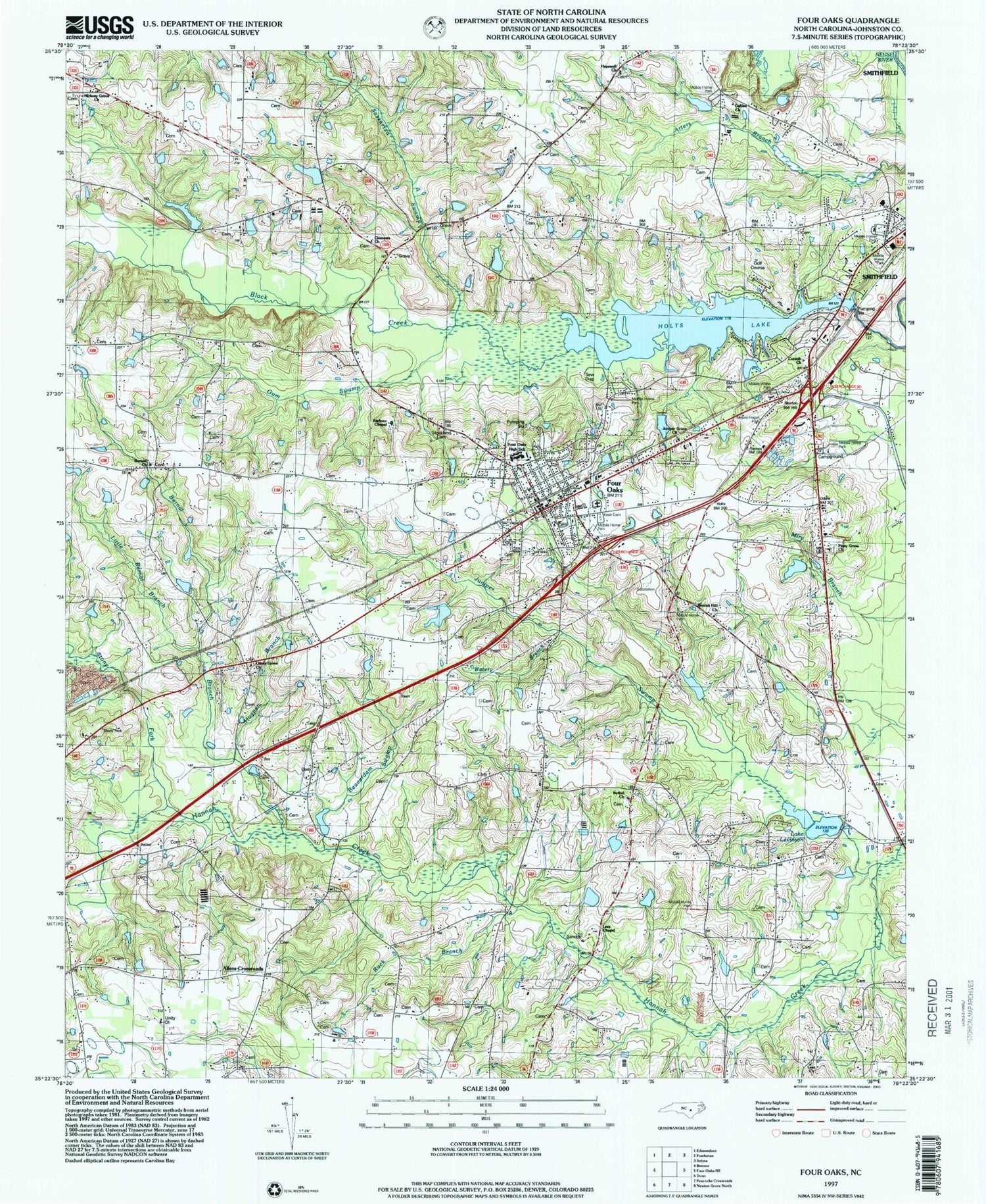
Historical USGS topographic quad map of Four Oaks in the state of North Carolina. Map scale may vary for some years, but is generally around 1:24,000. Print size is approximately 24" x 27"
This quadrangle is in the following counties: Johnston.
The map contains contour lines, roads, rivers, towns, and lakes. Printed on high-quality waterproof paper with UV fade-resistant inks, and shipped rolled.
Contains the following named places: Allens Crossroads, Barbour Chapel, Beaverdam Swamp, Bernal Branch, Bethel Church, Beulah Hill Church, Burnell Church, Clements Church, Corinth Church, Durham Corners, Four Oaks, Four Oaks Emergency Medical Services, Four Oaks Fire Department Station 1, Four Oaks High School, Four Oaks Police Department, Four Oaks Post Office, Galilee Church, Gar Gut, Gum Swamp, Hickory Grove Church, Hockaday Bridge, Hogpen Branch, Holts Pond Dam, Hopewell Church, Johnson Pond, Juniper Church, Juniper Grove Church, Juniper Swamp, Keen Cemetery, Keen Pond Dam Number One, Lake Austin, Lake Austin Pond Dam, Lake Lauderdale Dam, Lake Levinson, Lassiter Pond Dam, Lee Bridge, Lees Chapel, Lees Church, Little Bernal Branch, Massengill Mill Pond, McArthur Lake, McGee Pond, North Carolina State Highway Patrol Troop C District 6, Oliver Grove Church, Parker Bridge, Parker School, Parkertown, Piney Grove Church, Rock Branch, Sassarixa Swamp, Spilona, Stony Fork, Strickland Cemetery, Tar Heel Farm Pond Dam, The Oaks, Thomas Lake Dam, Town of Four Oaks, Township of Ingrams, Unity Church, Watery Branch, Whitley Pond Dam Number One, Whitley Pond Number One, ZIP Code: 27524


