MyTopo
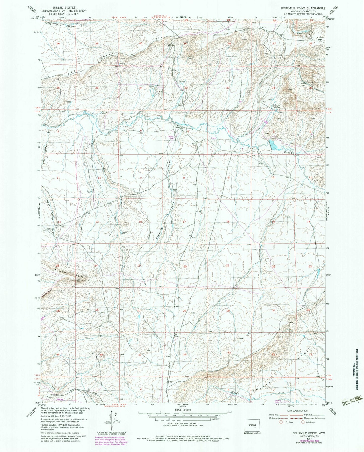
Classic USGS Fourmile Point Wyoming 7.5'x7.5' Topo Map
Regular price
$16.95
Regular price
Sale price
$16.95
Unit price
per
Couldn't load pickup availability
Historical USGS topographic quad map of Fourmile Point in the state of Wyoming. Map scale may vary for some years, but is generally around 1:24,000. Print size is approximately 24" x 27"
This quadrangle is in the following counties: Carbon.
The map contains contour lines, roads, rivers, towns, and lakes. Printed on high-quality waterproof paper with UV fade-resistant inks, and shipped rolled.
Contains the following named places: AEC Airborne Anomaly Number Nine Mine, Burgess Springs, Dry Creek Rim, Fourmile Creek, Fourmile Point, Gafco Claim, Horse Springs Draw, Meer Dam, Meer Ranch, Meer Reservoir, Shearing Pens Draw, Shirley Number Twenty-two Mine, South Fork Canyon Creek, Stinking Creek