MyTopo
Classic USGS Fourth of July Butte Arizona 7.5'x7.5' Topo Map
Regular price
$16.95
Regular price
Sale price
$16.95
Unit price
per
Couldn't load pickup availability
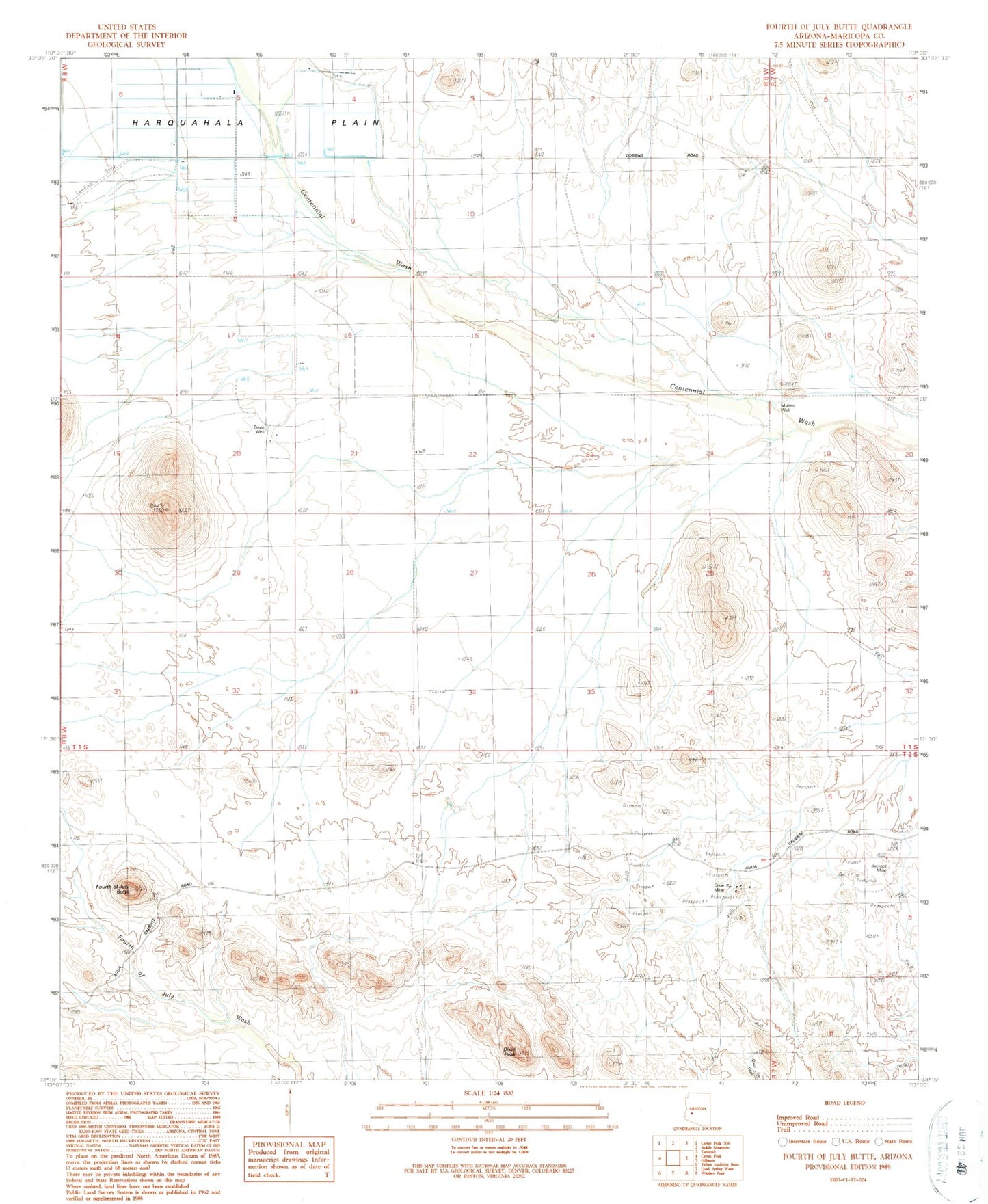
Historical USGS topographic quad map of Fourth of July Butte in the state of Arizona. Map scale may vary for some years, but is generally around 1:24,000. Print size is approximately 24" x 27"
This quadrangle is in the following counties: Maricopa.
The map contains contour lines, roads, rivers, towns, and lakes. Printed on high-quality waterproof paper with UV fade-resistant inks, and shipped rolled.
Contains the following named places: Cole Well, Davis Ranch, Davis Well, Dixie Mine, Dixie Peak, Fourth of July Butte, Galleto Tank, Jackpot Mine, Jaco Well, Luke Well, Mullen Well, Parker Well, Pump Well, Volcanic Well, West Well