MyTopo
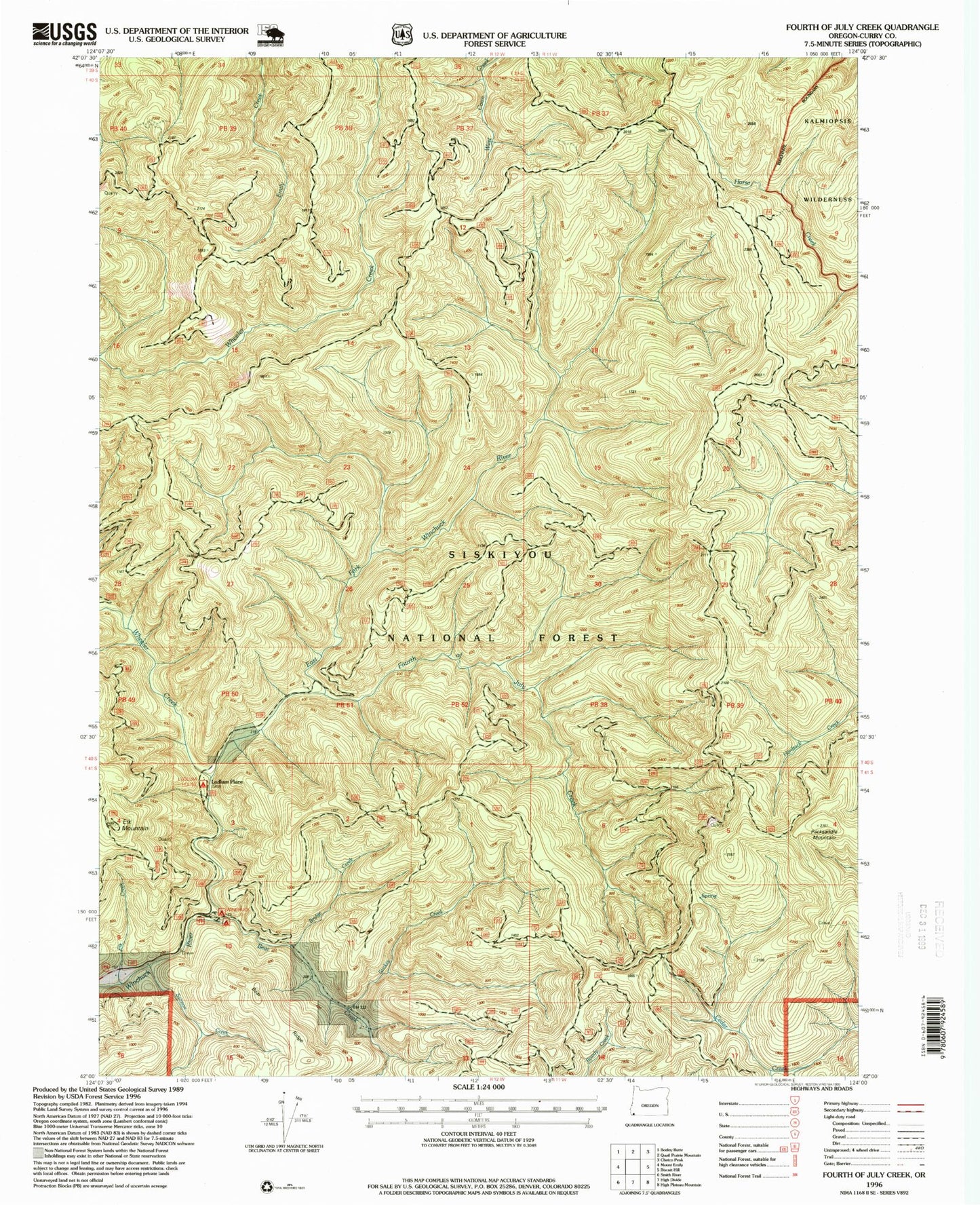
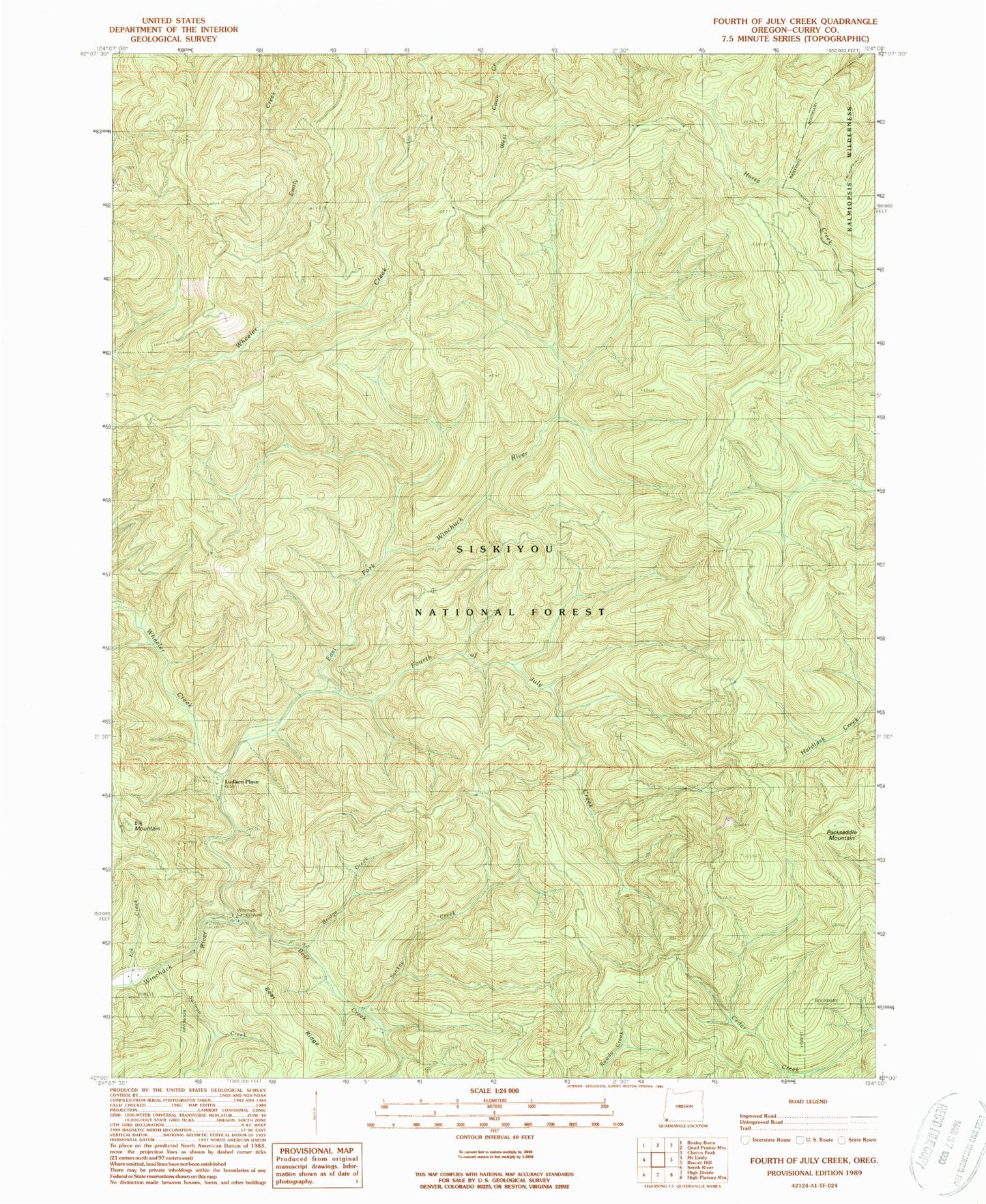
Classic USGS Fourth of July Creek Oregon 7.5'x7.5' Topo Map
Couldn't load pickup availability
Historical USGS topographic quad map of Fourth of July Creek in the state of Oregon. Map scale may vary for some years, but is generally around 1:24,000. Print size is approximately 24" x 27"
This quadrangle is in the following counties: Curry.
The map contains contour lines, roads, rivers, towns, and lakes. Printed on high-quality waterproof paper with UV fade-resistant inks, and shipped rolled.
Contains the following named places: Bear Creek, Bear Ridge, Bear Wallow Lookout, Bridge Creek, Dry Creek, East Fork Winchuck River, Elk Creek, Elk Mountain, Emily Creek Way, First Camp Recreation Site, Fourth of July Creek, Harbor Division, Kink Creek, Louise Creek, Ludlum House Recreation Site, Ludlum Place, Packsaddle Lookout, Packsaddle Mountain, Packsaddle Trail, Salmon Creek, Sankey Creek, Wheeler Creek, Wheeler Creek Natural Research Area, Wheeler Ridge, Winchuck Recreation Site


