MyTopo
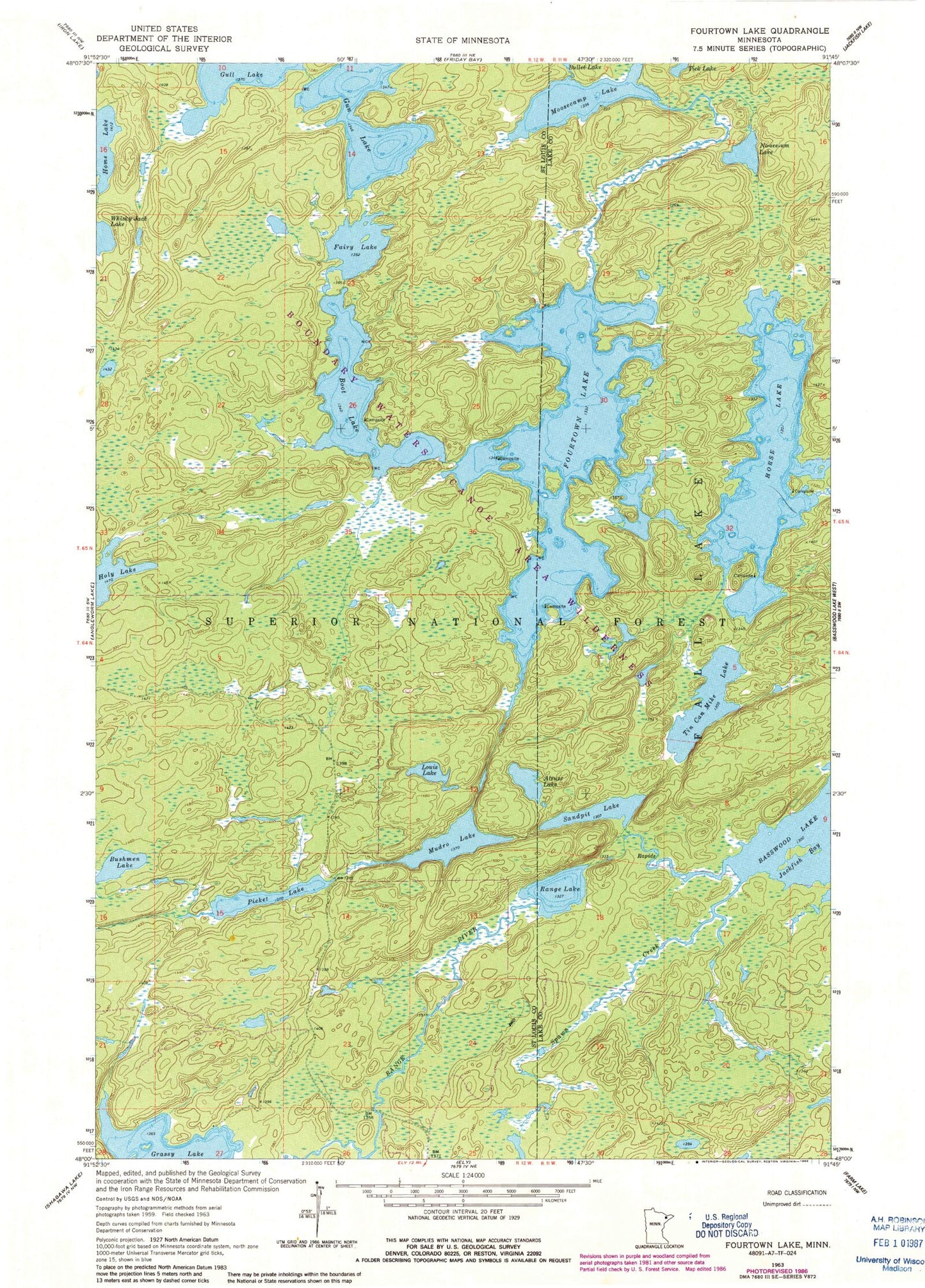
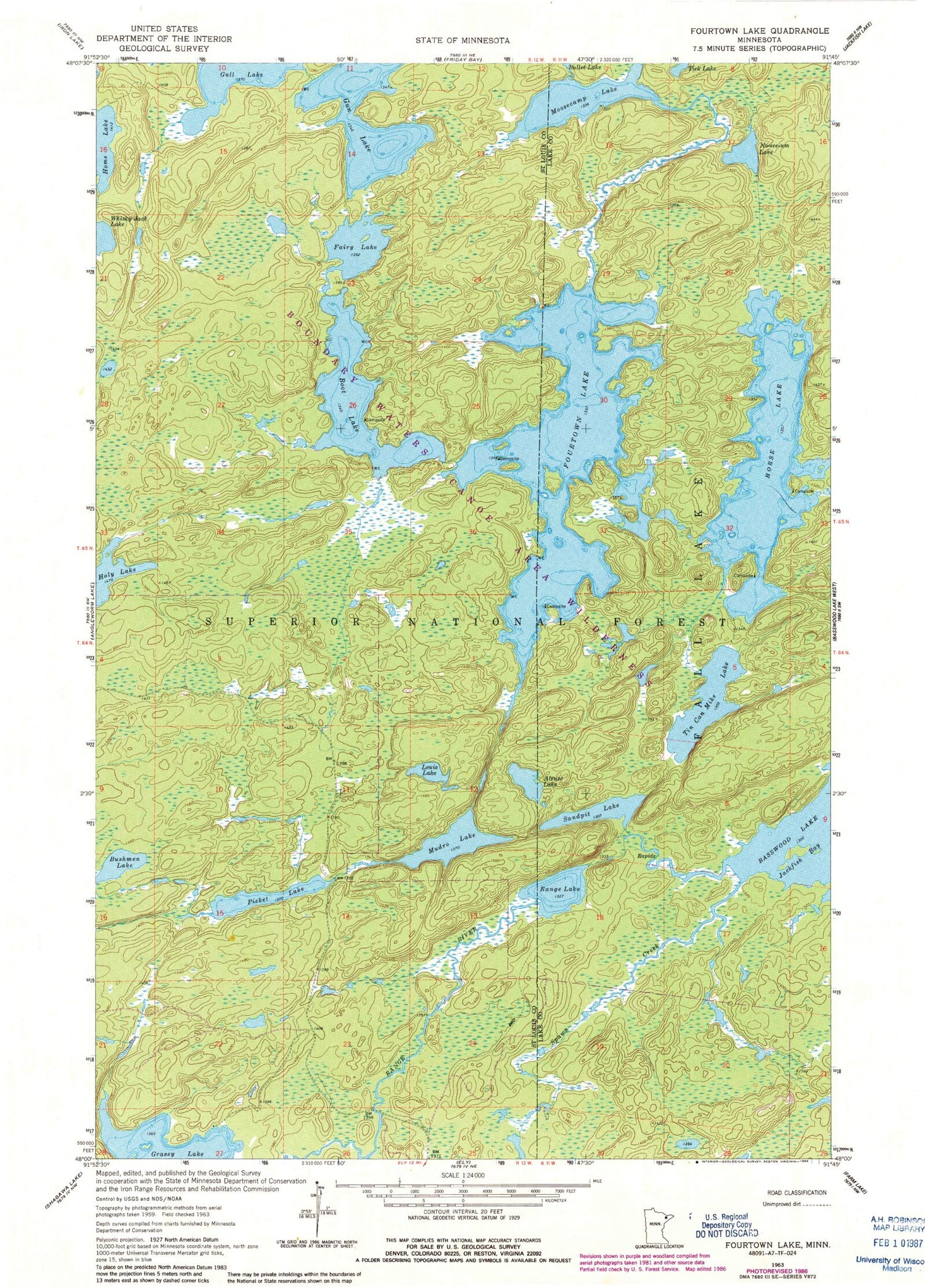
Classic USGS Fourtown Lake Minnesota 7.5'x7.5' Topo Map
Couldn't load pickup availability
Historical USGS topographic quad map of Fourtown Lake in the state of Minnesota. Typical map scale is 1:24,000, but may vary for certain years, if available. Print size: 24" x 27"
This quadrangle is in the following counties: Lake, St. Louis.
The map contains contour lines, roads, rivers, towns, and lakes. Printed on high-quality waterproof paper with UV fade-resistant inks, and shipped rolled.
Contains the following named places: Horse Lake, No-see-um Lake, Sandpit Lake, Tick Lake, Tin Can Mike Lake, Crooked Lake Trail, Alruss Lake, Boot Lake, Bushmen Lake, Fairy Lake, Fourtown Lake, Grassy Lake, Gull Lake, Gun Lake, Holy Lake, Home Lake, Louis Lake, Moosecamp Lake, Mudro Lake, Picket Lake, Range Lake, Range River, Spawn Creek, Whisky Jack Lake, Unorganized Territory of Angleworm Lake (historical)


