MyTopo
Classic USGS Fowler Coulee NE Montana 7.5'x7.5' Topo Map
Regular price
$16.95
Regular price
Sale price
$16.95
Unit price
per
Couldn't load pickup availability
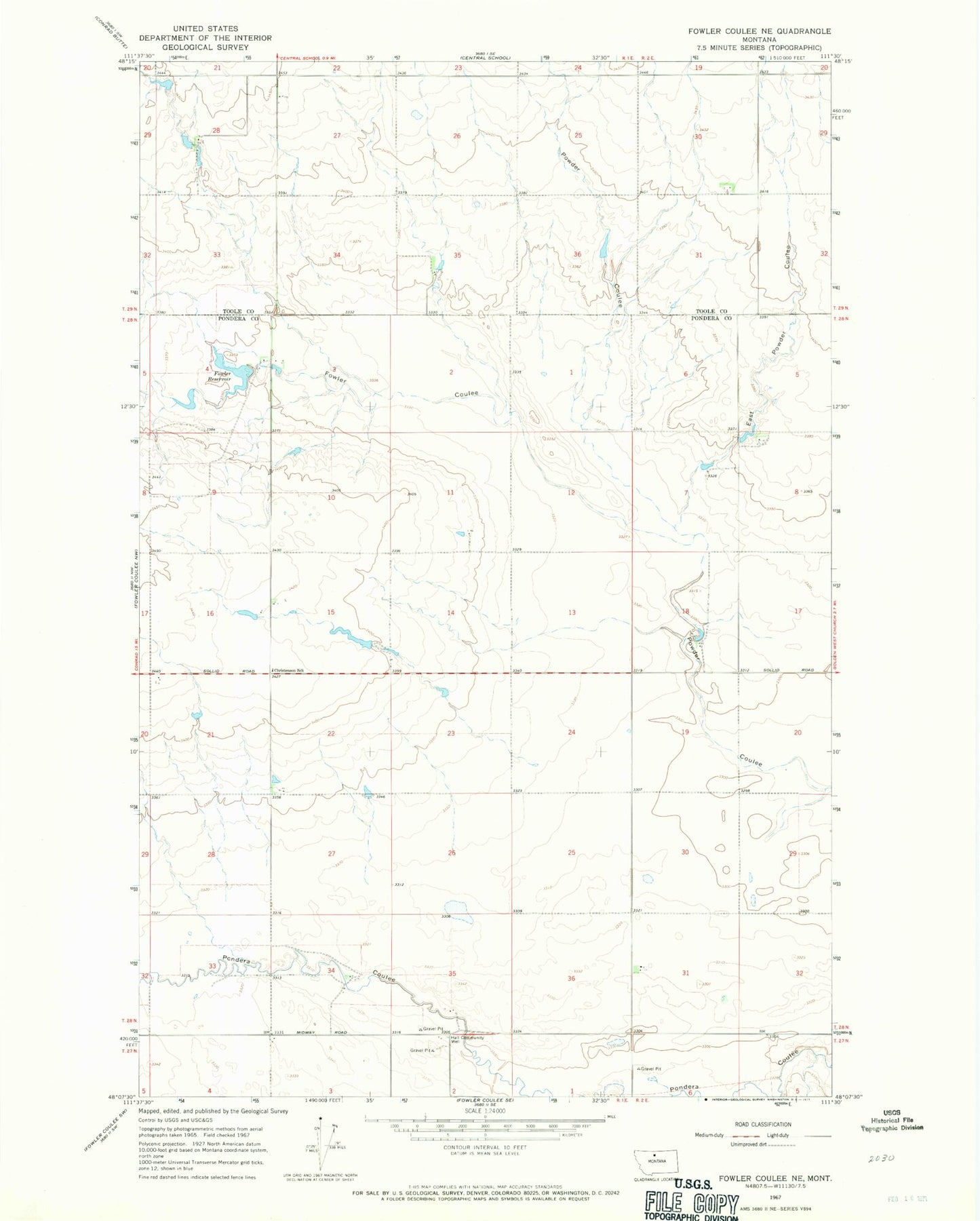
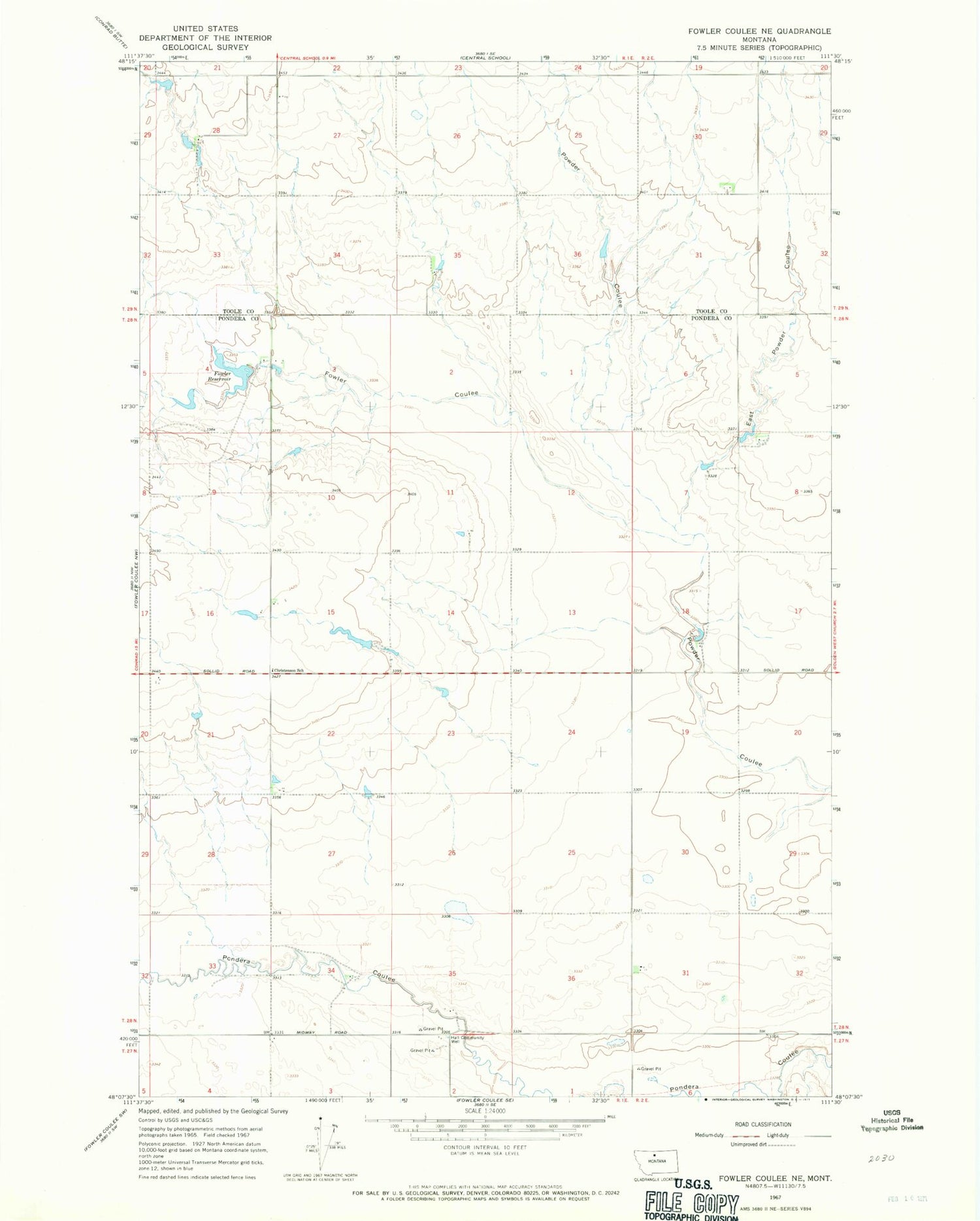
Historical USGS topographic quad map of Fowler Coulee NE in the state of Montana. Map scale may vary for some years, but is generally around 1:24,000. Print size is approximately 24" x 27"
This quadrangle is in the following counties: Pondera, Toole.
The map contains contour lines, roads, rivers, towns, and lakes. Printed on high-quality waterproof paper with UV fade-resistant inks, and shipped rolled.
Contains the following named places: Black Out Dam, Christenson School, East Powder Coulee, Floberg Coulee, Fowler Coulee, Fowler Dam Number 2, Fowler Reservoir, Hall Community Well, Lester Peters Number 1 Dam, Orcutt Ranch Company Number 1 Dam