MyTopo
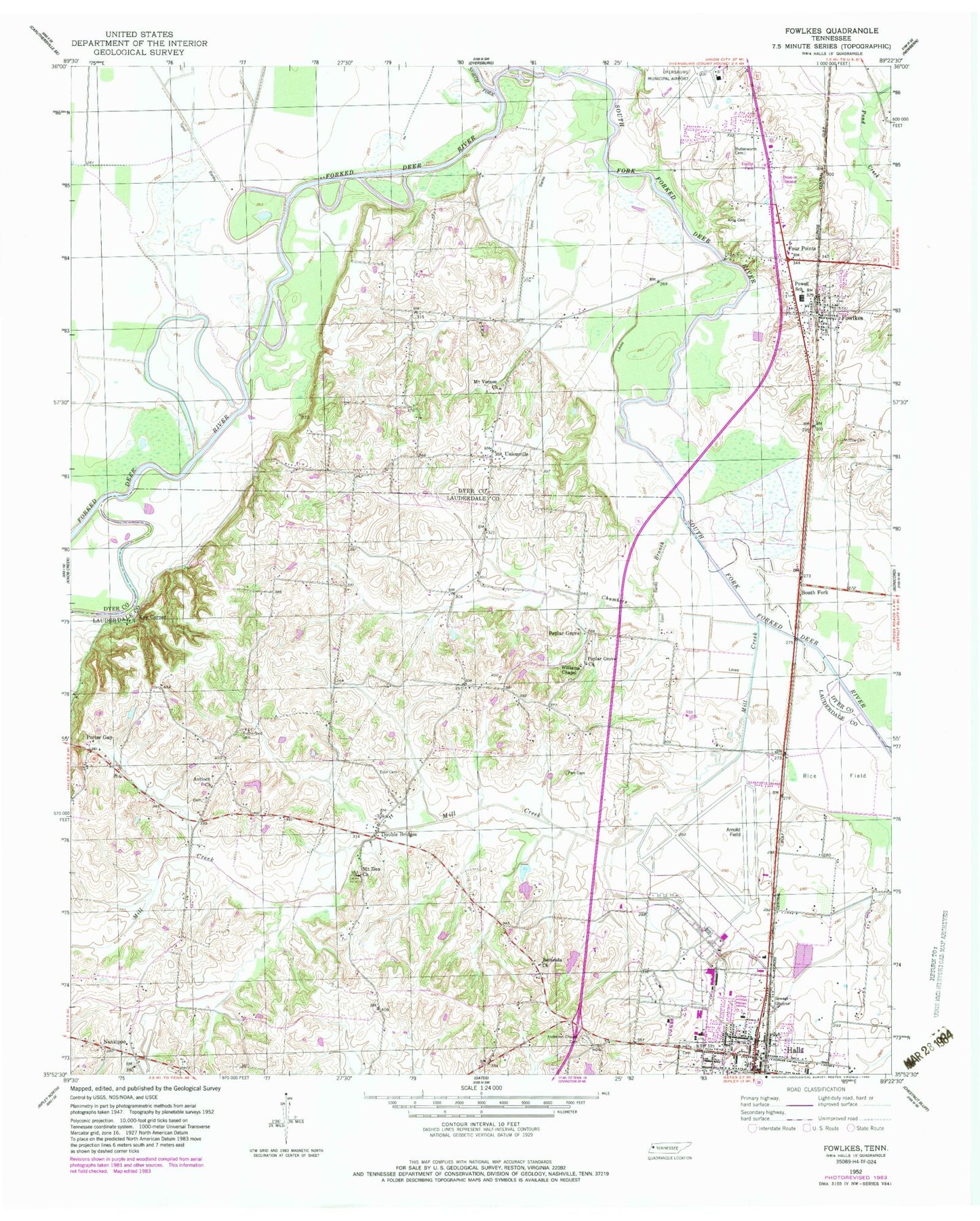
Classic USGS Fowlkes Tennessee 7.5'x7.5' Topo Map
Couldn't load pickup availability
Historical USGS topographic quad map of Fowlkes in the state of Tennessee. Map scale may vary for some years, but is generally around 1:24,000. Print size is approximately 24" x 27"
This quadrangle is in the following counties: Dyer, Lauderdale.
The map contains contour lines, roads, rivers, towns, and lakes. Printed on high-quality waterproof paper with UV fade-resistant inks, and shipped rolled.
Contains the following named places: Anderson Cemetery, Anderson Chapel Cemetery, Antioch Church, Arnold Field, Benton School, Bethesda Church, Butterworth Cemetery, Camp Number Seven, Chambers Branch, Commissioner District 8, District 12, District 13, Double Bridges, Double Bridges School, Dyersburg Army Air Field, Dyersburg Regional Airport, Edwards Creek, Elon Cemetery, Elon CHurch, Four Points, Fowlkes, Fowlkes Baptist Church, Fowlkes Census Designated Place, Fowlkes Volunteer Fire Department, Fowlks Post Office, Halls, Halls Division, Halls Elementary School, Halls Fire Department, Halls First Baptist Church, Halls High School, Halls Police Department, Hoffman Mill, Holice Powell Elementary School, Island Number Four, Island Number One, Island Number Three, Island Number Two, Key Corner, King Cemetery, McCoy Cemetery, Mill Creek, Mount Vernon Church, Mount Zion Church, Nankipoo School, North Fork Forked Deer River, Parr Cemetery, Poplar Grove, Poplar Grove Church, Porter Gap, Rutherford Cemetery, South Fork, South Fork Forked Deer River, Town of Halls, Unionville, Unionville Academy, Williams Chapel, Yellow Bluff, Yellow Bluff Bridge, ZIP Code: 38040


