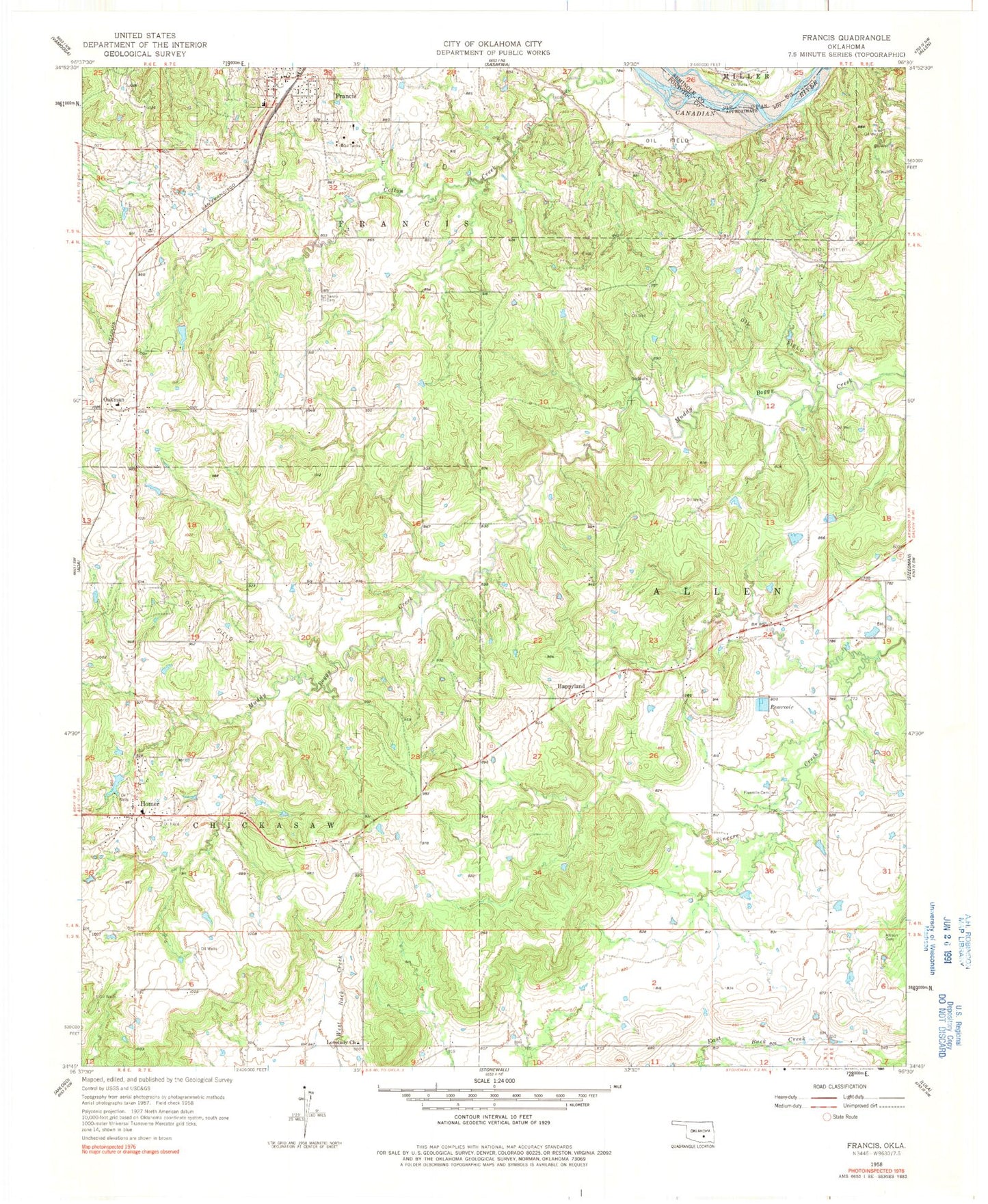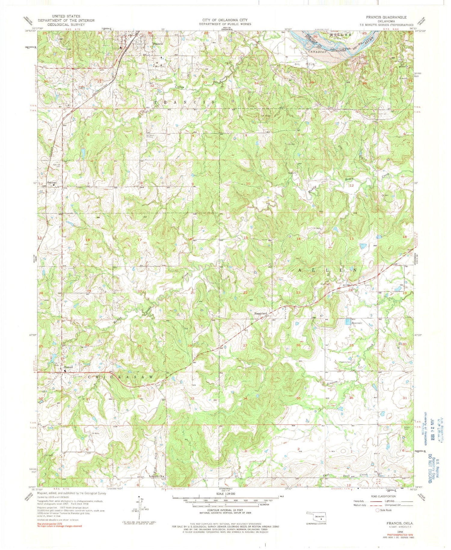
MyTopo
Classic USGS Francis Oklahoma 7.5'x7.5' Topo Map
Couldn't load pickup availability
Historical USGS topographic quad map of Francis in the state of Oklahoma. Map scale may vary for some years, but is generally around 1:24,000. Print size is approximately 24" x 27"
This quadrangle is in the following counties: Pontotoc, Seminole.
The map contains contour lines, roads, rivers, towns, and lakes. Printed on high-quality waterproof paper with UV fade-resistant inks, and shipped rolled.
Contains the following named places: Allison Cemetery, Denney Cemetery, Engel Lake Dam, Engle Lake, Fivemile Cemetery, Francis, Francis Elementary School, Francis Post Office, Francis Volunteer Fire Department, Happyland, Happyland Volunteer Fire Association, Homer, Homer Fire Department, Kilcrease Cemetery, Lovelady Church, Northeast Pontotoc Division, Oakman, Oakman Cemetery, Oknoname 123007 Dam, Oknoname 123007 Reservoir, Oknoname 123008 Dam, Oknoname 123008 Reservoir, Oknoname 123009 Dam, Oknoname 123009 Reservoir, Oknoname 123010 Dam, Oknoname 123010 Reservoir, Oliver Cemetery, Town of Francis, Warren Hogue Dam, Warren Hogue Reservoir, ZIP Code: 74844