MyTopo
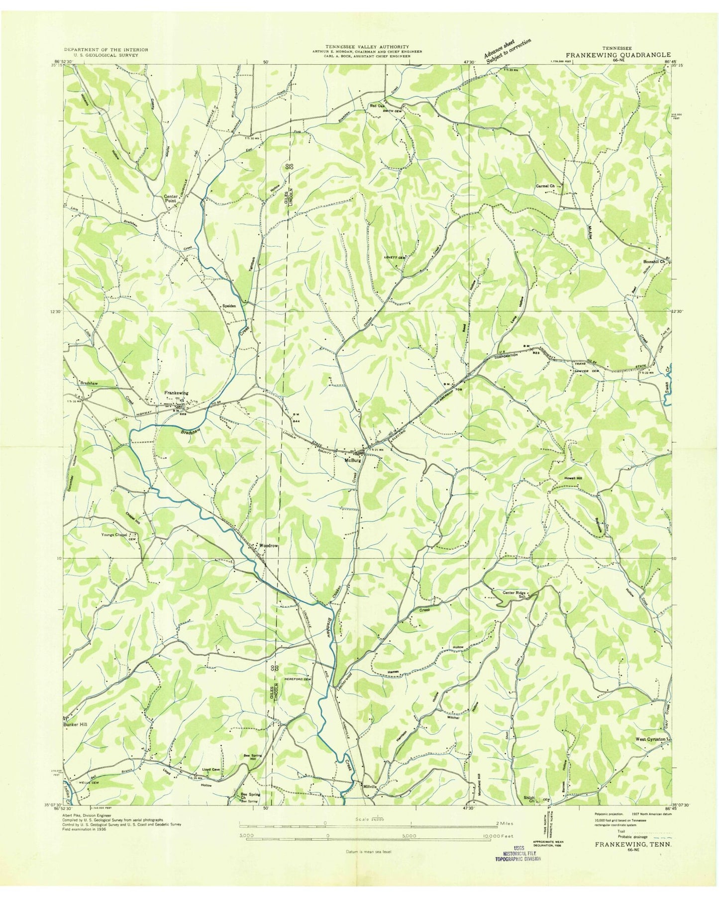
Classic USGS Frankewing Tennessee 7.5'x7.5' Topo Map
Couldn't load pickup availability
Historical USGS topographic quad map of Frankewing in the state of Tennessee. Map scale may vary for some years, but is generally around 1:24,000. Print size is approximately 24" x 27"
This quadrangle is in the following counties: Giles, Lincoln.
The map contains contour lines, roads, rivers, towns, and lakes. Printed on high-quality waterproof paper with UV fade-resistant inks, and shipped rolled.
Contains the following named places: Allsup Cemetery, Backbone Ridge, Ballentine Bluff, Barnes Hollow, Beasley Cemetery, Bee Spring, Bee Spring Cemetery, Bee Spring Church, Bee Spring Hill, Bell Branch, Boonshill Church, Boonshill Division, Bowden Gap, Bradshaw, Bradshaw-Center Point Cemetery, Buffalo Hill, Bugtussle Hollow, Carmel Church, Cathcart Hill, Center Point, Center Ridge School, Chapel Hill, Chicken Creek, Creecy Hollow, Davis Cemetery, Dawes Hill, Duckworth Hollow, East Fork Bradshaw Creek, East Fork Leatherwood Creek, Frankewing, Frankewing Cemetery, Frankewing Census Designated Place, Frankewing Post Office, Frankewing Presbyterian Church, Frankewing United Methodist Church, Garrett Cemetery, George Cemetery, Giles County Fire and Rescue Department - Frankewing, Gill Cemetery, Gunter Cemetery, Hames Hollow, Harrison Hollow, Hedgpeth Cemetery, Hereford Cemetery, Hovis-Gregory Cemetery, Howell Hill, Jerusalem, Johnson Cemetery, Leatherwood Creek, Lee Cemetery, Levairport, Little Bradshaw Creek, Little Creek, Lloyd Hollow, Lovett Cemetery, Luna Hollow, Mansfield Hill, McAfee Creek, McBurg, McBurg Cemetery, McBurg Church of Christ, McBurg Community Center, McBurg United Methodist Church, Melton Cemetery, Millville, Minatra Cemetery, Mitchel Hollow, Park Cemetery, Rambo Cemetery, Red Oak, Reed Hollow, Reed Hollow Branch, Robertson Hollow, Robinson Cemetery, Roden Cemetery, Russell Cemetery, Shiloh Cemetery, Shiloh Church, Smith Cemetery, Speiden, Swinebroad Cemetery, Taylortown, Thorpe Cemetery, Tightbark Hollow, Wells Cemetery, West Cyruston, West Fork Bradshaw Creek, West Fork Leatherwood Creek, William Hollow, Wilson Cemetery, Woodrow, Worsham Hollow, Wright Cemetery, Young Chapel, Youngs Chapel Cemetery, ZIP Code: 38459


