MyTopo
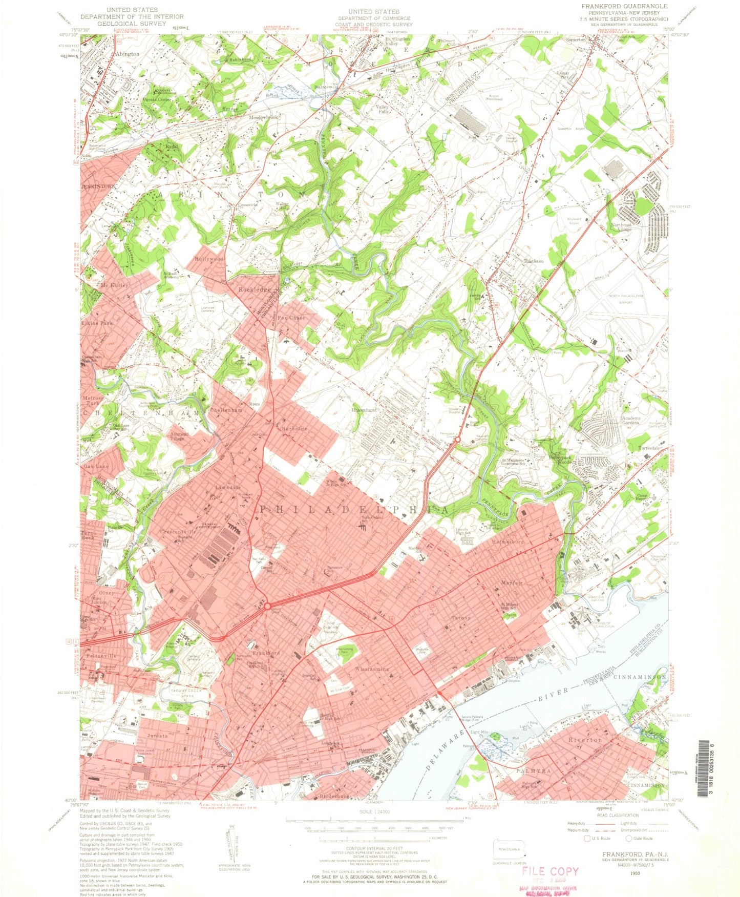
Classic USGS Frankford Pennsylvania 7.5'x7.5' Topo Map
Couldn't load pickup availability
Historical USGS topographic quad map of Frankford in the state of Pennsylvania. Typical map scale is 1:24,000, but may vary for certain years, if available. Print size: 24" x 27"
This quadrangle is in the following counties: Burlington, Montgomery, Philadelphia.
The map contains contour lines, roads, rivers, towns, and lakes. Printed on high-quality waterproof paper with UV fade-resistant inks, and shipped rolled.
Contains the following named places: Pennsylvania State University Ogontz Camp, Academy Gardens, All Saints School, Alverthorpe Park, Belvue Cemetery, Bethel Chapel, Bethesda Church, Boulevard Church, Bridesburg, Bridesburg School, Brown School, Burholme Park, Cardinal Dougherty High School (historical), Carnell School, Cedar Hill Cemetery, Cedar Road School, Chelteham High School, Clara Barton School, Comly School, Creighton School, Crispin School, Crossan School, Disston Park, Disston Recreation Center, Disston School, East Branch Jenkintown Creek, Edmunds School, Elkins Park Junior High School, Ethan Allen School, Farrell School, Father Judge High School, Fels School, Feltonville School, Finletter School, Forrest School, Moss Playground, Fox Chase School, Frankford, Frankford High School, Franklin School, Friends Hospital, George Washington High School, Greater Northeast Congregation, Greenburg School, Greenmount Cemetery, Greenwood Cemetery, Har NEBO Cemetery, Harding Junior High School, Henry School, Old Crispin Cemetery, Holme School, Holy Innocents School, Holy Redeemer Hospital, Hopkinson School, Huntingdon Junior High School, Jacobs School, Jeanes Hospital, Jenkintown Creek, Juniata Park, Kennedy Hospital (historical), Lawn Crest Recreation Center, Lawnview Memorial Park, Lawton School, Lehigh Church, Lincoln High School, Longfellow School, Lorimer Park, Lumar Park, Magnolia Cemetery, Manor Junior College, Marshall School, Mater Dolorosa School, Mayfair School, Meadow Brook, Mill Run, Montefiore Cemetery, Moore School, Mount Carmel Cemetery, Mount Sinai Cemetery, Myers School, Nazareth Hospital, North Cedar Hills Cemetery, Northeast High School, Northwood Park, Oakland Cemetery, Ogontz Center, Olivet Ashbourne Church, Olney, Olney High School, Olney Recreation Center, Olney School, Our Lady of Consolation School, Our Lady of Ransom School, Oxford Circle, Eastern Regional Medical Center, Pennypack Circle, Pennypack Park, Presentation School, Rhawnhurst School, Robinhood Brook, Rockledge, Rockledge Branch, Rodeph Shalom Center, Roosevelt Playground, Rowland School, Saint Ambrose School, Saint Bartholomews School, Saint Basil Academy, Saint Bernards School, Saint Cecilias School, Saint Dominics Schools, Saint Hilarys School, Saint Huberts High School, Saint Joachims School, Saint Josephs School, Saint Leos School, Saint Margarets Vocational School, Saint Martins School, Saint Mary's Ukrainian Catholic Cemetery, Saint Matthews School, Saint Pauls Church, Saint Vincents School, Saint Williams School, Sandy Run, Angela Jane Pavilion Rehabilitation Hospital, Smedley School, Sohs-Cohen School, Spruance School, Sullivan School, Tacony Creek Park, Russo Park Playground, Temple Beth-Torah, Temple Sholom, Torresdale, Vogt Playground, Gambrell Playground, Wilson Junior High School, Wissinoming Park, Wooden Bridge Run, Huntingdon Valley, Huntingdon Valley Creek, Lighthouse Field, Noble, Pennypack Creek, Somerton, Northeast Philadelphia Airport, Moreland Pond, Moreland Spring Dam, Ten Mile Point, Tacony Channel, Frankford Channel, Bridesburg Channel, Blue Grass, Lagrange, Philmont, Harpers, Holmesburg Junction, Liddenfield, Rowland, Cedar Grove, Volunteertown, Vereeville, Fitler, Pennypack Woods, Tacony Creek, Oak Lane, Debris Dam, Little Tacony Creek (historical), Wissinoming Creek (historical), Oaklane, Cheltenham Village, Oak Lane Manor, Elkins Park Gardens, Rydal East, Rydal Park, Wyndmoor Estates, Upper Holmesburg, Lexington Park, Winchester Park, Ashton Wooden Bridge, High Rue, Oxford Village, Oxford Circle, Lawn Crest, Pauls Run, Pennypack, Northwood, Summerdale, Ashmead Village, Bethayres, Burholme, Bustleton, Cheltenham, Crescentville, Crosswicks, Fox Chase, Hollywood, Holme Circle, Holmesburg, Juniata, Lawndale, Mayfair, McKinley, Meadowbrook, Rhawnhurst, Rydal, Ryers, Tacony, Valley Falls, Walnut Hill, Wissinoming, Abington, Rydal County Club, Whitehall, Rocky Hill, Five Points, Oxford Church, Chelbourne Plaza, Rolling Hill Hospital, Pilgrim Lutheran Church, Saint Aiden Episcopal Church, Cheltenham United Methodist Church, New Apostolic Church, Berachan Church, Melrose Park, Melrose Carmel Presbyterian Church, Lawndale Station, Armenian Church of America, Cheltenham Station, Saint Marks Reformed Episcopal Church, Rydal Station, Abington Friends Cemetery, Abington Memorial Hospital, Northeast Christian Day School, Abington Friends School, First Baptist Church


