MyTopo
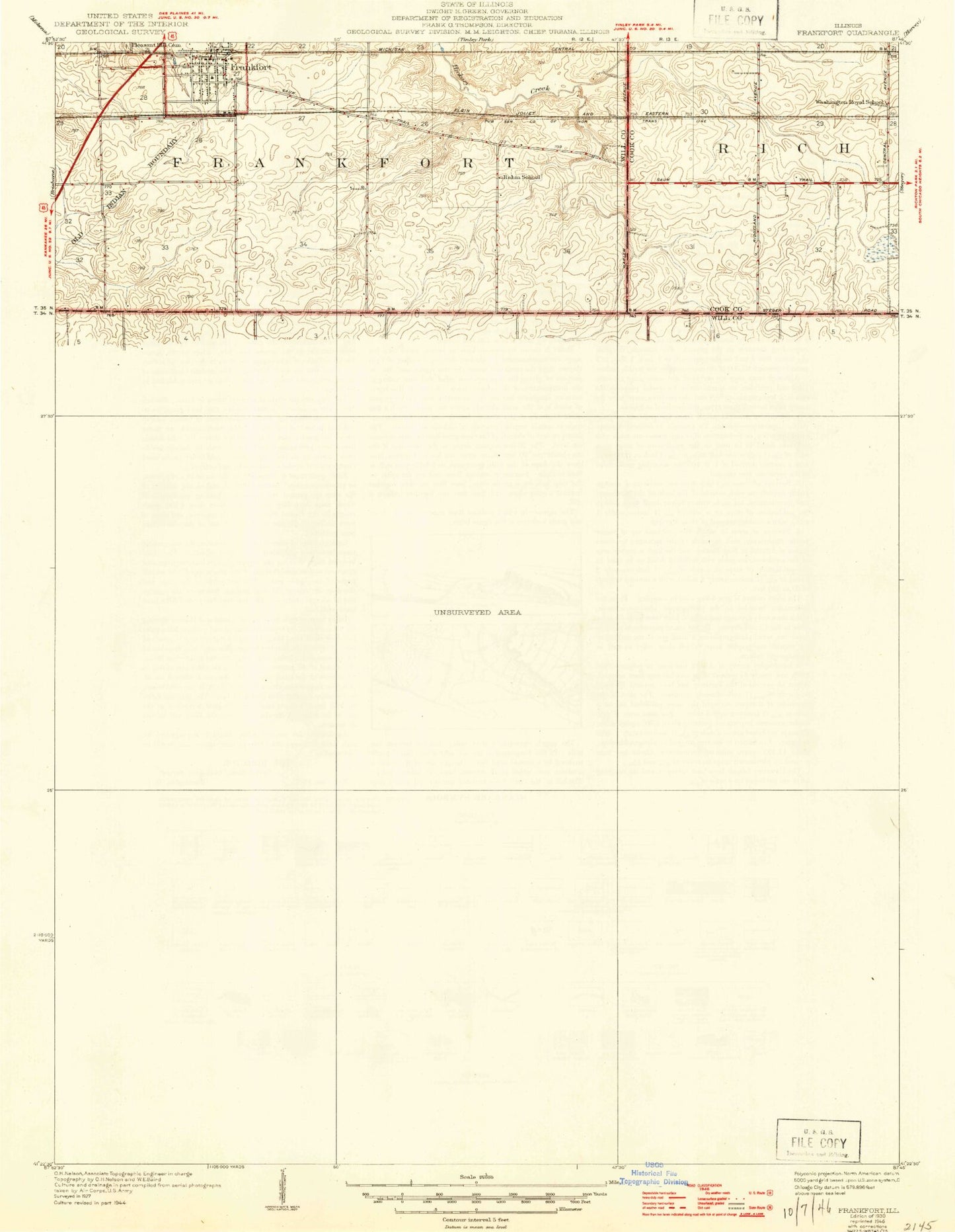
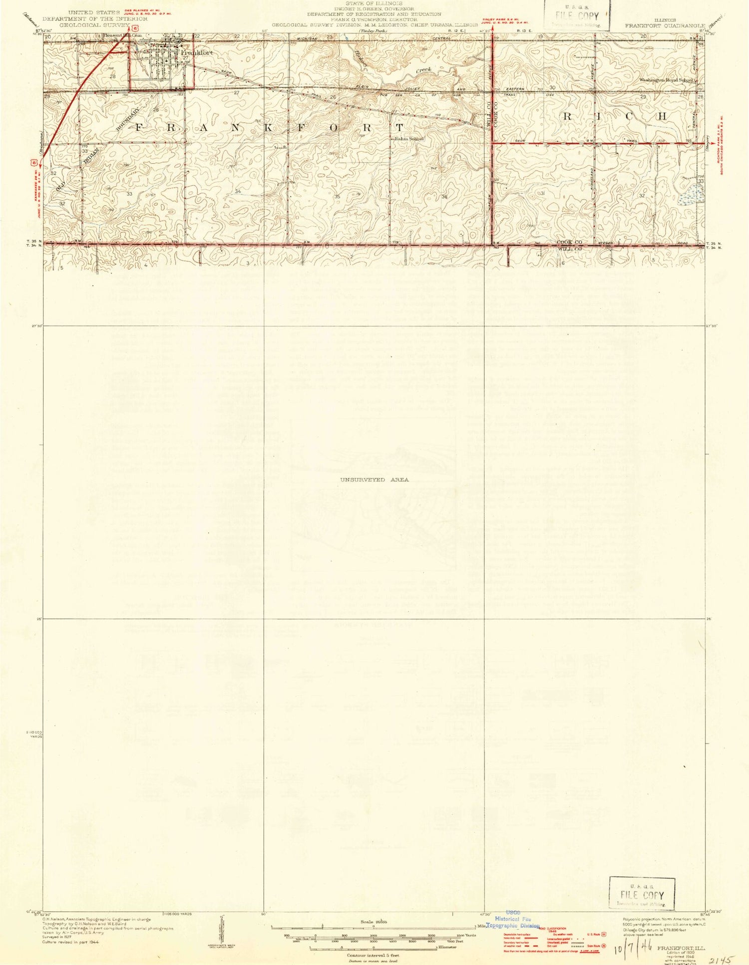
Classic USGS Frankfort Illinois 7.5'x7.5' Topo Map
Couldn't load pickup availability
Historical USGS topographic quad map of Frankfort in the state of Illinois. Map scale may vary for some years, but is generally around 1:24,000. Print size is approximately 24" x 27"
This quadrangle is in the following counties: Cook, Will.
The map contains contour lines, roads, rivers, towns, and lakes. Printed on high-quality waterproof paper with UV fade-resistant inks, and shipped rolled.
Contains the following named places: Airport Industrial Park, Breidert Green Park, Brookside Park, Camp Manitoqua, Country Hills, Country Oaks, Esch School, Fehland School, Frankfort, Frankfort Airport, Frankfort Fire Protection District Station 1, Frankfort Junior High School, Frankfort School, Frankfort United Methodist Church, Gorman Farm, Green Garden Country Club, Green Garden Elementary School, Harms School, Hasenjager School, Hickory Creek Elementary School, Main Park, Meadow Creek Airport, Monee Fire Protection District Station 2, Monee Reservoir, Monee Reservoir Dam, Pleasant Hill Cemetery, Prestwick Country Club, Raccoon Grove, Raccoon Grove Forest Preserve, Rahm School, Ridgeland Lakes Estates, Rose Hill Cemetery, Saint Anthonys Church, Saint Johns Church, Saint John's United Church of Christ Cemetery, Saint Peter's Cemetery, Saint Peters United Church of Christ, Sauk Trail Dam, Sauk Trail Forest Preserve, Schafer School, Schannen School, Schlem Cemetery, Sinter Metals Industrial Park, Stassen School, Timber Ridge Mobile Home Park, Township of Green Garden, Twining Cemetery, Union Cemetery, Village of Frankfort, Village of Monee, Washington Royal School, Wix Airport, ZIP Codes: 60423, 60449


