MyTopo
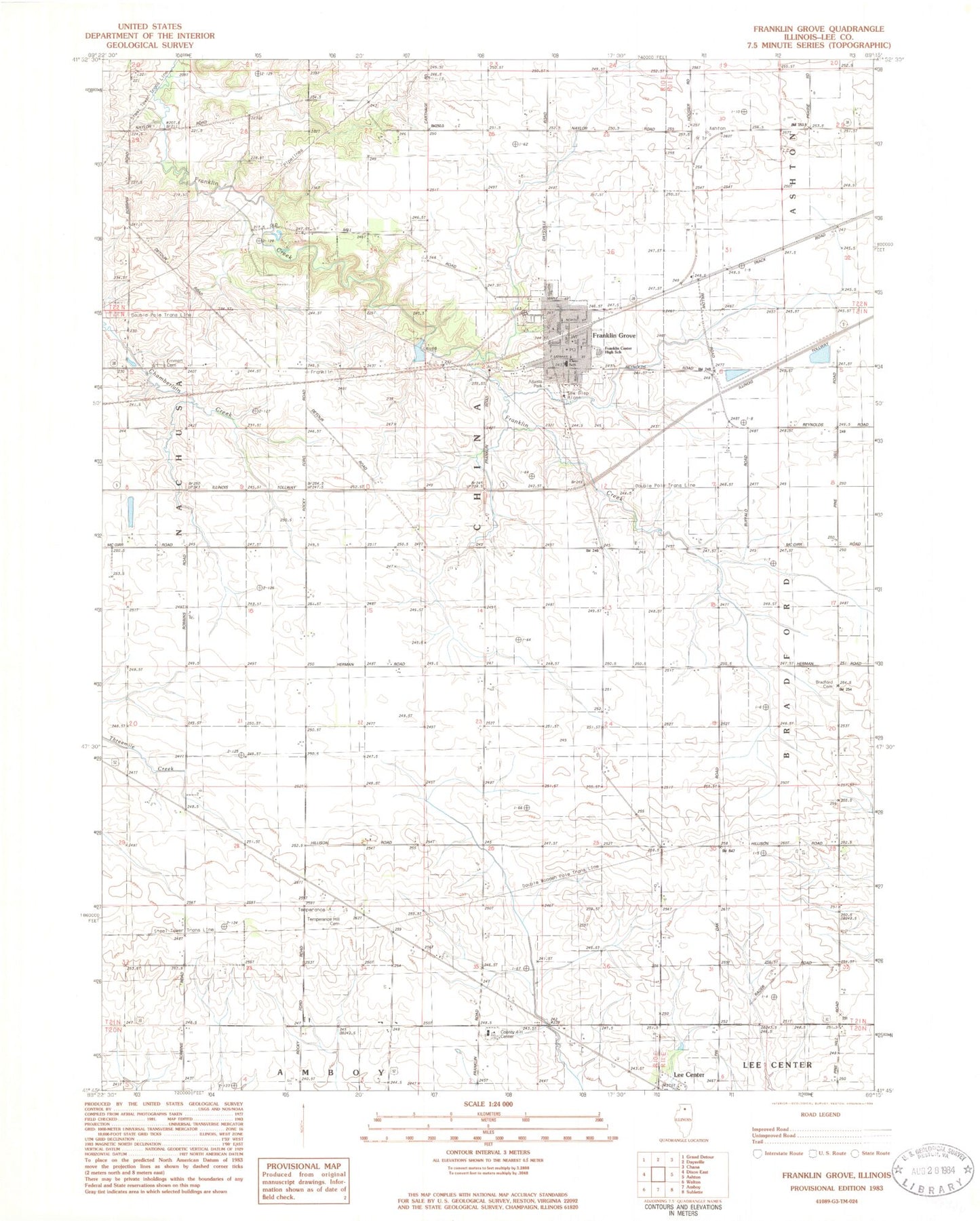
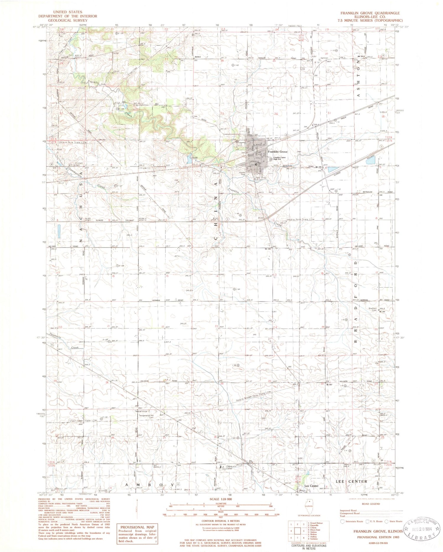
Classic USGS Franklin Grove Illinois 7.5'x7.5' Topo Map
Couldn't load pickup availability
Historical USGS topographic quad map of Franklin Grove in the state of Illinois. Map scale may vary for some years, but is generally around 1:24,000. Print size is approximately 24" x 27"
This quadrangle is in the following counties: Lee.
The map contains contour lines, roads, rivers, towns, and lakes. Printed on high-quality waterproof paper with UV fade-resistant inks, and shipped rolled.
Contains the following named places: Atlasta Park, Bradford Cemetery, Church of the Brethren, Emmert Cemetery, Emmert School, First Presbyterian Church, Franklin Center Elementary School, Franklin Center High School, Franklin Creek Nature Preserve, Franklin Creek State Park, Franklin Grove, Franklin Grove Cemetery, Franklin Grove Fire Department, Franklin Grove Police Department, Franklin Grove Post Office, Franklin Grove Public Library, Gittleson Farms Airport, Graves School, Harck School, Harrison Hog Farms, Hart Farms, Hart School, Hausen School, Heng Farm, Lee Center Census Designated Place, Lee County 4-H Center, Mill Springs Day Use Area, Mondays Bridge, Mong School, Saint Pauls Lutheran Church, Samuel Dysant School, Sanders School, Spencer School, Sundays Bridge, Temperance Hill Cemetery, Temperance Hill Cemetery Prairie Nature Preserve, Temperance Hill School, Township of Franklin Grove, Township of Nachusa, Village of Franklin Grove, ZIP Code: 61031


