MyTopo
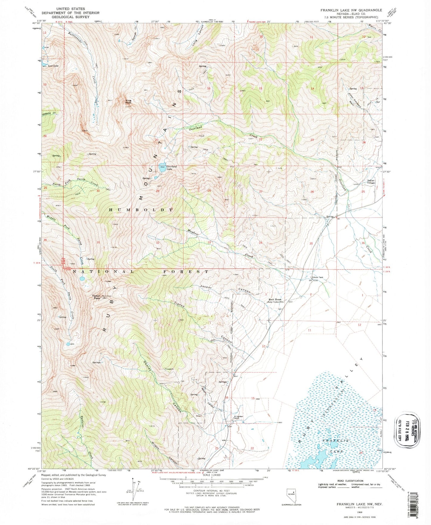
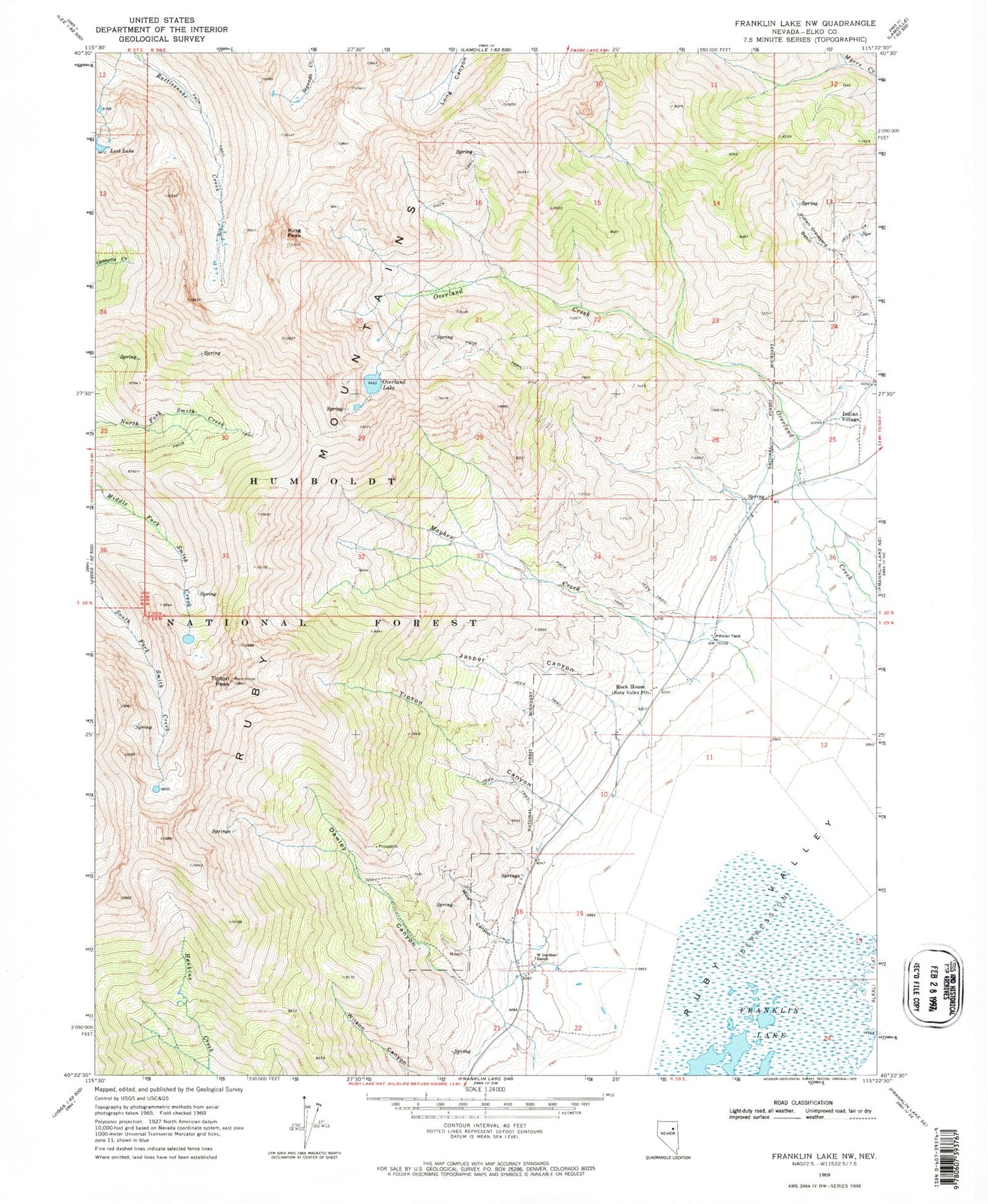
Classic USGS Franklin Lake NW Nevada 7.5'x7.5' Topo Map
Couldn't load pickup availability
Historical USGS topographic quad map of Franklin Lake NW in the state of Nevada. Typical map scale is 1:24,000, but may vary for certain years, if available. Print size: 24" x 27"
This quadrangle is in the following counties: Elko.
The map contains contour lines, roads, rivers, towns, and lakes. Printed on high-quality waterproof paper with UV fade-resistant inks, and shipped rolled.
Contains the following named places: Jasper Creek, Tipton Peak, Tipton Creek, Dawley Canyon, Indian Graveyard Basin, Indian Village, Jasper Canyon, King Peak, Mayhew Creek, Mica Canyon, Overland Lake, Rock House, Ruby Mountains, Tipton Canyon, W Gardner Ranch, Ruby Crest Trail, Big Mica Mine, Rock House Ranch, Ward Ranch, Ruby Valley School (historical), Wines Ranch, Dawleys Creek, Ruby Valley Indian Reservation (historical), Overland Lake Trail Head, Ruby Valley Post Office (historical), Ruby Valley Volunteer Fire Department


