MyTopo
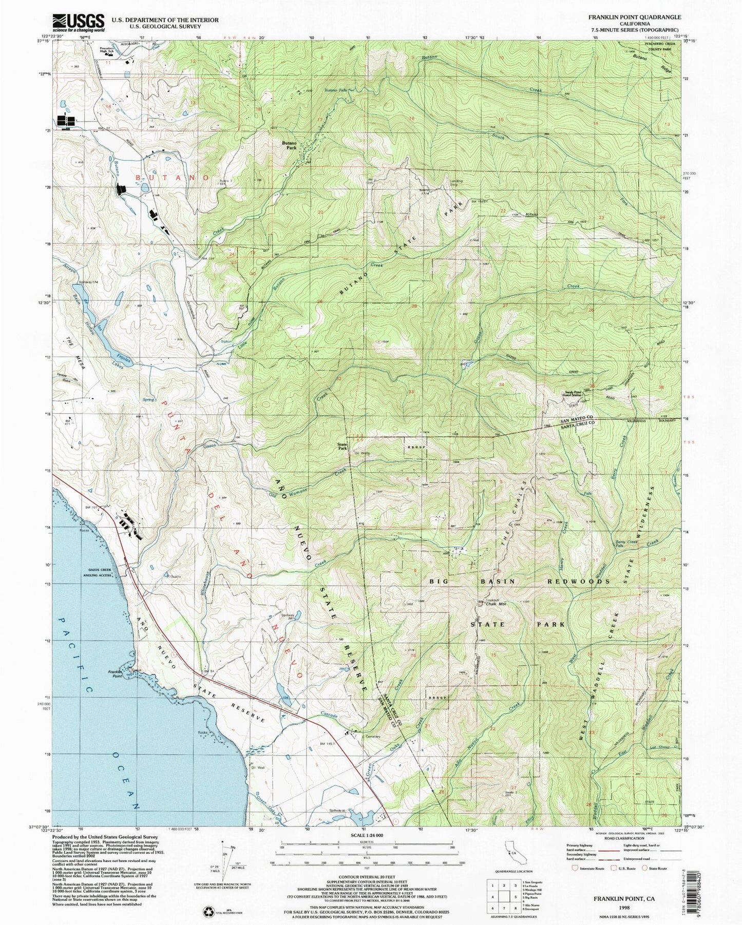
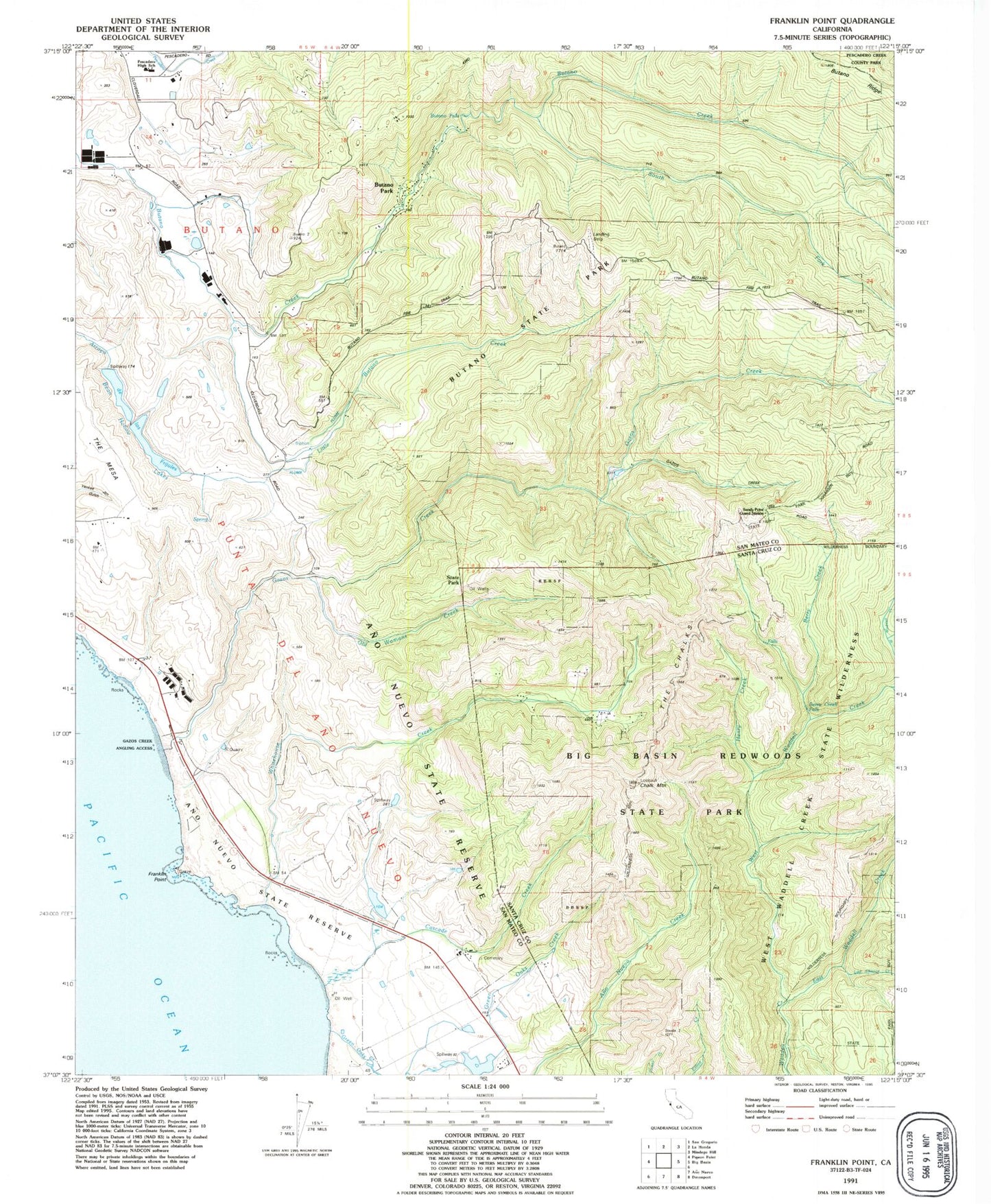
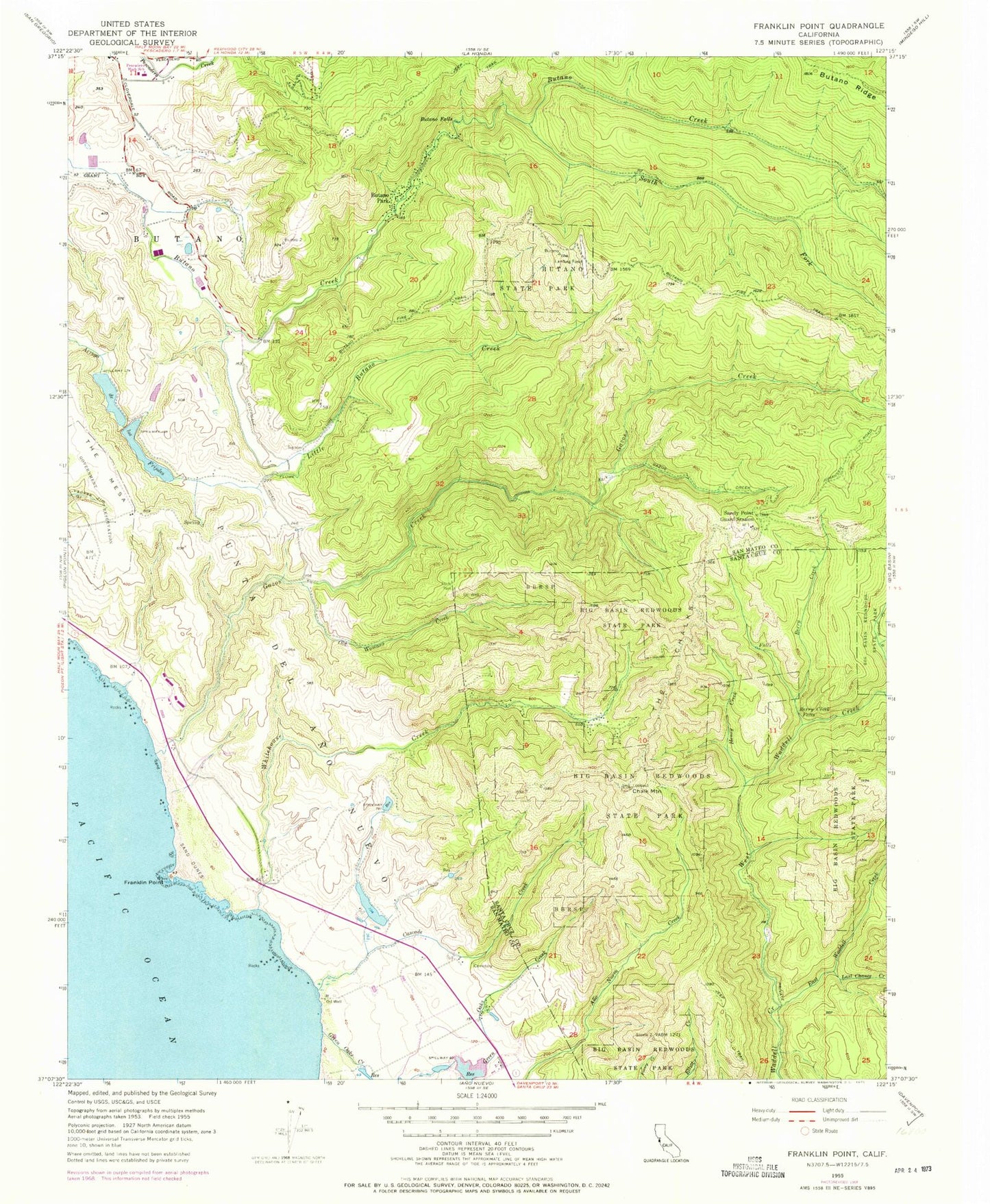
Classic USGS Franklin Point California 7.5'x7.5' Topo Map
Couldn't load pickup availability
Historical USGS topographic quad map of Franklin Point in the state of California. Typical map scale is 1:24,000, but may vary for certain years, if available. Print size: 24" x 27"
This quadrangle is in the following counties: San Mateo, Santa Cruz.
The map contains contour lines, roads, rivers, towns, and lakes. Printed on high-quality waterproof paper with UV fade-resistant inks, and shipped rolled.
Contains the following named places: Ano Nuevo State Park, Berry Creek, Berry Creek Falls, Butano Falls, Butano State Park, Cascade Creek, Chalk Mountain, East Waddell Creek, Franklin Point, Gazos Creek, Henry Creek, Kelly Creek, Last Chance Creek, Little Butano Creek, Old Womans Creek, Punta Del Ano Nuevo, Sandy Point Guard Station, Butano, Pescadero Middle and High School, South Fork Butano Creek, The Chalks, Timms Creek, West Waddell Creek, Whitehouse Creek, Butano Park, Bean Hollow Number 2 602-002 Dam, Bean Hollow Number 3 602-003 Dam, Arroyo de los Frijoles, Bean Hollow Lake, Chalks Lookout, Notley Junction, Middle Fork Gazos Creek, Whitehouse Camp, Ano Nuevo Coast Natural Preserve, Gazos Creek Coastal Access, Ano Nuevo Trail, Atkinson Bluff Trail, Ben Ries Camp Ground, Butano State Park Headquarters, Canyon Trail, Cascade Creek Trail, Cascade Ranch State Park (historical), Creek Trail, Doe Ridge Trail, Franklin Point Trail, Gazos Creek Angling Unit (historical), Gazos Trail, Goat Hill Trail, Indian Trail, Jackson Flats Trail, Mill Ox Trail, Roy Linder Memorial Trail, Six Bridge Trail, Six Bridge Trail Picnic Area, Berry Creek Falls Trail, Camp Herbert Trail Camp, Golden Falls, Henry Creek Trail, Howard King Trail, McCrady Ridge Trail, Silver Falls, Sunset Trail Camp, Timms Creek Trail, Pescadero Continuation High School, North Fork Gazos Creek, South Fork Gazos Creek, Quiroste Valley Cultural Preserve, West Waddell Creek State Wilderness, Ano Nuevo State Park, Berry Creek, Berry Creek Falls, Butano Falls, Butano State Park, Cascade Creek, Chalk Mountain, East Waddell Creek, Franklin Point, Gazos Creek, Henry Creek, Kelly Creek, Last Chance Creek, Little Butano Creek, Old Womans Creek, Punta Del Ano Nuevo, Sandy Point Guard Station, Butano, Pescadero Middle and High School, South Fork Butano Creek, The Chalks, Timms Creek, West Waddell Creek, Whitehouse Creek, Butano Park, Bean Hollow Number 2 602-002 Dam, Bean Hollow Number 3 602-003 Dam, Arroyo de los Frijoles, Bean Hollow Lake, Chalks Lookout, Notley Junction, Middle Fork Gazos Creek, Whitehouse Camp, Ano Nuevo Coast Natural Preserve, Gazos Creek Coastal Access, Ano Nuevo Trail, Atkinson Bluff Trail, Ben Ries Camp Ground, Butano State Park Headquarters, Canyon Trail, Cascade Creek Trail, Cascade Ranch State Park (historical), Creek Trail, Doe Ridge Trail, Franklin Point Trail, Gazos Creek Angling Unit (historical), Gazos Trail, Goat Hill Trail, Indian Trail, Jackson Flats Trail, Mill Ox Trail, Roy Linder Memorial Trail, Six Bridge Trail, Six Bridge Trail Picnic Area, Berry Creek Falls Trail, Camp Herbert Trail Camp, Golden Falls, Henry Creek Trail, Howard King Trail, McCrady Ridge Trail, Silver Falls, Sunset Trail Camp, Timms Creek Trail, Pescadero Continuation High School, North Fork Gazos Creek, South Fork Gazos Creek, Quiroste Valley Cultural Preserve, West Waddell Creek State Wilderness


