MyTopo
Classic USGS Franklin Well California 7.5'x7.5' Topo Map
Regular price
$16.95
Regular price
Sale price
$16.95
Unit price
per
Couldn't load pickup availability
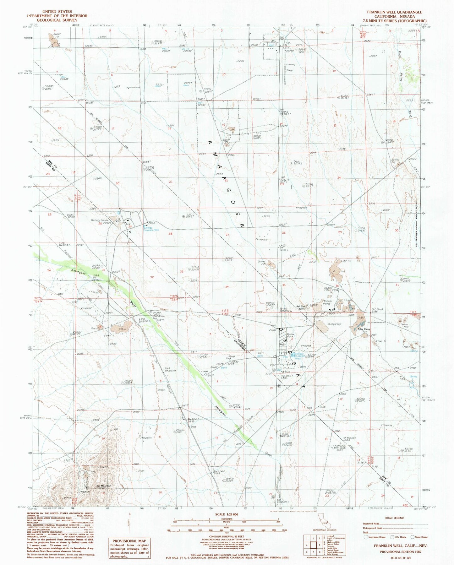
Historical USGS topographic quad map of Franklin Well in the states of California, Nevada. Map scale may vary for some years, but is generally around 1:24,000. Print size is approximately 24" x 27"
This quadrangle is in the following counties: Inyo, Nye.
The map contains contour lines, roads, rivers, towns, and lakes. Printed on high-quality waterproof paper with UV fade-resistant inks, and shipped rolled.
Contains the following named places: Amargosa Valley Fire Department, Ash Meadows Mining District, Ash Tree Spring, Clay Camp, Embry Well, Franklin Well, Imvite Airport, Mecca Well, North Evaporation Pond Dam, Rock Valley Wash