MyTopo
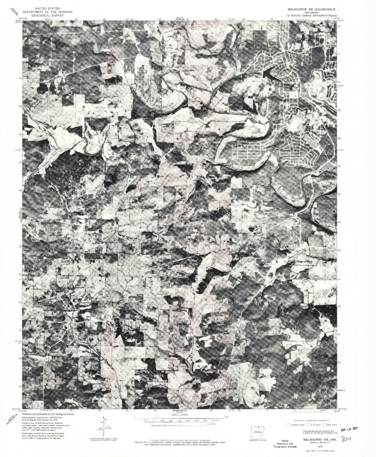
Classic USGS Franklin Arkansas 7.5'x7.5' Topo Map
Couldn't load pickup availability
Historical USGS topographic quad map of Franklin in the state of Arkansas. Map scale may vary for some years, but is generally around 1:24,000. Print size is approximately 24" x 27"
This quadrangle is in the following counties: Izard.
The map contains contour lines, roads, rivers, towns, and lakes. Printed on high-quality waterproof paper with UV fade-resistant inks, and shipped rolled.
Contains the following named places: Arkansas Emergency Transport Horse Shoe Bend, Bass Lake, Bullpen Creek, Burns Hill, Cedar Glade Lake, Cedar Glade Lake Dam, Forest Cemetery, Forrest Chapel United Methodist Church, Franklin, Franklin Post Office, Franklin Volunteer Fire and Rescue Violet Hill, Franklin Volunteer Fire Department, Horseshoe Bend, Horseshoe Bend Airport, Horseshoe Bend Police Department, Horseshoe Bend Volunteer Fire Department, Lake Pioneer, Lake Pioneer Dam, Liberty Church, Little Strawberry River, Lodge Lake, Nebo Cemetery, New Liberty, New Liberty Cemetery, Oak Grove Cemetery, Old Liberty Cemetery, Sandy Creek, Town of Franklin, Township of Baker, Township of Franklin, Township of Violet Hill, Violet Hill, Violet Hill Cemetery, Violet Hill Census Designated Place, Violet Hill Post Office, White Oak Lake, White Oak Lake Dam, Wiseman, Wiseman Cemetery, Wiseman Post Office, ZIP Codes: 72536, 72584, 72587